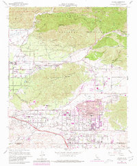
1967 Map of Yucaipa
USGS Topo · Published 1980About this map
Yucaipa and its surrounding valleys are captured here during a period of significant suburban expansion, evidenced by the purple-tinted updates that overlay the earlier survey. The landscape transitions from the rugged foothills of the San Bernardino National Forest, featuring landmarks like Cram Peak and Morton Peak, down into the developed grids of Redlands and Mentone. Water management is central to the area's layout, with percolation basins near the Santa Ana River and the Wilson Flood Control Basin regulating flow from Oak Glen Creek. Educational and civic growth is prominent, shown through the sites of Yucaipa High Sch, Crafton Sch, and the Mill Creek Ranger Station. The map illustrates the era's evolving residential patterns as small settlements like Dunlap Acres and Calimesa begin to merge into a more continuous urban fabric while maintaining proximity to the wild terrain of the Crafton Hills.
Find a feature on this map
58 named features on this map. Tap any name to fly to it.
Don’t see what you’re looking for? This feature index may not catch every label — zoom into the map to look around manually.
Map Details
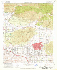
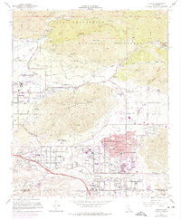
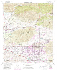
Editions of this 1967 Yucaipa Map
4 editions found
Other maps of this area

1899 · Redlands
USGS Topo · 1:62,500

1901 · Southern California Sheet No. 1
USGS Topo · 1:250,000

1901 · San Jacinto
USGS Topo · 1:125,000

1901 · Redlands
USGS Topo · 1:62,500

1901 · Elsinore
USGS Topo · 1:125,000

1902 · San Gorgonio
USGS Topo · 1:125,000

1904 · Southern California Sheet No. 1
USGS Topo · 1:250,000

1942 · Banning
USGS Topo · 1:62,500

1942 · Perris
USGS Topo · 1:62,500

1943 · Perris
USGS Topo · 1:62,500