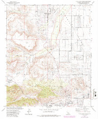
1972 Map of Yucca Valley North
USGS Topo · Published 1986About this map
Pioneertown stands as a focal point in this high-desert landscape, reflecting the mid-century development of the San Bernardino County backcountry. The terrain is defined by dramatic volcanic and tectonic features, including Black Lava Butte and the jagged Sawtooths, while Pipes Wash and Chaparrosa Wash trace the ephemeral drainage patterns of the Homestead Valley.
Find a feature on this map
29 named features on this map. Tap any name to fly to it.
Don’t see what you’re looking for? This feature index may not catch every label — zoom into the map to look around manually.
Map Details
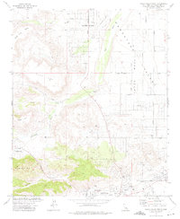
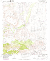
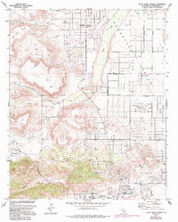
Editions of this 1972 Yucca Valley North Map
4 editions found
Other maps of this area

1901 · Southern California Sheet No. 1
USGS Topo · 1:250,000

1902 · San Gorgonio
USGS Topo · 1:125,000

1904 · Southern California Sheet No. 1
USGS Topo · 1:250,000

1953 · San Bernardino
USGS Topo · 1:250,000

1955 · Goat Mountain
USGS Topo · 1:24,000

1955 · Old Woman Springs
USGS Topo · 1:62,500

1955 · Emerson Lake
USGS Topo · 1:62,500

1955 · Morongo Valley
USGS Topo · 1:62,500

1955 · Joshua Tree
USGS Topo · 1:62,500

1956 · San Bernardino
USGS Topo · 1:250,000