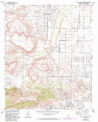
1972 Map of Yucca Valley North
USGS Topo · Published 1994About this map
Pioneertown and the northern reaches of Yucca Valley define this landscape where the high desert meets transition-zone geology. The map details a period of expansion in the 1970s and 1990s, revealing a grid of residential streets like La Brisa Drive and Aberdeen Drive pushing into the arid flats. Cultural landmarks like Desert Christ Park sit near the base of the Sawtooths, while the Yucca Valley Airport serves as a hub for the developing valley floor.
Find a feature on this map
32 named features on this map. Tap any name to fly to it.
Don’t see what you’re looking for? This feature index may not catch every label — zoom into the map to look around manually.
Map Details
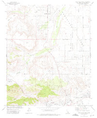
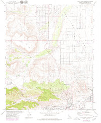
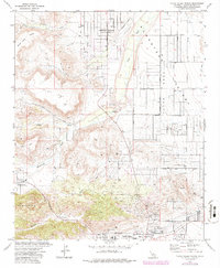
Editions of this 1972 Yucca Valley North Map
4 editions found
Other maps of this area

1901 · Southern California Sheet No. 1
USGS Topo · 1:250,000

1902 · San Gorgonio
USGS Topo · 1:125,000

1904 · Southern California Sheet No. 1
USGS Topo · 1:250,000

1953 · San Bernardino
USGS Topo · 1:250,000

1955 · Goat Mountain
USGS Topo · 1:24,000

1955 · Old Woman Springs
USGS Topo · 1:62,500

1955 · Emerson Lake
USGS Topo · 1:62,500

1955 · Morongo Valley
USGS Topo · 1:62,500

1955 · Joshua Tree
USGS Topo · 1:62,500

1956 · San Bernardino
USGS Topo · 1:250,000