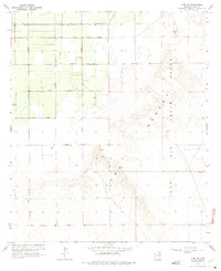
1965 Map of Yuma SE
USGS Topo · Published 1975About this map
Agricultural development and military expansion define this corner of the Sonoran landscape during the mid-1960s. The northwest portion of the map is a geometric grid of irrigated fields, serviced by a primary Canal and Lateral B. These farms are organized by a rigorous system of thoroughfares, including 15th Street and 16th Street, while numerous mapped wells suggest the heavy reliance on groundwater to sustain this desert outpost.
Find a feature on this map
19 named features on this map. Tap any name to fly to it.
Don’t see what you’re looking for? This feature index may not catch every label — zoom into the map to look around manually.
Map Details
Editions of this 1965 Yuma SE Map
3 editions found
Other maps of this area

1903 · Yuma
USGS Topo · 1:125,000

1905 · Yuma
USGS Topo · 1:125,000

1926 · Fortuna
USGS Topo · 1:62,500

1929 · Fortuna
USGS Topo · 1:62,500

1940 · Yuma
USGS Topo · 1:62,500

1942 · Yuma
USGS Topo · 1:250,000

1945 · Yuma
USGS Topo · 1:62,500

1952 · Yuma East
USGS Topo · 1:24,000

1952 · Yuma West
USGS Topo · 1:24,000

1954 · El Centro
USGS Topo · 1:250,000