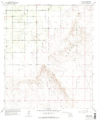
1965 Map of Yuma SE
USGS Topo · Published 1975About this map
Agricultural development and military training grounds intersect in this mid-century survey of the Arizona landscape. The western portion of the sheet is defined by a rigid grid of irrigation and transport, featuring the Main Canal and its associated distributaries like Lateral B and Canal 4E. These water systems supported a growing farm network organized by numbered thoroughfares including Avenue 1E and 15th Street.
Find a feature on this map
23 named features on this map. Tap any name to fly to it.
Don’t see what you’re looking for? This feature index may not catch every label — zoom into the map to look around manually.
Map Details
Editions of this 1965 Yuma SE Map
3 editions found
Other maps of this area

1903 · Yuma
USGS Topo · 1:125,000

1905 · Yuma
USGS Topo · 1:125,000

1926 · Fortuna
USGS Topo · 1:62,500

1929 · Fortuna
USGS Topo · 1:62,500

1940 · Yuma
USGS Topo · 1:62,500

1942 · Yuma
USGS Topo · 1:250,000

1945 · Yuma
USGS Topo · 1:62,500

1952 · Yuma East
USGS Topo · 1:24,000

1952 · Yuma West
USGS Topo · 1:24,000

1954 · El Centro
USGS Topo · 1:250,000