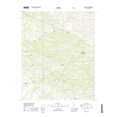
2018 Map of Zaca Lake
USGS Topo · Published 2018About this map
Zaca Lake sits at the heart of this high-elevation landscape within the Los Padres National Forest. The area is defined by its deep drainage networks and prominent peaks, including Zaca Peak and Lookout Mtn. Water sources are vital features in this arid mountain environment, with Hunter Spring, Tunnel Spring, and Sulphur Spring providing rare relief in the high canyons. The northern reaches are dominated by the Sisquoc River, which carved a significant valley through the Sierra Madre Mountains and San Rafael Mountains. While much of the terrain is wild and inaccessible, local history is embedded in names like Schoolhouse Canyon and Honeymoon Flat, suggesting early human presence and activity. The southern edge of the survey transitions toward the drainage of Alamo Pintado Cr near Birabent Canyon.
Find a feature on this map
42 named features on this map. Tap any name to fly to it.
Don’t see what you’re looking for? This feature index may not catch every label — zoom into the map to look around manually.
Map Details
Editions of this 2018 Zaca Lake Map
This is the sole edition of this map. No revisions or reprints were ever made.
Other maps of this area

1902 · Santa Ynez
USGS Topo · 1:125,000

1905 · Santa Ynez
USGS Topo · 1:125,000

1905 · Lompoc
USGS Topo · 1:125,000

1941 · San Rafael Mtn.
USGS Topo · 1:62,500

1941 · McPherson Peak
USGS Topo · 1:62,500

1942 · Lompoc
USGS Topo · 1:125,000

1942 · San Rafael Mtn.
USGS Topo · 1:62,500

1942 · Tepusquet Peak
USGS Topo · 1:62,500

1942 · Los Olivos
USGS Topo · 1:62,500

1943 · San Rafael Mtn.
USGS Topo · 1:62,500