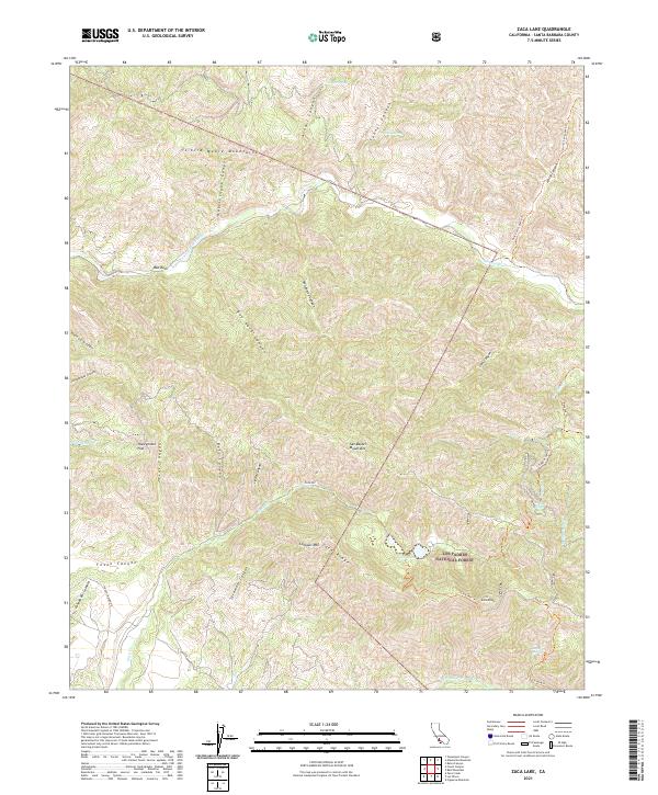
2021 Map of Zaca Lake
USGS Topo · Published 2021About this map
Zaca Lake sits at the heart of this mountainous landscape within the Los Padres National Forest, marking a rare natural lake in the California Transverse Ranges. The terrain is defined by the meeting of the Sierra Madre Mountains to the north and the San Rafael Mountains to the south, carved by deep drainages like Sycamore Canyon and Bee Rock Canyon. This 2021 survey reveals a complex network of backcountry access points, including the Zaca Rd and Foxen Canyon Rd, alongside numerous wilderness trails such as the Manzana Trl and Sulphur Spring Trl. Notable landmarks like Bee Rock and Lookout Mtn serve as distinct visual anchors for navigators. To the northeast, the Sisquoc Wild and Scenic River corridor emphasizes the protected status of this watershed, while locations like Honeymoon Flat suggest long-established recreational use in the high country.
Find a feature on this map
50 named features on this map. Tap any name to fly to it.
Don’t see what you’re looking for? This feature index may not catch every label — zoom into the map to look around manually.
Map Details
Editions of this 2021 Zaca Lake Map
This is the sole edition of this map. No revisions or reprints were ever made.
Other maps of this area

1902 · Santa Ynez
USGS Topo · 1:125,000

1905 · Santa Ynez
USGS Topo · 1:125,000

1905 · Lompoc
USGS Topo · 1:125,000

1941 · San Rafael Mtn.
USGS Topo · 1:62,500

1941 · McPherson Peak
USGS Topo · 1:62,500

1942 · Lompoc
USGS Topo · 1:125,000

1942 · San Rafael Mtn.
USGS Topo · 1:62,500

1942 · Tepusquet Peak
USGS Topo · 1:62,500

1942 · Los Olivos
USGS Topo · 1:62,500

1943 · San Rafael Mtn.
USGS Topo · 1:62,500