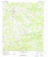
1971 Map of Zebulon
USGS Topo · Published 1991About this map
Zebulon stands as the primary hub of this north-central Georgia landscape, where the Southern railroad line runs north-to-south, anchoring the region's transport network. The map reveals a high concentration of community centers and family landmarks, such as the County High Sch, the Pine Mountain Childrens Home, and numerous rural worship sites like Fincher Ch and Philadelphia Ch.
Find a feature on this map
48 named features on this map. Tap any name to fly to it.
Don’t see what you’re looking for? This feature index may not catch every label — zoom into the map to look around manually.
Map Details
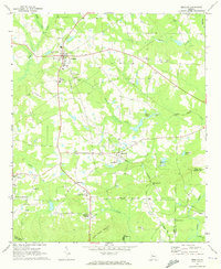
Editions of this 1971 Zebulon Map
2 editions found
Other maps of this area

1935 · Thomaston
USGS Topo · 1:48,000

1939 · Thomaston
USGS Topo · 1:62,500

1951 · Yatesville
USGS Topo · 1:62,500

1951 · Barnesville
USGS Topo · 1:62,500

1953 · Atlanta
USGS Topo · 1:250,000

1955 · Phenix City
USGS Topo · 1:250,000

1957 · Phenix City
USGS Topo · 1:250,000

1957 · Atlanta
USGS Topo · 1:250,000

1958 · Phenix City
USGS Topo · 1:250,000

1958 · Atlanta
USGS Topo · 1:250,000