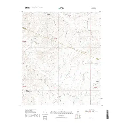
2018 Map of Zeiglerville
USGS Topo · Published 2018About this map
Tesheva Cr and Harland Cr flow through this section of the Mississippi hill country, where the landscape is defined by the winding border between Holmes and Yazoo counties. The area is dotted with small rural settlements and crossroads, including Coxburg, Zeiglerville, and Midway. A strong tradition of local burial sites and family plots is evident through the naming of Coxburg Cem, Brantley Cem, and Tolar Cem.
Find a feature on this map
64 named features on this map. Tap any name to fly to it.
Don’t see what you’re looking for? This feature index may not catch every label — zoom into the map to look around manually.
Map Details
Editions of this 2018 Zeiglerville Map
This is the sole edition of this map. No revisions or reprints were ever made.
Other maps of this area

1940 · Lexington
USGS Topo · 1:62,500

1940 · Mileston
USGS Topo · 1:62,500

1953 · Greenwood
USGS Topo · 1:250,000

1954 · Mileston
USGS Topo · 1:62,500

1955 · Jackson
USGS Topo · 1:250,000

1956 · Greenwood
USGS Topo · 1:250,000

1957 · Lexington
USGS Topo · 1:62,500

1958 · Lexington
USGS Topo · 1:62,500

1961 · Jackson
USGS Topo · 1:250,000

1961 · Valley
USGS Topo · 1:62,500