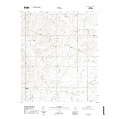
2020 Map of Zeiglerville
USGS Topo · Published 2020About this map
Holmes and Yazoo counties meet along a diagonal boundary in this Mississippi landscape, where a network of rural roads connects several small settlements. The community of Zeiglerville sits at a central crossroads, while Coxburg occupies the northern reaches and Midway is situated to the south. This area is characterized by numerous small family and community burial grounds, such as Brantley Cem and Tolar Cem, which are scattered throughout the hills.
Find a feature on this map
53 named features on this map. Tap any name to fly to it.
Don’t see what you’re looking for? This feature index may not catch every label — zoom into the map to look around manually.
Map Details
Editions of this 2020 Zeiglerville Map
This is the sole edition of this map. No revisions or reprints were ever made.
Other maps of this area

1940 · Lexington
USGS Topo · 1:62,500

1940 · Mileston
USGS Topo · 1:62,500

1953 · Greenwood
USGS Topo · 1:250,000

1954 · Mileston
USGS Topo · 1:62,500

1955 · Jackson
USGS Topo · 1:250,000

1956 · Greenwood
USGS Topo · 1:250,000

1957 · Lexington
USGS Topo · 1:62,500

1958 · Lexington
USGS Topo · 1:62,500

1961 · Jackson
USGS Topo · 1:250,000

1961 · Valley
USGS Topo · 1:62,500