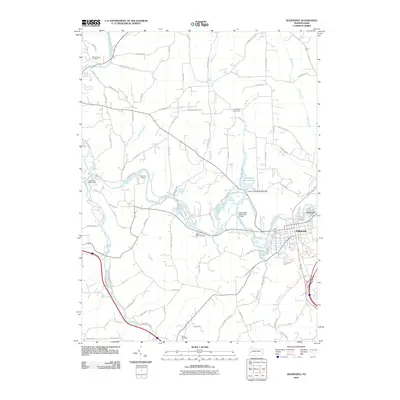
2010 Map of Zelienople
USGS Topo · Published 2010About this map
Connoquenessing Creek defines the local geography of Butler County as it winds past the established settlements of Zelienople and Harmony. This 2010 survey illustrates a landscape where recreational and residential development intersects with traditional rural spaces. Several youth retreats, including Camp Kon-O-Kwee, Camp Carondowanna, and Pine Valley Bible Camp, are situated along the watercourses and wooded hills, highlighting the area's long-standing role as a regional center for summer camps.
Find a feature on this map
75 named features on this map. Tap any name to fly to it.
Don’t see what you’re looking for? This feature index may not catch every label — zoom into the map to look around manually.
Map Details
Editions of this 2010 Zelienople Map
This is the sole edition of this map. No revisions or reprints were ever made.
Other maps of this area

1901 · Beaver
USGS Topo · 1:62,500

1902 · New Castle
USGS Topo · 1:62,500

1904 · Newcastle
USGS Topo · 1:62,500

1904 · Beaver
USGS Topo · 1:62,500

1906 · Sewickley
USGS Topo · 1:62,500

1908 · Sewickley
USGS Topo · 1:62,500

1908 · Zelienople
USGS Topo · 1:62,500

1910 · Zelienople
USGS Topo · 1:62,500

1951 · Canton
USGS Topo · 1:250,000

1953 · Canton
USGS Topo · 1:250,000
Featured Places
- Zelienople, PA
- Harmony, PA
- Wayne Township, PA
- Hazen, North Sewickley Township
- Old Furnace, Marion Township