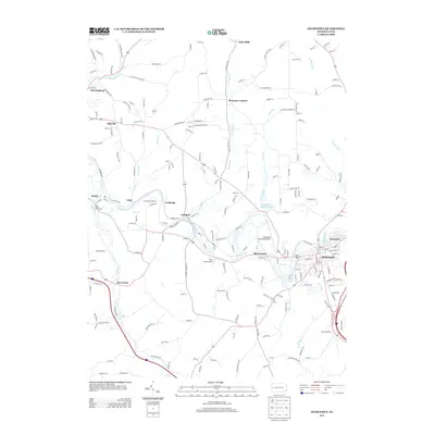
2013 Map of Zelienople
USGS Topo · Published 2013About this map
Zelienople and Harmony anchor the eastern landscape of this Butler County survey, where the Connoquenessing Cr winds past long-established settlements. The terrain is defined by a series of narrow valleys and ridges, with watercourses like Slippery Rock Cr and Camp Run carving through the countryside. Several recreational sites are prominent, including Camp Kon-O-Kwee and Camp Carondowanna, alongside the Pine Valley Bible Camp. Local transport and industry are evident through the Zelienople Municipal Airport and the historic location of Old Furnace. Smaller crossroads and hamlets such as Fombell, Barrisville, and Pyles Mills reveal the distributed nature of this rural and suburbanizing area in the early 21st century. The map also captures several local landmarks like Hereford Manor Lake and the network of township roads connecting scattered homes and farmsteads.
Find a feature on this map
190 named features on this map. Tap any name to fly to it.
Don’t see what you’re looking for? This feature index may not catch every label — zoom into the map to look around manually.
Map Details
Editions of this 2013 Zelienople Map
This is the sole edition of this map. No revisions or reprints were ever made.
Other maps of this area

1901 · Beaver
USGS Topo · 1:62,500

1902 · New Castle
USGS Topo · 1:62,500

1904 · Newcastle
USGS Topo · 1:62,500

1904 · Beaver
USGS Topo · 1:62,500

1906 · Sewickley
USGS Topo · 1:62,500

1908 · Sewickley
USGS Topo · 1:62,500

1908 · Zelienople
USGS Topo · 1:62,500

1910 · Zelienople
USGS Topo · 1:62,500

1951 · Canton
USGS Topo · 1:250,000

1953 · Canton
USGS Topo · 1:250,000
Featured Places
- Zelienople, PA
- Harmony, PA
- Wayne Township, PA
- Hazen, North Sewickley Township
- Old Furnace, Marion Township