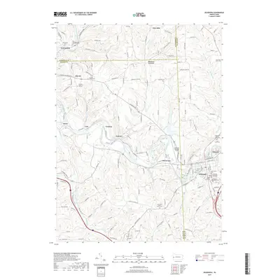
2019 Map of Zelienople
USGS Topo · Published 2019About this map
Connoquenessing Creek and its many tributaries, including Camp Run, Doe Run, and Scholars Run, define the winding valley topography of this portion of Butler, Beaver, and Lawrence Counties. The borough of Zelienople serves as a central hub, flanked by the adjacent settlement of Harmony and the industrial history suggested by Old Furnace. Further north, smaller communities like Fombell, Goehring, and Celia are scattered along the rail and road corridors that follow the creek's path.
Find a feature on this map
125 named features on this map. Tap any name to fly to it.
Don’t see what you’re looking for? This feature index may not catch every label — zoom into the map to look around manually.
Map Details
Editions of this 2019 Zelienople Map
This is the sole edition of this map. No revisions or reprints were ever made.
Other maps of this area

1901 · Beaver
USGS Topo · 1:62,500

1902 · New Castle
USGS Topo · 1:62,500

1904 · Newcastle
USGS Topo · 1:62,500

1904 · Beaver
USGS Topo · 1:62,500

1906 · Sewickley
USGS Topo · 1:62,500

1908 · Sewickley
USGS Topo · 1:62,500

1908 · Zelienople
USGS Topo · 1:62,500

1910 · Zelienople
USGS Topo · 1:62,500

1951 · Canton
USGS Topo · 1:250,000

1953 · Canton
USGS Topo · 1:250,000
Featured Places
- Zelienople, PA
- Harmony, PA
- Wayne Township, PA
- Hazen, North Sewickley Township
- Old Furnace, Marion Township