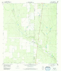
1968 Map of Zella
USGS Topo · Published 1985About this map
Esperanza Creek and its many tributaries, including Rawhide Creek and Maguey Creek, dominate the South Texas brush country depicted in this 1968 survey. The small settlement of Zella sits near the center of the sheet, serving as a focal point in a landscape defined by ranching and resource extraction. The presence of Esperanza Ranch and several scattered water wells indicates the reliance on groundwater for livestock in this semi-arid region.
Find a feature on this map
11 named features on this map. Tap any name to fly to it.
Don’t see what you’re looking for? This feature index may not catch every label — zoom into the map to look around manually.
Map Details
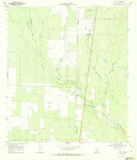
Editions of this 1968 Zella Map
2 editions found
Other maps of this area

1930 · Tilden
USGS Topo · 1:62,500

1942 · Fowlerton
USGS Topo · 1:62,500

1942 · Tilden
USGS Topo · 1:62,500

1953 · Crystal City
USGS Topo · 1:250,000

1955 · Crystal City
USGS Topo · 1:250,000

1956 · Hindes
USGS Topo · 1:62,500

1956 · Franklin Settlement
USGS Topo · 1:62,500

1956 · Fowlerton
USGS Topo · 1:62,500

1961 · Crystal City
USGS Topo · 1:250,000

1968 · Crystal City
USGS Topo · 1:250,000