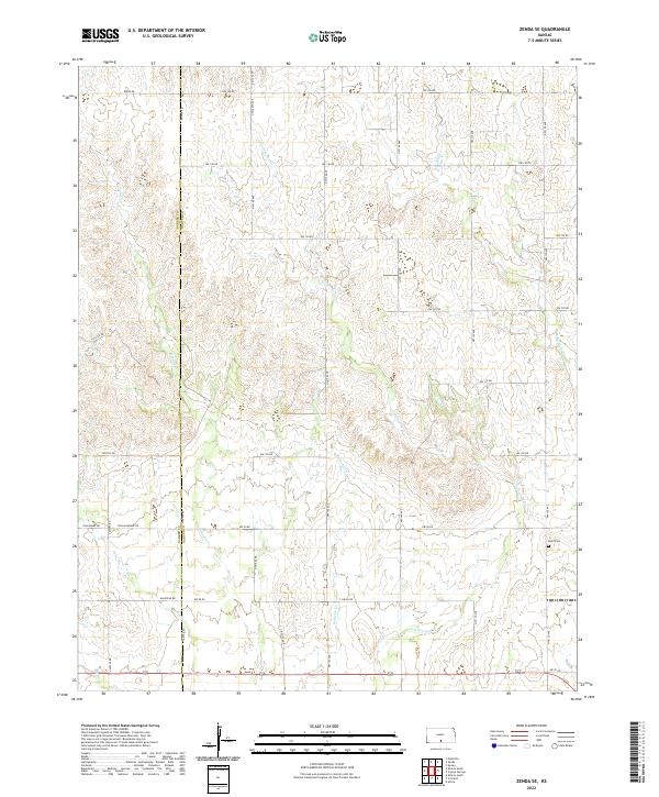
2022 Map of Zenda SE
USGS Topo · Published 2022About this map
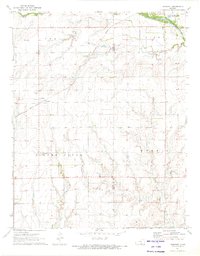
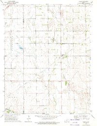
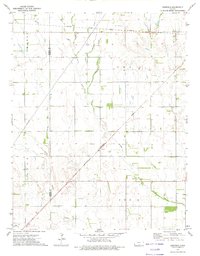
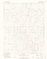
The rolling agricultural landscape of south-central Kansas is defined here by the headwaters and drainage networks of several prominent creeks. The boundary between Barber Co and Harper Co bisects the terrain, illustrating the persistent grid of section lines and rural roads that have organized this prairie region since the late 19th century. Notable watercourses include Cottonwood Cr, which winds through the central portion of the map, and W Sandy Cr to the west. For those researching local genealogy, the Baird Cem sits in the eastern portion of the sheet, serving as a solitary monument to the early families who settled this area. The road network, including routes like Thistle Rd and Blackmare Rd, follows the traditional township and range system, connecting remote homesteads and ranching lands.
Find a feature on this map
26 named features on this map. Tap any name to fly to it.
Don’t see what you’re looking for? This feature index may not catch every label — zoom into the map to look around manually.
Map Details
Editions of this 2022 Zenda SE Map
This is the sole edition of this map. No revisions or reprints were ever made.
Historical Maps of Harper County Through Time
18 maps found
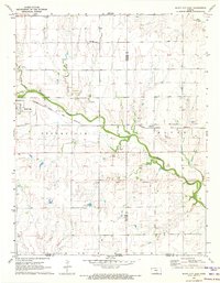
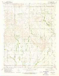
1971 Bluff City East
Harper County, KS
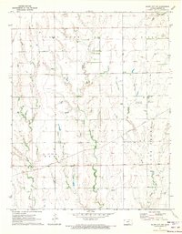
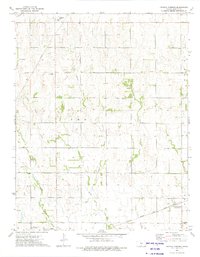
1971 Bluff City NW
Harper County, KS
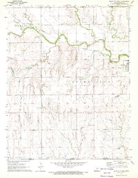
1971 Bluff City West
Harper County, KS
1971 Freeport
Harper County, KS
1972 Corwin
Harper County, KS
1972 Crisfield
Harper County, KS
1972 Spring
Harper County, KS
1973 Crystal Springs
Harper County, KS
1973 Zenda SE
Harper County, KS
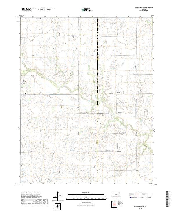
2022 Bluff City East
Harper County, KS
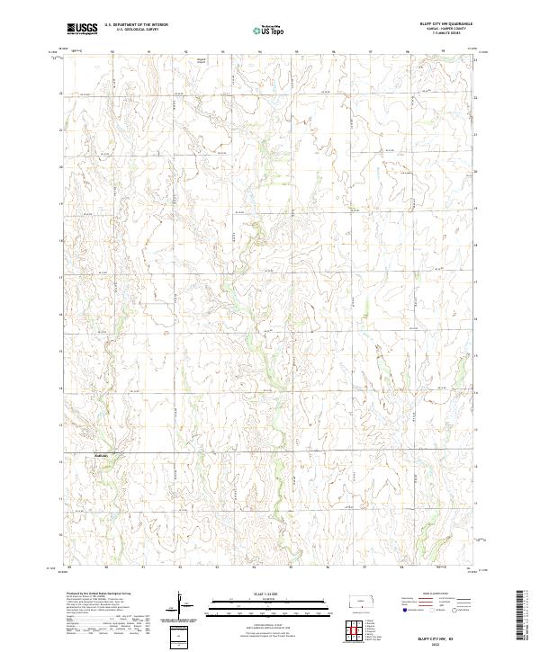
2022 Bluff City NW
Harper County, KS
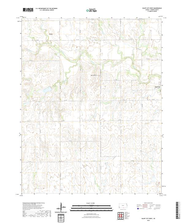
2022 Bluff City West
Harper County, KS
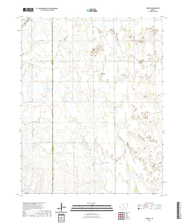
2022 Corwin
Harper County, KS
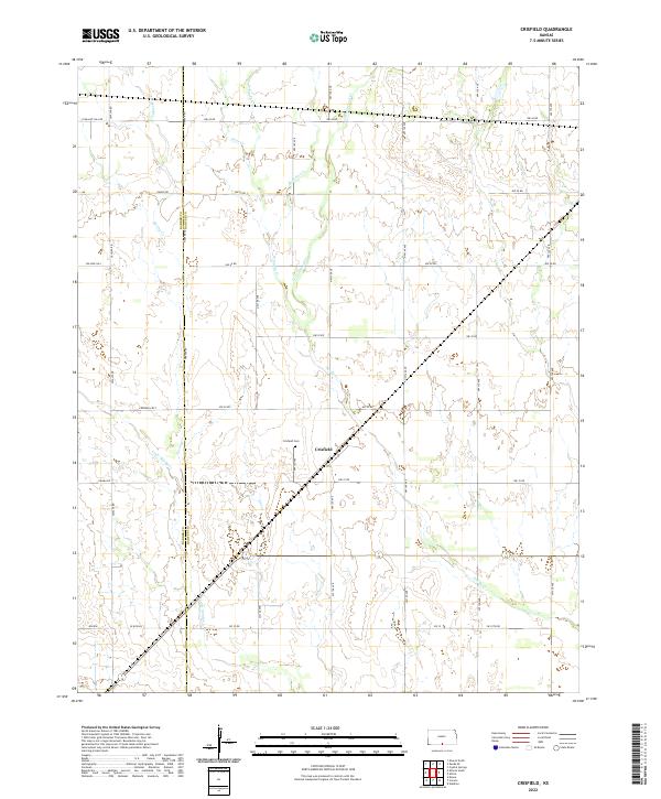
2022 Crisfield
Harper County, KS
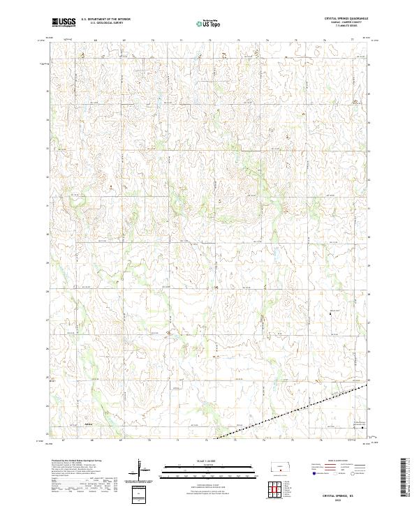
2022 Crystal Springs
Harper County, KS
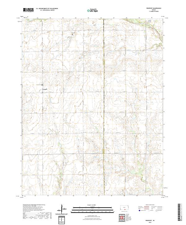
2022 Freeport
Harper County, KS
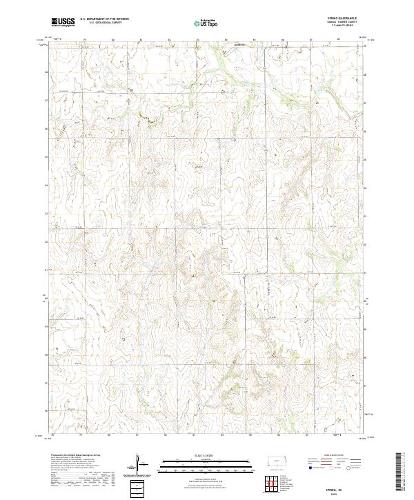
2022 Spring
Harper County, KS
2022 Zenda SE
Harper County, KS