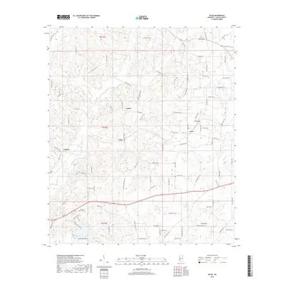
2018 Map of Zetus
USGS Topo · Published 2018About this map
Vaughn and Zetus anchor this rural Lincoln County landscape, characterized by a dense network of named creeks and family-named roads that suggest long-standing agricultural and timber interests. The terrain is deeply dissected by drainages such as McCall Creek, Hurricane Cr, and Beaver Cr, which feed into local landmarks like Hurricane Lake in the southern portion of the sheet.
Find a feature on this map
104 named features on this map. Tap any name to fly to it.
Don’t see what you’re looking for? This feature index may not catch every label — zoom into the map to look around manually.
Map Details
Editions of this 2018 Zetus Map
This is the sole edition of this map. No revisions or reprints were ever made.
Other maps of this area

1953 · Natchez
USGS Topo · 1:250,000

1956 · Natchez
USGS Topo · 1:250,000

1959 · Natchez
USGS Topo · 1:250,000

1972 · West Lincoln
USGS Topo · 1:24,000

1972 · Midway
USGS Topo · 1:24,000

1972 · McCall Creek
USGS Topo · 1:24,000

1972 · Little Springs
USGS Topo · 1:24,000

1972 · Caseyville
USGS Topo · 1:24,000

1972 · Bogue Chitto
USGS Topo · 1:24,000

1972 · Brookhaven
USGS Topo · 1:24,000