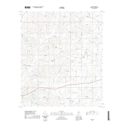
2020 Map of Zetus
USGS Topo · Published 2020About this map
The small communities of Vaughn, Cobbs, and Zetus define the rural character of Lincoln County as documented in this 2020 record. The landscape is defined by its watershed, where McCall Creek and Hurricane Cr flow through the wooded terrain of southwestern Mississippi. Local landmarks such as the Pleasant Grove Cem and Hurricane Lake serve as key points of reference for those tracing family history in the area. The map illustrates a dense network of local roads and trails, including Zetus Rd NW and Jackson Liberty Dr NW, which connect these dispersed settlements. This modern survey provides an exact layout of the property lines and topography surrounding these long-standing rural junctions before further contemporary development changes the traditional layout of the townships.
Find a feature on this map
100 named features on this map. Tap any name to fly to it.
Don’t see what you’re looking for? This feature index may not catch every label — zoom into the map to look around manually.
Map Details
Editions of this 2020 Zetus Map
This is the sole edition of this map. No revisions or reprints were ever made.
Other maps of this area

1953 · Natchez
USGS Topo · 1:250,000

1956 · Natchez
USGS Topo · 1:250,000

1959 · Natchez
USGS Topo · 1:250,000

1972 · West Lincoln
USGS Topo · 1:24,000

1972 · Midway
USGS Topo · 1:24,000

1972 · McCall Creek
USGS Topo · 1:24,000

1972 · Little Springs
USGS Topo · 1:24,000

1972 · Caseyville
USGS Topo · 1:24,000

1972 · Bogue Chitto
USGS Topo · 1:24,000

1972 · Brookhaven
USGS Topo · 1:24,000