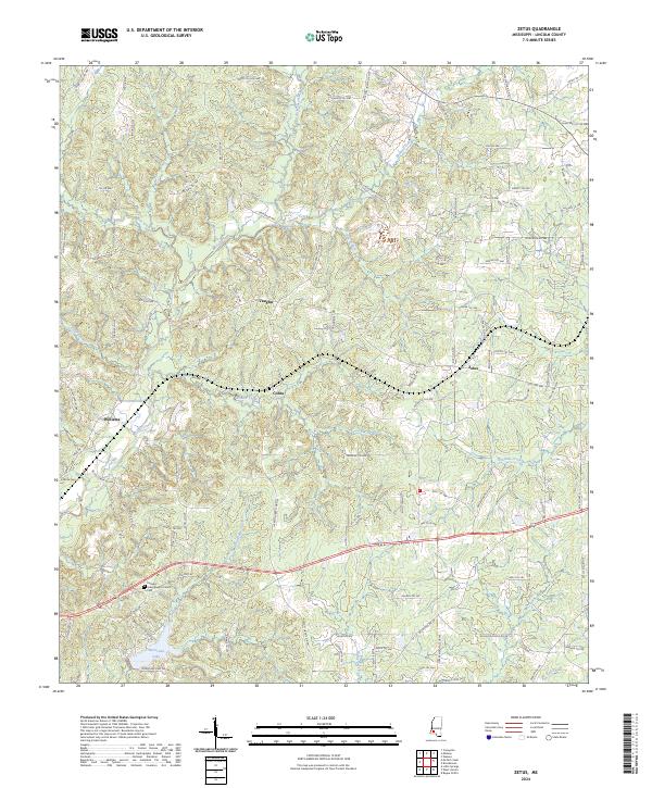
2024 Map of Zetus
USGS Topo · Published 2024About this map
Pleasant Grove Baptist Church and its adjacent Pleasant Grove Baptist Church Cem anchor the southern landscape of Lincoln County, south of the rural communities of Vaughn and Cobbs. This portion of Mississippi is defined by a dense network of watercourses, where McCall Creek and Shaws Creek wind through the township boundaries of T7N and T8N. The road network reflects a history of local family names and land use, with routes like Dunn Ratcliff Rd NW and Bennie Trl NW connecting the scattered settlements.
Find a feature on this map
105 named features on this map. Tap any name to fly to it.
Don’t see what you’re looking for? This feature index may not catch every label — zoom into the map to look around manually.
Map Details
Editions of this 2024 Zetus Map
This is the sole edition of this map. No revisions or reprints were ever made.
Other maps of this area

1953 · Natchez
USGS Topo · 1:250,000

1956 · Natchez
USGS Topo · 1:250,000

1959 · Natchez
USGS Topo · 1:250,000

1972 · West Lincoln
USGS Topo · 1:24,000

1972 · Midway
USGS Topo · 1:24,000

1972 · McCall Creek
USGS Topo · 1:24,000

1972 · Little Springs
USGS Topo · 1:24,000

1972 · Caseyville
USGS Topo · 1:24,000

1972 · Bogue Chitto
USGS Topo · 1:24,000

1972 · Brookhaven
USGS Topo · 1:24,000