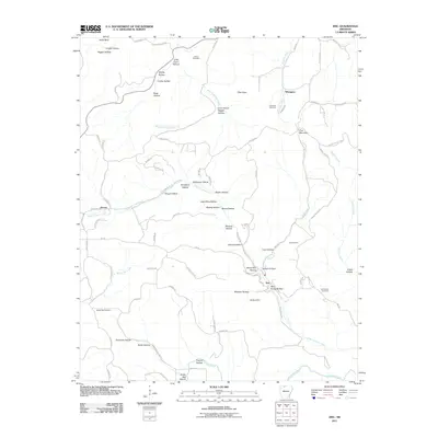
2011 Map of Zinc
USGS Topo · Published 2011About this map
Zinc and the surrounding Ozark landscape define this 2011 survey of Boone County. The area’s historical mining industry is clearly visible through sites like the Madison Mine near Madison Hollow and the Jackpot Mine further east. These labels offer a concrete link to the extraction history of the region, where numerous hollows and knobs provided the complex topography for local development.
Find a feature on this map
95 named features on this map. Tap any name to fly to it.
Don’t see what you’re looking for? This feature index may not catch every label — zoom into the map to look around manually.
Map Details
Editions of this 2011 Zinc Map
This is the sole edition of this map. No revisions or reprints were ever made.
Other maps of this area

1893 · Yellville
USGS Topo · 1:125,000

1903 · Yellville
USGS Topo · 1:125,000

1904 · Harrison
USGS Topo · 1:125,000

1905 · Harrison
USGS Topo · 1:125,000

1905 · Yellville
USGS Topo · 1:125,000

1929 · Yellville
USGS Topo · 1:125,000

1945 · Harrison
USGS Topo · 1:250,000

1949 · Harrison
USGS Topo · 1:250,000

1954 · Harrison
USGS Topo · 1:250,000

1958 · Harrison
USGS Topo · 1:250,000