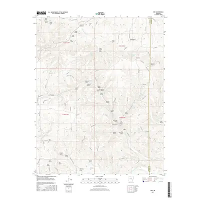
2017 Map of Zinc
USGS Topo · Published 2017About this map
Zinc sits at the heart of this landscape along the Boone Co and Marion Co border, where a complex network of springs and hollows defines the terrain. The naming conventions of the region, such as Lead Mine Hollow and Stillhouse Hollow, speak to the historical resource extraction and local homesteading practices of the Ozark plateau. Water sources are abundant, from the Elixir Springs in the north to Crooked Creek in the south, which historically dictated the placement of settlements like Keener and Winington.
Find a feature on this map
112 named features on this map. Tap any name to fly to it.
Don’t see what you’re looking for? This feature index may not catch every label — zoom into the map to look around manually.
Map Details
Editions of this 2017 Zinc Map
This is the sole edition of this map. No revisions or reprints were ever made.
Other maps of this area

1893 · Yellville
USGS Topo · 1:125,000

1903 · Yellville
USGS Topo · 1:125,000

1904 · Harrison
USGS Topo · 1:125,000

1905 · Harrison
USGS Topo · 1:125,000

1905 · Yellville
USGS Topo · 1:125,000

1929 · Yellville
USGS Topo · 1:125,000

1945 · Harrison
USGS Topo · 1:250,000

1949 · Harrison
USGS Topo · 1:250,000

1954 · Harrison
USGS Topo · 1:250,000

1958 · Harrison
USGS Topo · 1:250,000