2024 Map of Zinc
USGS Topo · Published 2024About this map
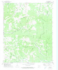
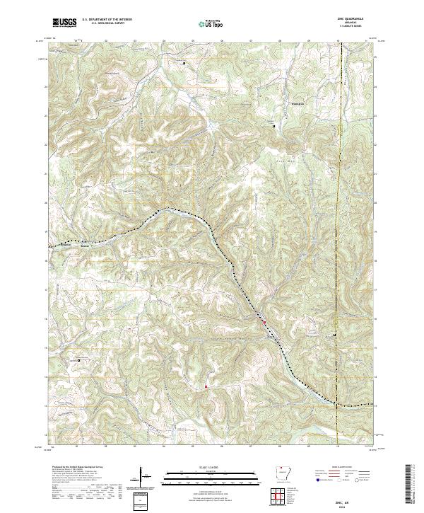
Sugar Orchard Creek and its many winding tributaries carve through the heart of this Boone County landscape, defining the rural character of the settlements at Zinc and Bergman. The terrain is marked by a complex network of hollows, including the suggestively named Lead Mine Hollow and Mineral Hollow, which point to the region's mineral extraction history. Near the town of Zinc, local history is preserved at the Richardson Cem, while the northern portion of the quadrangle features the heights of Pilot Knob and the small community of Winington.
Find a feature on this map
115 named features on this map. Tap any name to fly to it.
Don’t see what you’re looking for? This feature index may not catch every label — zoom into the map to look around manually.
Map Details
Editions of this 2024 Zinc Map
This is the sole edition of this map. No revisions or reprints were ever made.