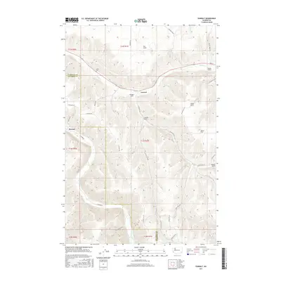
2017 Map of Zumwalt
USGS Topo · Published 2017About this map
Pataha Cr and the Tucannon River define this corner of Washington, where the landscape is marked by a deep network of gulches and valleys. The settlement of Zumwalt and the nearby Owsley Cem offer localized points for genealogical research in this rural portion of Garfield and Columbia counties. The terrain is structured by prominent features such as Dutch Flat and Geiger Gulch, reflecting the high-relief geography of the region.
Find a feature on this map
34 named features on this map. Tap any name to fly to it.
Don’t see what you’re looking for? This feature index may not catch every label — zoom into the map to look around manually.
Map Details
Editions of this 2017 Zumwalt Map
This is the sole edition of this map. No revisions or reprints were ever made.
Other maps of this area

1937 · Pomeroy
USGS Topo · 1:96,000

1942 · Pomeroy
USGS Topo · 1:125,000

1950 · Penawawa
USGS Topo · 1:62,500

1950 · Hay
USGS Topo · 1:62,500

1952 · Hay
USGS Topo · 1:62,500

1955 · Pullman
USGS Topo · 1:250,000

1958 · Pullman
USGS Topo · 1:250,000

1967 · Rose Springs
USGS Topo · 1:24,000

1967 · Hopkins Ridge
USGS Topo · 1:24,000

1967 · Cahill Mtn
USGS Topo · 1:24,000