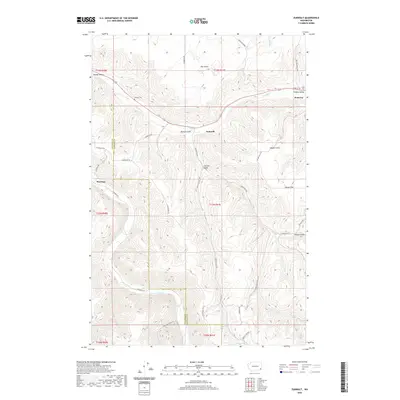
2020 Map of Zumwalt
USGS Topo · Published 2020About this map
The Pataha Valley and surrounding plateaus define the landscape of Garfield and Columbia Counties, centered on the historic town of Pomeroy. Settlement patterns follow the winding path of Pataha Cr, where the community of Zumwalt and the IOOF Cem sit at the edge of the valley floor. The map documents a classic agricultural layout of the Inland Northwest, with named gulches like Linville Gulch and Geiger Gulch carving through the high country. In the southwestern reaches, the Tucannon River flows past Marengo, illustrating the vital connection between these watercourses and the development of local roads like Tucannon Rd. Genealogists may find value in the specific locations of rural burials at Owsley Cem, while the road network, including the Vannaton Grade, shows how the region’s topography dictated the routes of travel between valley settlements and the high agricultural ground at Dutch Flat.
Find a feature on this map
32 named features on this map. Tap any name to fly to it.
Don’t see what you’re looking for? This feature index may not catch every label — zoom into the map to look around manually.
Map Details
Editions of this 2020 Zumwalt Map
This is the sole edition of this map. No revisions or reprints were ever made.
Other maps of this area

1937 · Pomeroy
USGS Topo · 1:96,000

1942 · Pomeroy
USGS Topo · 1:125,000

1950 · Penawawa
USGS Topo · 1:62,500

1950 · Hay
USGS Topo · 1:62,500

1952 · Hay
USGS Topo · 1:62,500

1955 · Pullman
USGS Topo · 1:250,000

1958 · Pullman
USGS Topo · 1:250,000

1967 · Rose Springs
USGS Topo · 1:24,000

1967 · Hopkins Ridge
USGS Topo · 1:24,000

1967 · Cahill Mtn
USGS Topo · 1:24,000