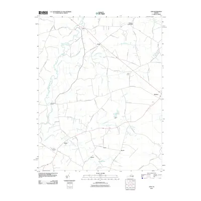
2010 Map of Zuni
USGS Topo · Published 2010About this map
The Blackwater River and its extensive network of swamps define this portion of the Virginia coastal plain at the turn of the 21st century. The map centers on the small community of Zuni, where the river is crossed by the Blackwater Bridge, and extends southeast toward the larger settlement of Windsor. This area is characterized by low-lying wetlands, including Burnt Mills Swamp, Antioch Swamp, and Ducks Swamp, which historically dictated the placement of roads and small agrarian hamlets.
Find a feature on this map
71 named features on this map. Tap any name to fly to it.
Don’t see what you’re looking for? This feature index may not catch every label — zoom into the map to look around manually.
Map Details
Editions of this 2010 Zuni Map
This is the sole edition of this map. No revisions or reprints were ever made.
Other maps of this area

1919 · Smithfield
USGS Topo · 1:62,500

1919 · Suffolk
USGS Topo · 1:62,500

1920 · Holland
USGS Topo · 1:62,500

1920 · Ivor
USGS Topo · 1:62,500

1943 · Holland
USGS Topo · 1:62,500

1944 · Windsor
USGS Topo · 1:31,680

1944 · Ivor
USGS Topo · 1:24,000

1944 · Smithfield
USGS Topo · 1:24,000

1944 · Sedley
USGS Topo · 1:24,000

1944 · Raynor
USGS Topo · 1:24,000