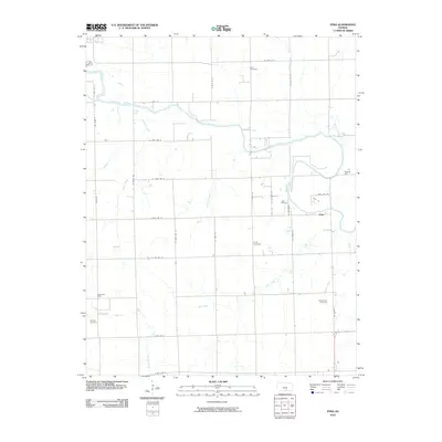
2010 Map of Zyba
USGS Topo · Published 2010About this map
Ninnescah River meanders across this rural section of south-central Kansas, defining the hydrologic character of a landscape marked by small agricultural settlements and energy extraction. The small community of Zyba serves as a central point in a grid of section roads, including N Zyba Rd and Finney Rd. The map reveals a history of local industry through the presence of the Zyba Oil Field, Peck Oil Field, and Anson Oil Field, indicating the subsurface resources that have long supported the regional economy. Several local burial grounds, such as Noel Cemetery, Porter Cemetery, Worden Cemetery, and Greencastle Cemetery, are scattered throughout the quadrangle, providing critical touchpoints for genealogical research and documenting the early settlement patterns of the township. The drainage network is dense, with Elm Creek and Spring Creek cutting through the prairie toward the larger river valley.
Find a feature on this map
39 named features on this map. Tap any name to fly to it.
Don’t see what you’re looking for? This feature index may not catch every label — zoom into the map to look around manually.
Map Details
Editions of this 2010 Zyba Map
This is the sole edition of this map. No revisions or reprints were ever made.
Other maps of this area

1889 · Cheney
USGS Topo · 1:125,000

1889 · Wichita
USGS Topo · 1:125,000

1889 · Caldwell
USGS Topo · 1:125,000

1890 · Wellington
USGS Topo · 1:125,000

1891 · Cheney
USGS Topo · 1:125,000

1893 · Caldwell
USGS Topo · 1:125,000

1894 · Wichita
USGS Topo · 1:125,000

1897 · Caldwell
USGS Topo · 1:125,000

1901 · Cheney
USGS Topo · 1:125,000

1943 · Derby
USGS Topo · 1:31,680