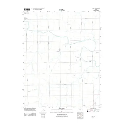
2012 Map of Zyba
USGS Topo · Published 2012About this map
The Ninnescah River meanders across this rural Kansas landscape south of Clearwater, defining the agricultural and industrial character of the region. The small community of Zyba serves as a central point in a territory marked by extensive energy extraction, with several active production areas including the Zyba Oil Field, Peck Oil Field, and Anson Oil Field scattered across the township. This landscape is organized by a precise grid of county roads such as N Maize Rd and N Tyler Rd, which connect isolated farmsteads and rural infrastructure.
Find a feature on this map
48 named features on this map. Tap any name to fly to it.
Don’t see what you’re looking for? This feature index may not catch every label — zoom into the map to look around manually.
Map Details
Editions of this 2012 Zyba Map
This is the sole edition of this map. No revisions or reprints were ever made.
Other maps of this area

1889 · Cheney
USGS Topo · 1:125,000

1889 · Wichita
USGS Topo · 1:125,000

1889 · Caldwell
USGS Topo · 1:125,000

1890 · Wellington
USGS Topo · 1:125,000

1891 · Cheney
USGS Topo · 1:125,000

1893 · Caldwell
USGS Topo · 1:125,000

1894 · Wichita
USGS Topo · 1:125,000

1897 · Caldwell
USGS Topo · 1:125,000

1901 · Cheney
USGS Topo · 1:125,000

1943 · Derby
USGS Topo · 1:31,680