Old Maps of Coffeeville, Alabama for Genealogy
Trace your family roots with 16 historic maps of Coffeeville. These high-res maps reveal old neighborhoods, homesites, landmarks, and streets — helping you uncover where your ancestors lived and how the area evolved over time.
- Explore historic neighborhoods: Identify where your relatives may have lived in the 1800s or 1900s.
- Compare maps over time: Trace the changes in streets, buildings, and landmarks for multi-generational research.
- Perfect for genealogy & ancestry research: Used by family historians and researchers to map out lineage and migration.
These maps are an incredible resource for exploring your personal connection to Coffeeville's past.
Coffeeville, AL maps
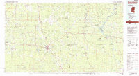
(16)- 1953 Map of Hattiesburg, 1965 Print
 1953 Hattiesburg1965 Print · USGSSouth Mississippi and western Alabama are shown here during the mid-twentieth century as the timber and rail industries shaped the region. Genealogists and historians can trace rail lines like the Mississippi Central and locate rural centers such as Magee, Richton, and Mount Vernon.4 unique versions available
 - 1958 Map of Hattiesburg
 1958 Hattiesburg1958 Print · USGSSoutheastern Mississippi's timber and rail networks are at their peak during the late fifties, centered on the growing hubs of Hattiesburg and Laurel. Researchers can trace old family landmarks like Sims Chapel, the Busbey Game Refuge, and the vanished stops along the Mississippi Central railroad.2 unique versions available
 - 1971 Map of Coffeeville, 1974 Print
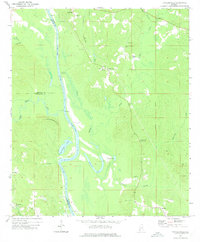
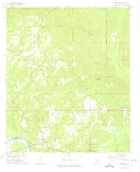 1971 Coffeeville1974 Print · USGSThe Tombigbee River country of Clarke County is shown here in the early 1970s, before modern infrastructure reshaped many rural Alabamian river towns. Researchers can trace family sites near Coffeeville, explore the crossroads at Center Point, and locate landmarks like Jones Chapel and the High Sch.2 unique versions available
 - 1972 Map of Tattlersville, 1975 Print
 1972 Tattlersville1975 Print · USGSThe Tombigbee River corridor in southwestern Alabama was defined by its water-bound commerce and quiet rural crossroads in the early 1970s. Genealogists can trace family names at Blount Landing and rural congregations at New Hope Ch or St Pauls Ch.2 unique versions available
 - 1984 Map of Hattiesburg
 1984 Hattiesburg1984 Print · USGSSouth Mississippi’s Pine Belt is seen here in the mid-eighties, showing the region as a hub of timber production and petroleum extraction. Trace the rail lines of the Illinois Central Gulf RR through old settlements like Richton or the energy developments at the Heidelberg Oil Field.2 unique versions available
 - 1984 Map of Waynesboro
 1984 Waynesboro1984 Print · USGSThe borderlands of Mississippi and Alabama come alive in this mid-eighties survey of timber and river country. Researchers can trace the Illinois Central Gulf Railroad corridor through Waynesboro and Shubuta, or locate remote lookouts like Maynor Creek Lookout.2 unique versions available
 - 2011 Map of Coffeeville, 2011 Print
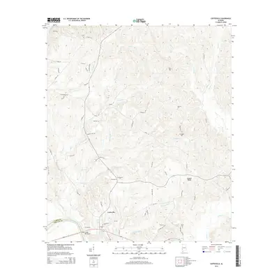
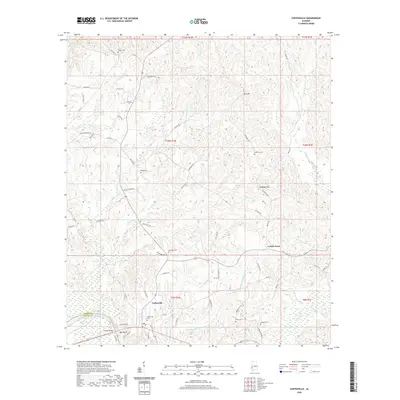
 2011 Coffeeville2011 Print · USGSCovers Coffeeville, including Center Point, Clarke County, and other nearby areas
 - 2011 Map of Tattlersville, 2011 Print
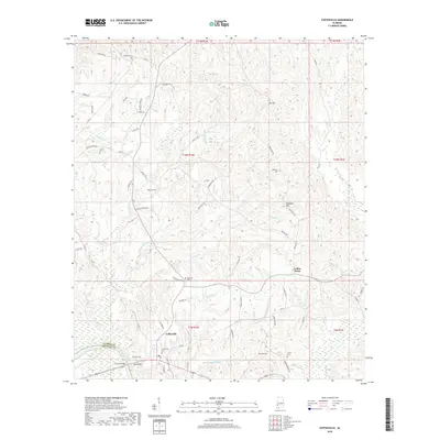
 2011 Tattlersville2011 Print · USGSCovers Coffeeville, including Salitpa, Tattlersville, and other nearby areas
 - 2014 Map of Tattlersville, 2014 Print
 2014 Tattlersville2014 Print · USGSCovers Coffeeville, including Salitpa, Tattlersville, and other nearby areas
 - 2014 Map of Coffeeville, 2014 Print
 2014 Coffeeville2014 Print · USGSCovers Coffeeville, including Center Point, Clarke County, and other nearby areas
 - 2018 Map of Coffeeville, 2018 Print
 2018 Coffeeville2018 Print · USGSCovers Coffeeville, including Center Point, Clarke County, and other nearby areas
 - 2018 Map of Tattlersville, 2018 Print
 2018 Tattlersville2018 Print · USGSCovers Coffeeville, including Salitpa, Tattlersville, and other nearby areas
 - 2020 Map of Coffeeville, 2020 Print
 2020 Coffeeville2020 Print · USGSCovers Coffeeville, including Center Point, Clarke County, and other nearby areas
 - 2020 Map of Tattlersville, 2020 Print
 2020 Tattlersville2020 Print · USGSCovers Coffeeville, including Salitpa, Tattlersville, and other nearby areas
 - 2024 Map of Tattlersville, 2024 Print
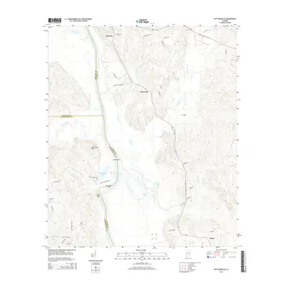
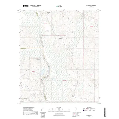
 2024 Tattlersville2024 Print · USGSClarke County's riverfront and hill country are captured here at the start of the 2020s. Researchers can trace family history through sites like Overstreet Cem, locate the settlement of Salitpa, or follow the banks of the Tombigbee River.
 - 2024 Map of Coffeeville, 2024 Print
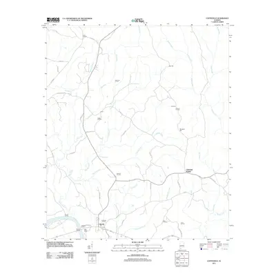
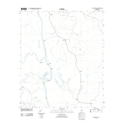
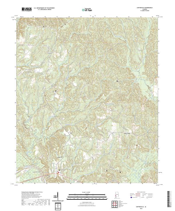 2024 Coffeeville2024 Print · USGSNear the banks of the Tombigbee River in modern-day Alabama, this survey captures the rural layout of Clarke County's riverfront and hill country. Local historians can trace family locations near Coffeeville and the Coffeeville Ferry or locate old burial grounds like Ulcanush Cem and Kiels Cem.
End of results
Showing maps 1-16 of 16
Top cities near Coffeeville
- Jackson historical maps
- Gilbertown historical maps
- Millry historical maps
- Silas historical maps
- Toxey historical maps
Frequently asked questions
- What are the different types of historical maps available for Coffeeville?
- What is the oldest map of Coffeeville?
- Where can I purchase historical maps of Coffeeville for my home or office?
- Where can I download high-res historical maps of Coffeeville?
- Are there historical topographic maps available for Coffeeville?
- Is there historical aerial imagery available for Coffeeville?
- Where are historical maps of Coffeeville sourced from?