2000s (21st Century) Maps of Dallas County, Alabama
Explore 133 historic maps of Dallas County from the 2000s (21st Century). These maps offer a rare glimpse into what life looked like during the 2000s — showing old roads, neighborhoods, homes, and landmarks that have changed or disappeared over time.
Whether you're researching your family's past, planning a metal detecting trip, or studying how Dallas County's landscape evolved across the 2000s, these high-resolution maps are a powerful tool for exploring the history of this region.
- Focus on a specific era: All maps on this page are from the 2000s, giving you a focused view of this time period.
- See what’s changed: Compare century-old streets, trails, and buildings to today's modern landscape using overlays and satellite layers.
- Research with precision: Use these maps for genealogy, historical research, land use analysis, or educational projects.
- View, download, or print: Maps are fully viewable online in high resolution, and can be downloaded or printed for your own records.
Start exploring Dallas County's history through authentic maps from the 2000s. This is your window into the past.
Dallas County, AL maps
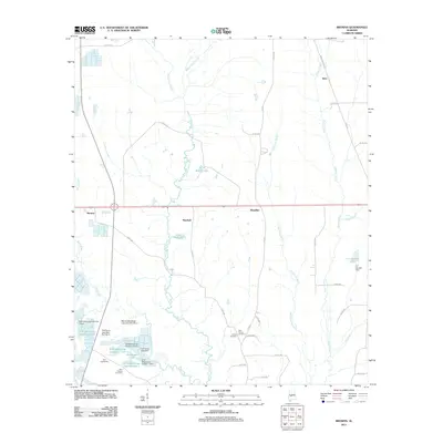
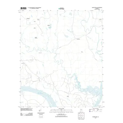
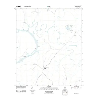
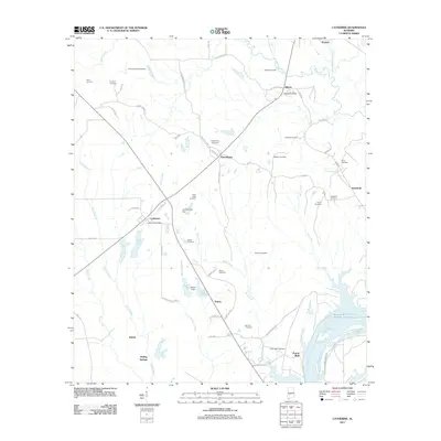
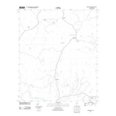
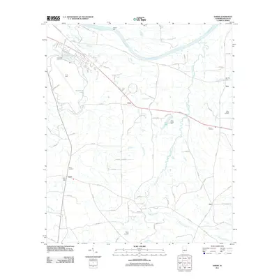
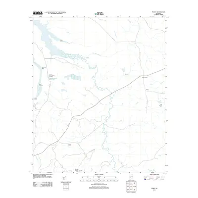
(133)- 2002 Map of Summerfield, 2003 Print
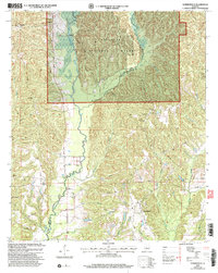 2002 Summerfield2003 Print · USGSDallas and Perry counties at the start of the twenty-first century show a landscape of protected forests and deep-rooted rural communities. Genealogists and local historians can trace family locations near Shiloh Cem, Stonewall, and the historic College Hill Ch.
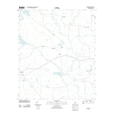
 - 2002 Map of Plantersville, 2003 Print
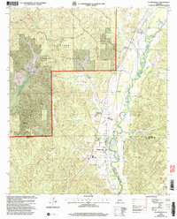 2002 Plantersville2003 Print · USGSThe borderlands of Chilton, Dallas, and Autauga counties come alive in this early 2000s survey of the Talladega National Forest area. Family historians can locate rural landmarks like Plantersville Grove Church and the Harris Cemetery near the banks of Mulberry Creek.
 - 2002 Map of Buck Creek, 2004 Print
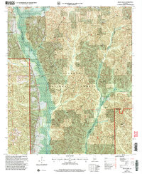 2002 Buck Creek2004 Print · USGSThe central Alabama woodlands near the intersection of Perry, Chilton, and Dallas Counties are shown here just after the millennium. Researchers can trace rural landmarks like Poplar Grove Church, Lovelady Cem, and Mt Zion Hunt Camp.
 - 2011 Map of Buck Creek, 2011 Print
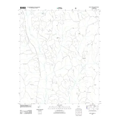 2011 Buck Creek2011 Print · USGSCovers Dallas County, including Panhandle, Chilton County, and other nearby areas
 - 2011 Map of Browns, 2011 Print
 2011 Browns2011 Print · USGSCovers Dallas County, including Nave, Browns, and other nearby areas
 - 2011 Map of Crumptonia, 2011 Print
 2011 Crumptonia2011 Print · USGSCovers Dallas County, including Cobbs Quarters, Crumptonia, and other nearby areas
 - 2011 Map of Elm Bluff, 2011 Print
 2011 Elm Bluff2011 Print · USGSCovers Dallas County, including Elm Bluff, Belknap, and other nearby areas
 - 2011 Map of Blackwell Bend, 2011 Print
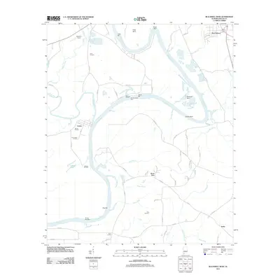 2011 Blackwell Bend2011 Print · USGSCovers Dallas County, including Berlin, Cahaba, and other nearby areas
 - 2011 Map of Catherine, 2011 Print
 2011 Catherine2011 Print · USGSCovers Dallas County, including Boiling Springs, Bethel, and other nearby areas
 - 2011 Map of Camden North, 2011 Print
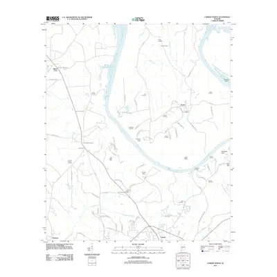 2011 Camden North2011 Print · USGSCovers Dallas County, including Camden, Boykin, and other nearby areas
 - 2011 Map of Central Mills, 2011 Print
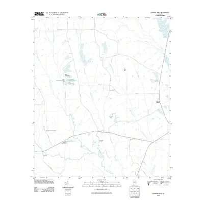 2011 Central Mills2011 Print · USGSCovers Dallas County, including Blalock, Central Mills, and other nearby areas
 - 2011 Map of Tasso, 2011 Print
 2011 Tasso2011 Print · USGSCovers Dallas County, including Ellis, Five Points, and other nearby areas
 - 2011 Map of Carlowville, 2011 Print
 2011 Carlowville2011 Print · USGSCovers Dallas County, including Richmond, Ackerville, and other nearby areas
 - 2011 Map of Summerfield, 2011 Print
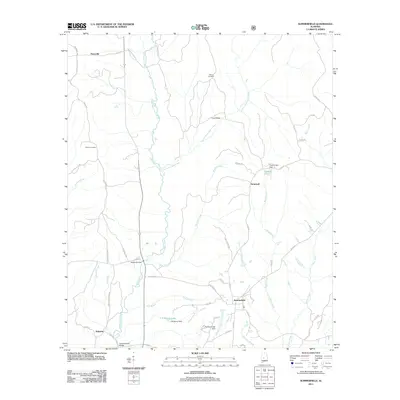 2011 Summerfield2011 Print · USGSCovers Dallas County, including Valley Grande, Augustin, and other nearby areas
 - 2011 Map of Burnsville, 2011 Print
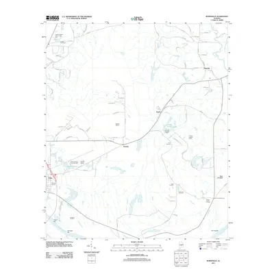 2011 Burnsville2011 Print · USGSCovers Dallas County, including Selma, Valley Grande, and other nearby areas
 - 2011 Map of Pleasant Hill, 2011 Print
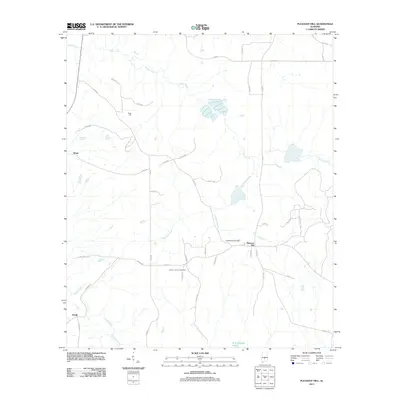 2011 Pleasant Hill2011 Print · USGSCovers Dallas County, including Pleasant Hill, Kings, and other nearby areas
 - 2011 Map of Sardis, 2011 Print
 2011 Sardis2011 Print · USGSCovers Dallas County, including Tyler, Polk, and other nearby areas
 - 2011 Map of Jones, 2011 Print
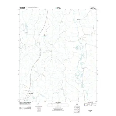 2011 Jones2011 Print · USGSCovers Dallas County, including Valley Grande, Fremont, and other nearby areas
 - 2011 Map of Durant Bend, 2011 Print
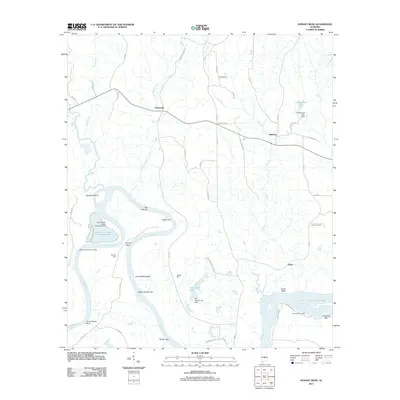 2011 Durant Bend2011 Print · USGSCovers Dallas County, including Statesville, Mulberry, and other nearby areas
 - 2011 Map of Orrville, 2011 Print
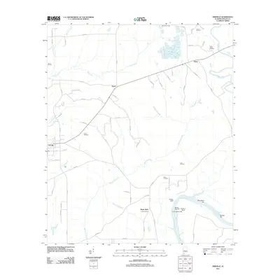 2011 Orrville2011 Print · USGSCovers Dallas County, including Orrville, Whites Bluff, and other nearby areas
 - 2011 Map of Tilden, 2011 Print
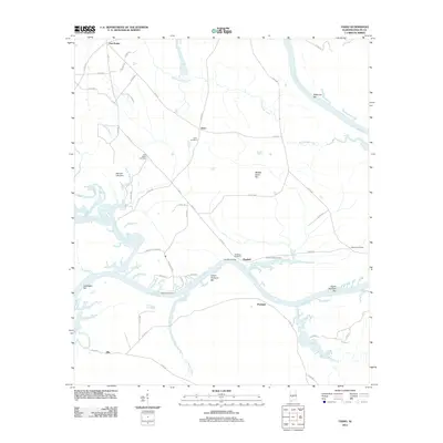
 2011 Tilden2011 Print · USGSCovers Dallas County, including Tilden, Wilcox County, and other nearby areas
 - 2011 Map of Safford, 2011 Print
 2011 Safford2011 Print · USGSCovers Dallas County, including Orrville, Martin, and other nearby areas
 - 2011 Map of Selma, 2011 Print
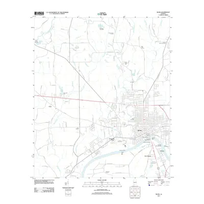 2011 Selma2011 Print · USGSCovers Dallas County, including Selma, Valley Grande, and other nearby areas
 - 2011 Map of Uniontown East, 2011 Print
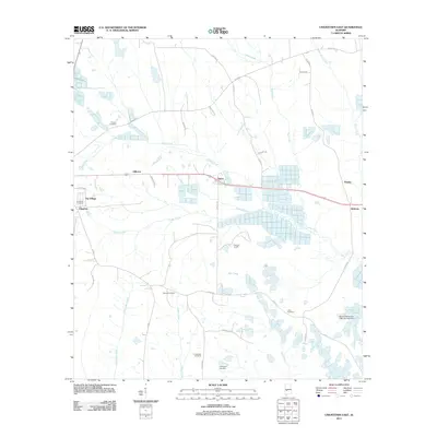 2011 Uniontown East2011 Print · USGSCovers Dallas County, including Uniontown, Bellevue, and other nearby areas
 - 2011 Map of Minter, 2011 Print
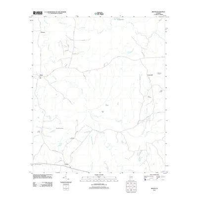 2011 Minter2011 Print · USGSCovers Dallas County, including Dawsons, Furman, and other nearby areas
Showing maps 1-25 of 133
Top cities of Dallas County
Frequently asked questions
- What are the different types of historical maps available for Dallas County?
- What is the oldest map of Dallas County?
- Where can I purchase historical maps of Dallas County for my home or office?
- Where can I download high-res historical maps of Dallas County?
- Are there historical topographic maps available for Dallas County?
- Is there historical aerial imagery available for Dallas County?
- Where are historical maps of Dallas County sourced from?