2010s Maps of Dallas County, Alabama
Explore 78 historic maps of Dallas County from the 2010s. These maps offer a rare glimpse into what life looked like during the 2010s — showing old roads, neighborhoods, homes, and landmarks that have changed or disappeared over time.
Whether you're researching your family's past, planning a metal detecting trip, or studying how Dallas County's landscape evolved across the 2010s, these high-resolution maps are a powerful tool for exploring the history of this region.
- Focus on a specific era: All maps on this page are from the 2010s, giving you a focused view of this time period.
- See what’s changed: Compare century-old streets, trails, and buildings to today's modern landscape using overlays and satellite layers.
- Research with precision: Use these maps for genealogy, historical research, land use analysis, or educational projects.
- View, download, or print: Maps are fully viewable online in high resolution, and can be downloaded or printed for your own records.
Start exploring Dallas County's history through authentic maps from the 2010s. This is your window into the past.
Dallas County, AL maps
(78)- 2011 Map of Buck Creek, 2011 Print
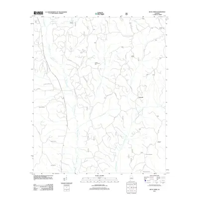 2011 Buck Creek2011 Print · USGSThe rural landscapes of Dallas County are seen here in the early twenty-first century, centered on the settlement of Panhandle. Genealogists will find a wealth of local history in the numerous burial sites like Pisgah Cemetery, Fellowship Cemetery, and Crossroad Cemetery.
 - 2011 Map of Browns, 2011 Print
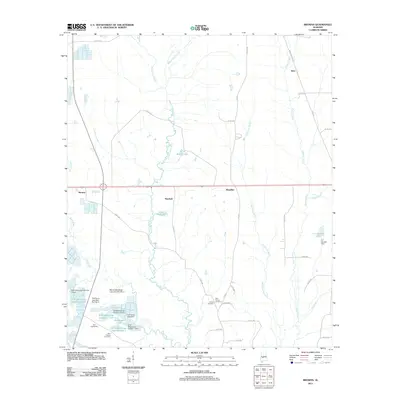 2011 Browns2011 Print · USGSPerry County at the start of the 2010s reveals a landscape of managed waterways and historic rural settlements. Researchers can trace family roots at Bell Cemeteries or Saint Chapter Cemetery and explore the many basins of Weissinger Lakes.
 - 2011 Map of Crumptonia, 2011 Print
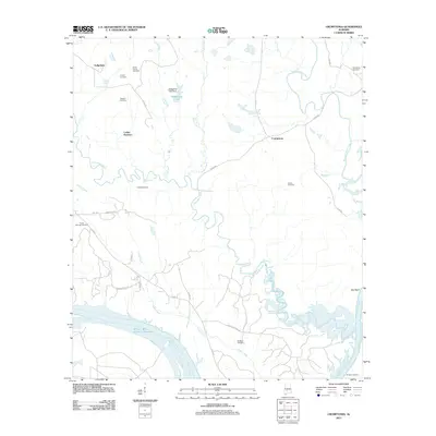 2011 Crumptonia2011 Print · USGSDallas County near Crumptonia is documented here in the early twenty-first century as a landscape of rural settlements and extensive river bottomlands. Genealogists and historians can locate numerous family burial grounds including Cobbs Cemetery, Poplar Springs Cemetery, and the historic site of Sprague Landing on the Alabama River.
 - 2011 Map of Elm Bluff, 2011 Print
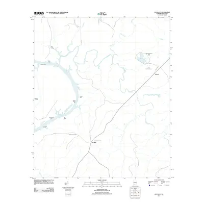 2011 Elm Bluff2011 Print · USGSThis Dallas County landscape along the Alabama River showcases the intersection of river commerce and rural community life in the early twenty-first century. Genealogists and historians can locate family landmarks like Center Ridge Cemetery and old river landings at Saffold Landing and Milton Bluff.
 - 2011 Map of Blackwell Bend, 2011 Print
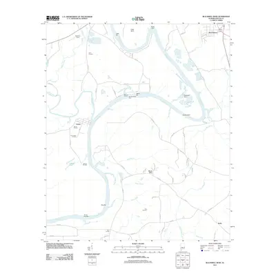 2011 Blackwell Bend2011 Print · USGSThe Alabama River loops through Dallas County in this 2011 survey, showing a landscape defined by water and history. Genealogists and researchers can locate family sites like Henry Cemetery, Cahaba Cemetery, and the riverfront at Kings Landing.
 - 2011 Map of Catherine, 2011 Print
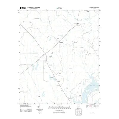 2011 Catherine2011 Print · USGSWilcox County in the early 2010s reveals a deeply rooted rural landscape where the river and historical settlements define the community. Genealogists and historians can trace numerous family-named landmarks including the Malone Cemetery, Vincent Spring, and the site of Prairie Bluff.
 - 2011 Map of Camden North, 2011 Print
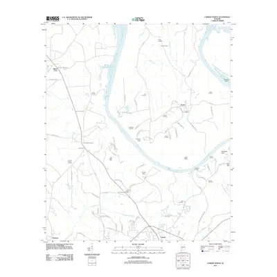 2011 Camden North2011 Print · USGSThe Alabama River and Gees Bend are central to this Wilcox County landscape at the start of the 2010s. Researchers can trace family history through many burial grounds like Pettway Cemetery or explore river landmarks including Millers Ferry and Bridgeport Landing.
 - 2011 Map of Central Mills, 2011 Print
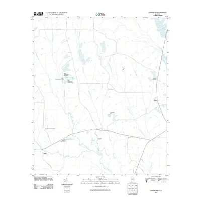 2011 Central Mills2011 Print · USGSDallas County in the early twenty-first century remains a landscape of deep creek valleys and quiet rural junctions. Researchers can trace local history through sites like Central Mills, the New Bethel Springs Cemetery, and the Triangle 6 Ranch Dam.
 - 2011 Map of Tasso, 2011 Print
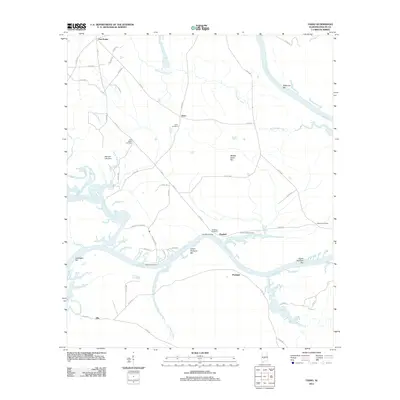 2011 Tasso2011 Print · USGSThe Alabama River corridor in Dallas County comes to life in this detailed 2010s study of its bends and bars. Genealogists can locate several historic burial sites like Seale and Molette Cemetery, alongside river landmarks including Pine Belt Landing and Portland.
 - 2011 Map of Carlowville, 2011 Print
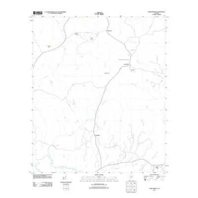 2011 Carlowville2011 Print · USGSDallas County's rural communities come into focus during the early twenty-first century as they maintain their traditional layout. Trace local roots and landmarks through the mapped locations of Saint Pauls Cemetery, the Alabama Sheriffs Boys Ranch, and the settlement of Carlowville.
 - 2011 Map of Summerfield, 2011 Print
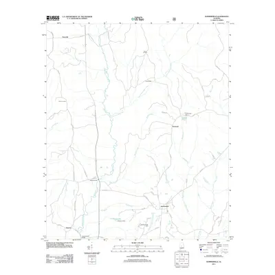 2011 Summerfield2011 Print · USGSThe rural landscape of Dallas County is captured here in the early twenty-first century, centered on the community of Summerfield. Local researchers can trace family landmarks and river crossings such as Shiloh Cemetery, Melton Bridge, and the settlement of Stonewall.
 - 2011 Map of Burnsville, 2011 Print
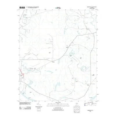 2011 Burnsville2011 Print · USGSThe Alabama River floodplain near Selma is shown here during the early twenty-first century, revealing a rural landscape defined by family settlements and river bars. Researchers can locate numerous local burial sites like DuBose Family Cemetery, Jerusalem Cemetery, and the community at New Everdale.
 - 2011 Map of Pleasant Hill, 2011 Print
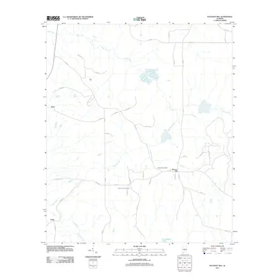 2011 Pleasant Hill2011 Print · USGSDallas County at the start of the 2010s reveals a quiet landscape of rural junctions and winding creek beds. Genealogists can trace family roots at Mount Lebanon Cemetery and Underwood Cemetery or explore the vicinities of Sinai Hall and Pleasant Hill.
 - 2011 Map of Sardis, 2011 Print
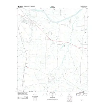 2011 Sardis2011 Print · USGSDallas County in the early twenty-first century remains a landscape of river-fed bottoms and small rural junctions. Researchers can trace family ties through several burial grounds like Sister Spring Cemetery and the settlements at Sardis and Polk.
 - 2011 Map of Jones, 2011 Print
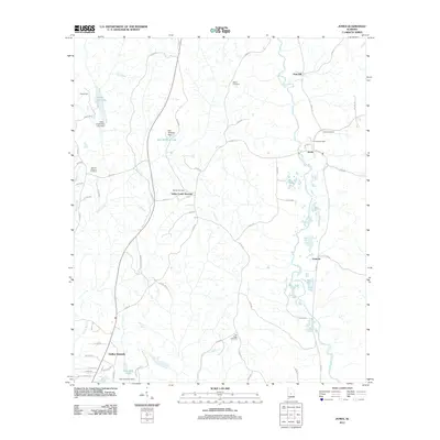 2011 Jones2011 Print · USGSDallas County in the early twenty-first century reveals a landscape shaped by rural communities and winding creek systems. Genealogists and historians can trace family roots through sites like Jones Cemetery, Valley Creek Junction, and the Jones Post Office.
 - 2011 Map of Durant Bend, 2011 Print
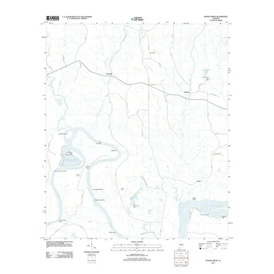 2011 Durant Bend2011 Print · USGSThe Alabama River floodplain and the community of Statesville are captured here during a period of modern industrial and agricultural balance. Genealogists and local historians can locate Jones Cemetery, trace the road to Henderson Landing, or find family sites like Steezers Farm.
 - 2011 Map of Orrville, 2011 Print
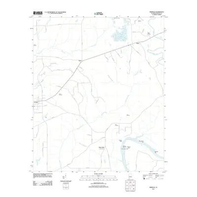 2011 Orrville2011 Print · USGSDallas County at the start of the 2010s reveals a landscape shaped by the Alabama River and quiet rural settlements. Researchers can locate numerous local landmarks including Liberty Cemetery, Sugar Bottom Cemetery, and the community of Orrville.
 - 2011 Map of Tilden, 2011 Print
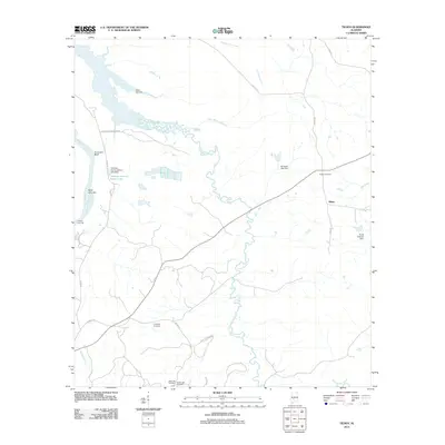 2011 Tilden2011 Print · USGSThe rural landscape of Dallas County is captured here in the early 21st century, centered on the community of Tilden. Researchers can trace local history through numerous sites including Older Hill Cemetery, Proctor Landing, and Choctaw County School Lake.
 - 2011 Map of Safford, 2011 Print
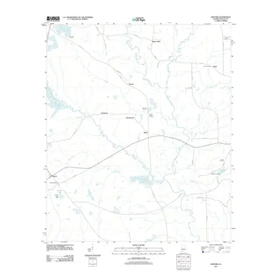 2011 Safford2011 Print · USGSDallas County in the early twenty-first century reveals a landscape shaped by rural communities and a network of creeks. Genealogists can trace family names through local landmarks like the Safford Post Office and the Martins Station Cemetery.
 - 2011 Map of Selma, 2011 Print
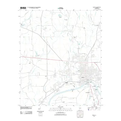 2011 Selma2011 Print · USGSThe Alabama River corridor near Selma shows its modern layout just after the millennium, from the historic downtown to the surrounding mill villages. Genealogists and historians can trace families through Live Oak Cemetery, visit the site of Kenans Mill, or study the grounds of Selma University.
 - 2011 Map of Uniontown East, 2011 Print
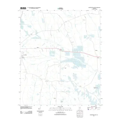 2011 Uniontown East2011 Print · USGSPerry County's rural character remains well-preserved in this study of the communities east of Uniontown in the early 2000s. Genealogists can trace several family and community landmarks, from Ellawhite Cemetery to the small settlements of Tayloe and Hillcrest.
 - 2011 Map of Minter, 2011 Print
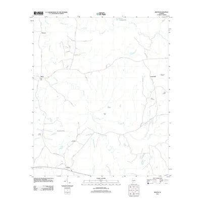 2011 Minter2011 Print · USGSDallas County in the early 2000s remains a landscape of quiet rural settlements and family landmarks shaped by the drainage of Cedar Creek. Researchers can trace local lineages through several community sites including Minter Post Office, Nixson Hall, and the Old Snow Hill Cemetery.
 - 2011 Map of Collirene, 2011 Print
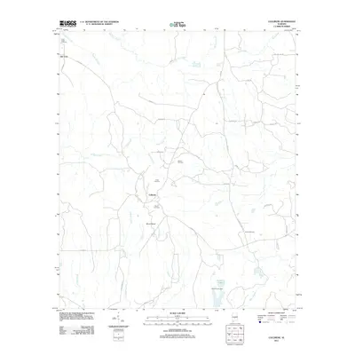 2011 Collirene2011 Print · USGSThe rural stretches of Dallas County come into focus during this early twenty-first-century survey. Genealogists and local historians can trace legacy community markers through sites like Collirene, Mount Baber, and the Shiloh Cemetery.
 - 2011 Map of Benton, 2011 Print
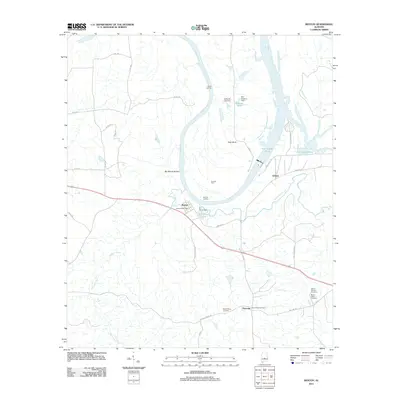 2011 Benton2011 Print · USGSThe Alabama River dominates this early 2000s landscape near the Lowndes and Dallas county line. Genealogists can locate family burial grounds like Robert Rives Cemetery and trace the rural layouts of Benton and Petronia.
 - 2011 Map of Plantersville, 2011 Print
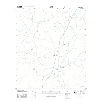 2011 Plantersville2011 Print · USGSChilton County in the early twenty-first century reveals a landscape of enduring rural communities and winding creek systems. Genealogists and local historians can trace family-named sites like Harris Cemetery, Valley Creek Cemetery, and the river crossing at Corley Jones Bridge.
Showing maps 1-25 of 78
Top cities of Dallas County
Frequently asked questions
- What are the different types of historical maps available for Dallas County?
- What is the oldest map of Dallas County?
- Where can I purchase historical maps of Dallas County for my home or office?
- Where can I download high-res historical maps of Dallas County?
- Are there historical topographic maps available for Dallas County?
- Is there historical aerial imagery available for Dallas County?
- Where are historical maps of Dallas County sourced from?