2020s Maps of Fayette County, Alabama
Explore 34 historic maps of Fayette County from the 2020s. These maps offer a rare glimpse into what life looked like during the 2020s — showing old roads, neighborhoods, homes, and landmarks that have changed or disappeared over time.
Whether you're researching your family's past, planning a metal detecting trip, or studying how Fayette County's landscape evolved across the 2020s, these high-resolution maps are a powerful tool for exploring the history of this region.
- Focus on a specific era: All maps on this page are from the 2020s, giving you a focused view of this time period.
- See what’s changed: Compare century-old streets, trails, and buildings to today's modern landscape using overlays and satellite layers.
- Research with precision: Use these maps for genealogy, historical research, land use analysis, or educational projects.
- View, download, or print: Maps are fully viewable online in high resolution, and can be downloaded or printed for your own records.
Start exploring Fayette County's history through authentic maps from the 2020s. This is your window into the past.
Fayette County, AL maps
(34)- 2020 Map of Bluff, 2020 Print
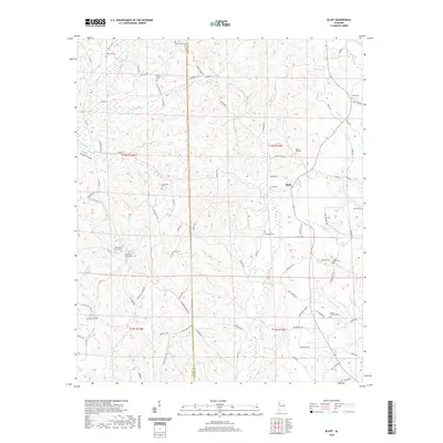 2020 Bluff2020 Print · USGSCovers Fayette County, including Mansfield, Blooming Grove, and other nearby areas
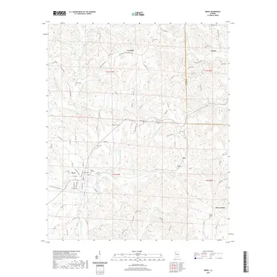
 - 2020 Map of Berry SE, 2020 Print
 2020 Berry SE2020 Print · USGSCovers Fayette County, including Gorgas, Tuscaloosa County, and other nearby areas
 - 2020 Map of Newtonville, 2020 Print
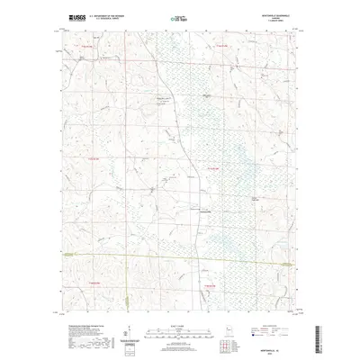 2020 Newtonville2020 Print · USGSCovers Fayette County, including Jerusalem, Newtonville, and other nearby areas
 - 2020 Map of Fayette, 2020 Print
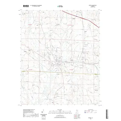
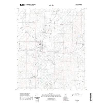 2020 Fayette2020 Print · USGSCovers Fayette County, including Fayette, Old Town, and other nearby areas
 - 2020 Map of Berry, 2020 Print
 2020 Berry2020 Print · USGSCovers Fayette County, including Berry, Pendley, and other nearby areas
 - 2020 Map of Howard, 2020 Print
 2020 Howard2020 Print · USGSCovers Fayette County, including Carbon Hill, Howard, and other nearby areas
 - 2020 Map of New Lexington, 2020 Print
 2020 New Lexington2020 Print · USGSCovers Fayette County, including New Lexington, New Hope, and other nearby areas
 - 2020 Map of Wiley, 2020 Print
 2020 Wiley2020 Print · USGSCovers Fayette County, including Sandtown, Wiley, and other nearby areas
 - 2020 Map of Glen Allen, 2020 Print
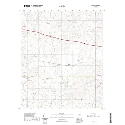 2020 Glen Allen2020 Print · USGSCovers Fayette County, including Winfield, Glen Allen, and other nearby areas
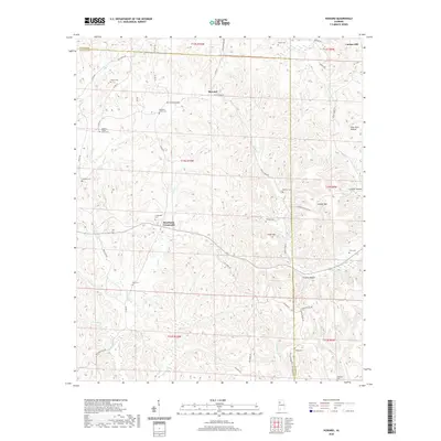
 - 2020 Map of Kennedy, 2020 Print
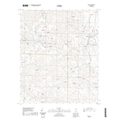
 2020 Kennedy2020 Print · USGSCovers Fayette County, including Kennedy, Ashcraft Corner, and other nearby areas
 - 2020 Map of Hubbertville, 2020 Print
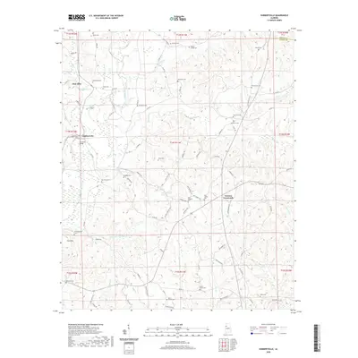 2020 Hubbertville2020 Print · USGSCovers Fayette County, including Glen Allen, Hubbertville, and other nearby areas
 - 2020 Map of Oakman, 2020 Print
 2020 Oakman2020 Print · USGSCovers Fayette County, including Oakman, Patton, and other nearby areas
 - 2020 Map of Winfield SE, 2020 Print
 2020 Winfield SE2020 Print · USGSCovers Fayette County, including Winfield, Glen Allen, and other nearby areas
 - 2020 Map of Winfield, 2020 Print
 2020 Winfield2020 Print · USGSCovers Fayette County, including Winfield, Guin, and other nearby areas
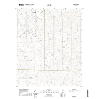
 - 2020 Map of Bankston, 2020 Print
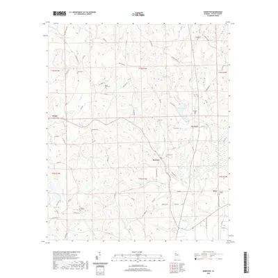 2020 Bankston2020 Print · USGSCovers Fayette County, including Berry, Bankston, and other nearby areas
 - 2020 Map of Guin, 2020 Print
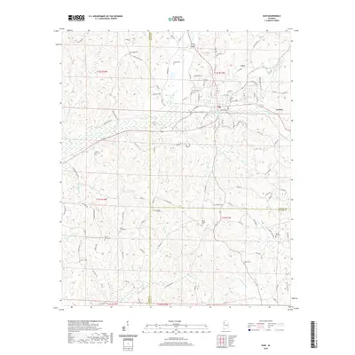 2020 Guin2020 Print · USGSCovers Fayette County, including Guin, Gu-Win, and other nearby areas
 - 2020 Map of Belk, 2020 Print
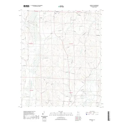
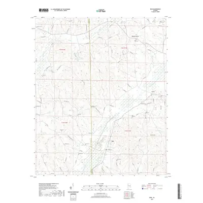 2020 Belk2020 Print · USGSCovers Fayette County, including Belk, Covin, and other nearby areas
 - 2024 Map of Berry, 2024 Print
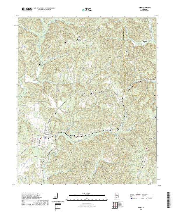 2024 Berry2024 Print · USGSFayette and Walker counties appear in recent detail, centered on the railroad town of Berry and its surrounding hill country. Genealogists can locate family burial sites at Berry City Cem, Salem Cem, and New Hope Cem while tracing the BNSF Railway line.
 - 2024 Map of Howard, 2024 Print
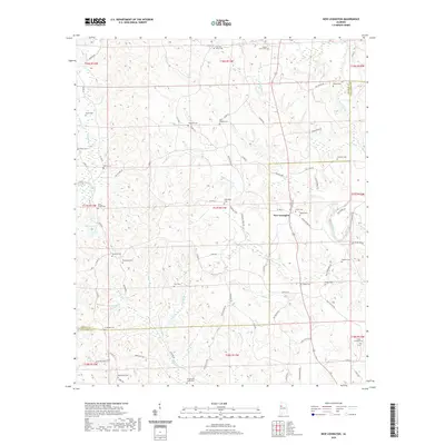
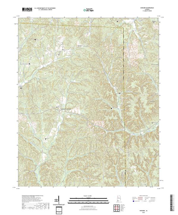 2024 Howard2024 Print · USGSThe borderlands of Fayette and Walker counties come into focus in this contemporary survey of North Alabama. Researchers can locate numerous family-named burial sites like Whitley Cem and Harris Cem, or trace the rural routes connecting Studdards Crossroads and Howard.
 - 2024 Map of Belk, 2024 Print
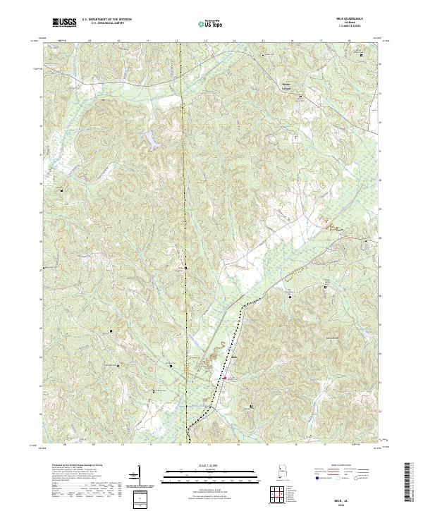 2024 Belk2024 Print · USGSThe rural borderlands of Fayette and Lamar counties are captured here in a moment of quiet continuity. Genealogists and local historians can trace family ties through numerous sites like Wesley Chapel Cem, Bethabra Cem, and Scareum Mtn.
 - 2024 Map of Hubbertville, 2024 Print
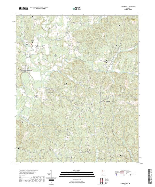 2024 Hubbertville2024 Print · USGSNorthwestern Alabama's rural uplands are shown here in modern detail, centered on the Sipsey River and small hubs like Hubbertville. Genealogists can trace family connections through over a dozen mapped burial sites, including Mayfield Cem and Cedar Grove Cem.
 - 2024 Map of New Lexington, 2024 Print
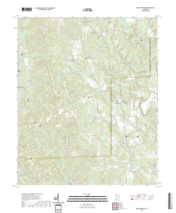 2024 New Lexington2024 Print · USGSThe Fayette and Tuscaloosa county line comes alive in the twenty-first century, showing a landscape of small settlements and rural creek valleys. Genealogists can trace family footprints at New Chapel Methodist Church Cem, Salem Cem, and New Lexington.
 - 2024 Map of Bluff, 2024 Print
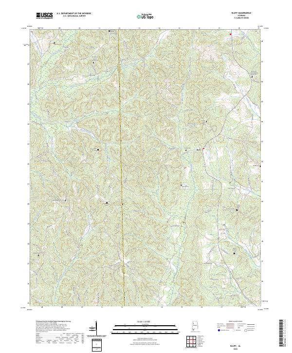 2024 Bluff2024 Print · USGSThe border of Lamar and Fayette counties comes alive in this study of rural Alabama. Genealogists and historians can trace family ties through numerous local landmarks, including Old Antioch Baptist Church Cem, Liberty Cem, and the community at Bluff.
 - 2024 Map of Fayette, 2024 Print
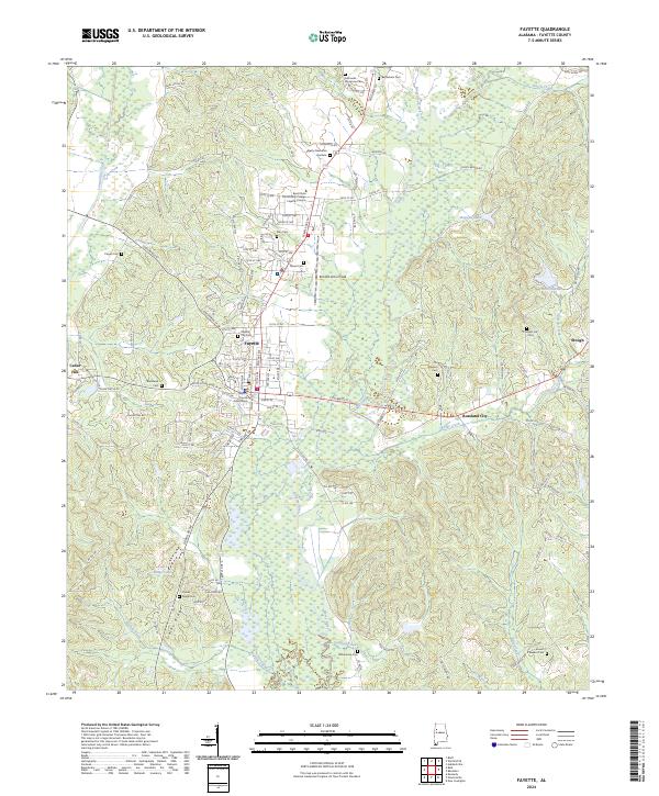 2024 Fayette2024 Print · USGSFayette and its surrounding rural communities are captured here in the early twenty-first century, showing a mix of municipal growth and woodland. Researchers can trace numerous burial grounds and civic sites, including Old Whitson Cem, the Fayette County Courthouse, and Rossland City.
 - 2024 Map of Berry SE, 2024 Print
 2024 Berry SE2024 Print · USGSThe rural border of Fayette and Tuscaloosa Counties is shown in detail here during the 2020s. Researchers can locate numerous local landmarks and burial sites, from Bethlehem Church and Fairview Cem to the high ground of Tyro Creek Hill.
Showing maps 1-25 of 34
Top cities of Fayette County
Frequently asked questions
- What are the different types of historical maps available for Fayette County?
- What is the oldest map of Fayette County?
- Where can I purchase historical maps of Fayette County for my home or office?
- Where can I download high-res historical maps of Fayette County?
- Are there historical topographic maps available for Fayette County?
- Is there historical aerial imagery available for Fayette County?
- Where are historical maps of Fayette County sourced from?