2000s (21st Century) Maps of Greene County, Alabama
Explore 120 historic maps of Greene County from the 2000s (21st Century). These maps offer a rare glimpse into what life looked like during the 2000s — showing old roads, neighborhoods, homes, and landmarks that have changed or disappeared over time.
Whether you're researching your family's past, planning a metal detecting trip, or studying how Greene County's landscape evolved across the 2000s, these high-resolution maps are a powerful tool for exploring the history of this region.
- Focus on a specific era: All maps on this page are from the 2000s, giving you a focused view of this time period.
- See what’s changed: Compare century-old streets, trails, and buildings to today's modern landscape using overlays and satellite layers.
- Research with precision: Use these maps for genealogy, historical research, land use analysis, or educational projects.
- View, download, or print: Maps are fully viewable online in high resolution, and can be downloaded or printed for your own records.
Start exploring Greene County's history through authentic maps from the 2000s. This is your window into the past.
Greene County, AL maps
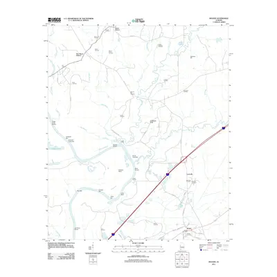
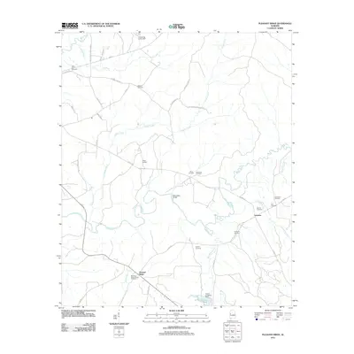
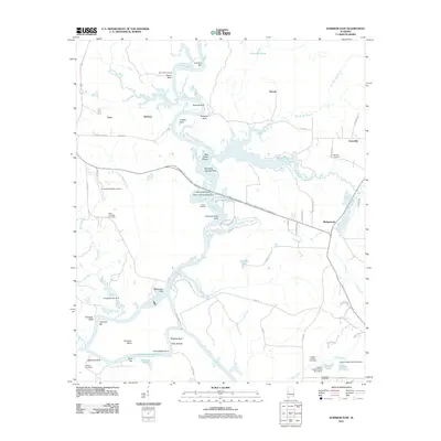
(120)- 2011 Map of Eutaw, 2011 Print
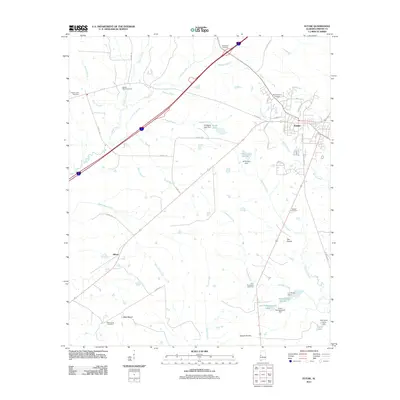 2011 Eutaw2011 Print · USGSCovers Greene County, including Eutaw, Allison, and other nearby areas
 - 2011 Map of Forkland, 2011 Print
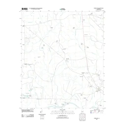 2011 Forkland2011 Print · USGSCovers Greene County, including Forkland, Hycutt, and other nearby areas
 - 2011 Map of Warsaw, 2011 Print
 2011 Warsaw2011 Print · USGSCovers Greene County, including Warsaw, New West Greene, and other nearby areas
 - 2011 Map of Epes East, 2011 Print
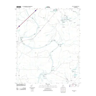 2011 Epes East2011 Print · USGSCovers Greene County, including Boligee, Epes, and other nearby areas
 - 2011 Map of Boligee, 2011 Print
 2011 Boligee2011 Print · USGSCovers Greene County, including Boligee, Mount Hebron, and other nearby areas
 - 2011 Map of Mantua, 2011 Print
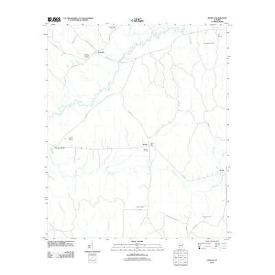 2011 Mantua2011 Print · USGSCovers Greene County, including Union, Mantua, and other nearby areas
 - 2011 Map of Aliceville South, 2011 Print
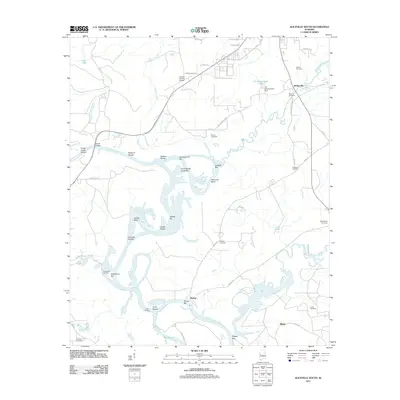 2011 Aliceville South2011 Print · USGSCovers Greene County, including Aliceville, Vienna, and other nearby areas
 - 2011 Map of Romulus, 2011 Print
 2011 Romulus2011 Print · USGSCovers Greene County, including Jena, Romulus, and other nearby areas
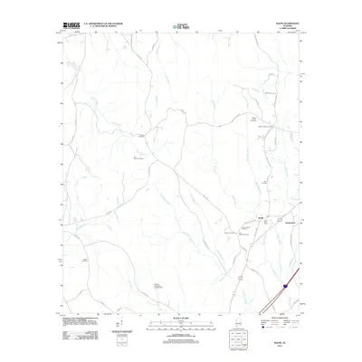
 - 2011 Map of Kirk, 2011 Print
 2011 Kirk2011 Print · USGSCovers Greene County, including Kirk, Pioneer, and other nearby areas
 - 2011 Map of Fosters, 2011 Print
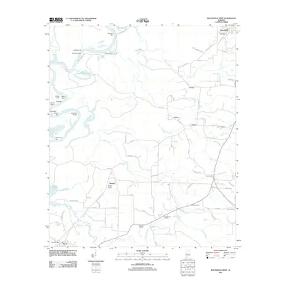
 2011 Fosters2011 Print · USGSCovers Greene County, including Moundville, Fosters, and other nearby areas
 - 2011 Map of Pleasant Ridge, 2011 Print
 2011 Pleasant Ridge2011 Print · USGSCovers Greene County, including Pleasant Ridge, Lewiston, and other nearby areas
 - 2011 Map of Knoxville, 2011 Print
 2011 Knoxville2011 Print · USGSCovers Greene County, including Oak Village, Knoxville, and other nearby areas
 - 2011 Map of Gainesville, 2011 Print
 2011 Gainesville2011 Print · USGSCovers Greene County, including Gainesville, Sumter County, and other nearby areas
 - 2011 Map of Mason Bend, 2011 Print
 2011 Mason Bend2011 Print · USGSCovers Greene County, including Forkland, Walden Quarters, and other nearby areas
 - 2011 Map of Moundville West, 2011 Print
 2011 Moundville West2011 Print · USGSCovers Greene County, including Moundville, Akron, and other nearby areas
 - 2011 Map of Union, 2011 Print
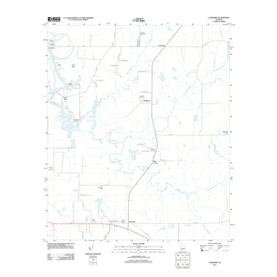
 2011 Union2011 Print · USGSCovers Greene County, including Eutaw, Union, and other nearby areas
 - 2011 Map of Demopolis, 2011 Print
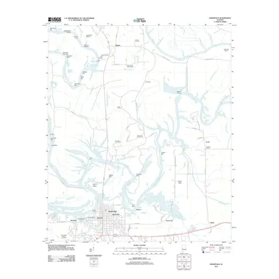 2011 Demopolis2011 Print · USGSCovers Greene County, including Demopolis, Shortleaf, and other nearby areas
 - 2011 Map of Ralph, 2011 Print
 2011 Ralph2011 Print · USGSCovers Greene County, including Ralph, Shadowood, and other nearby areas
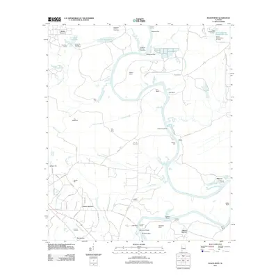
 - 2011 Map of Warrior Dam, 2011 Print
 2011 Warrior Dam2011 Print · USGSCovers Greene County, including Eutaw, Darrah, and other nearby areas
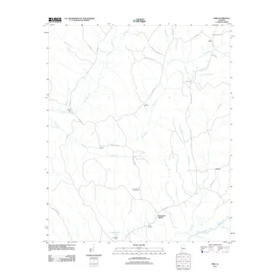
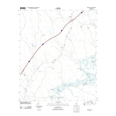
 - 2011 Map of Brewersville, 2011 Print
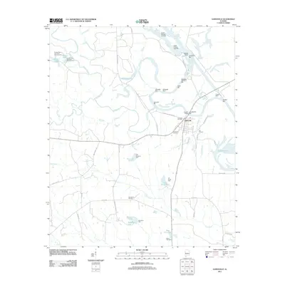
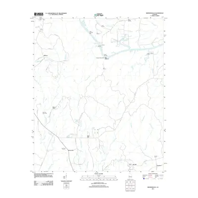 2011 Brewersville2011 Print · USGSCovers Greene County, including Brewersville, Dug Hill, and other nearby areas
 - 2011 Map of West Greene, 2011 Print
 2011 West Greene2011 Print · USGSCovers Greene County, including West Greene, United States, and other nearby areas
 - 2011 Map of Casemore, 2011 Print
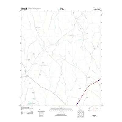
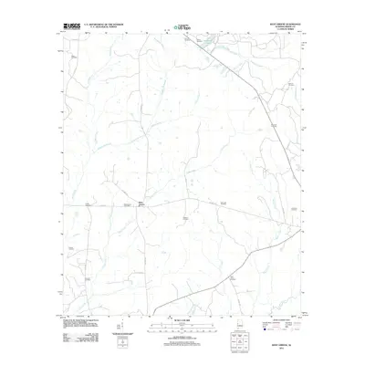
 2011 Casemore2011 Print · USGSCovers Greene County, including Lock Five, Casemore, and other nearby areas
 - 2011 Map of Melton, 2011 Print
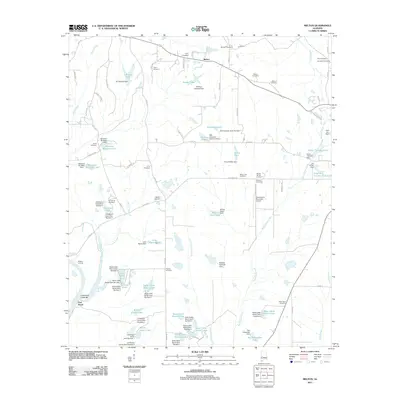 2011 Melton2011 Print · USGSCovers Greene County, including Melton, Port Royal, and other nearby areas
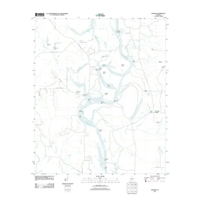
 - 2011 Map of McDowell, 2011 Print
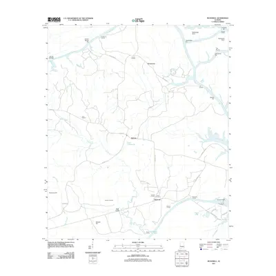 2011 McDowell2011 Print · USGSCovers Greene County, including Demopolis, Belmont, and other nearby areas
 - 2014 Map of Fosters, 2014 Print
 2014 Fosters2014 Print · USGSCovers Greene County, including Moundville, Fosters, and other nearby areas
Showing maps 1-25 of 120
Top cities of Greene County
Frequently asked questions
- What are the different types of historical maps available for Greene County?
- What is the oldest map of Greene County?
- Where can I purchase historical maps of Greene County for my home or office?
- Where can I download high-res historical maps of Greene County?
- Are there historical topographic maps available for Greene County?
- Is there historical aerial imagery available for Greene County?
- Where are historical maps of Greene County sourced from?