2010s Maps of Greene County, Alabama
Explore 72 historic maps of Greene County from the 2010s. These maps offer a rare glimpse into what life looked like during the 2010s — showing old roads, neighborhoods, homes, and landmarks that have changed or disappeared over time.
Whether you're researching your family's past, planning a metal detecting trip, or studying how Greene County's landscape evolved across the 2010s, these high-resolution maps are a powerful tool for exploring the history of this region.
- Focus on a specific era: All maps on this page are from the 2010s, giving you a focused view of this time period.
- See what’s changed: Compare century-old streets, trails, and buildings to today's modern landscape using overlays and satellite layers.
- Research with precision: Use these maps for genealogy, historical research, land use analysis, or educational projects.
- View, download, or print: Maps are fully viewable online in high resolution, and can be downloaded or printed for your own records.
Start exploring Greene County's history through authentic maps from the 2010s. This is your window into the past.
Greene County, AL maps
(72)- 2011 Map of Eutaw, 2011 Print
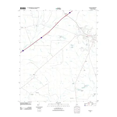 2011 Eutaw2011 Print · USGSGreene County in the early twenty-first century remains a landscape of managed waters and historic rural settlements. Genealogists can trace family footprints across Mesopotamia Cemetery, The Prairie, and the small community of Allison.
 - 2011 Map of Forkland, 2011 Print
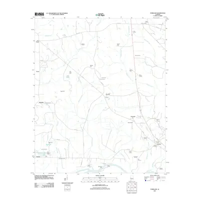 2011 Forkland2011 Print · USGSGreene County’s river-bound landscape is captured here in the early twenty-first century as the Tombigbee River snakes past local landings. Researchers can locate numerous historic burial sites and rural settlements like Tishabee, Thornhill, and Bethlehem Cemetery.
 - 2011 Map of Warsaw, 2011 Print
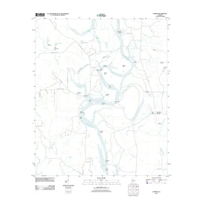 2011 Warsaw2011 Print · USGSSoutheastern river life and rural settlements define this Alabama landscape in the early twenty-first century. Genealogists can trace family names through numerous burial sites including Jamestown Cemetery, Mobley Cemetery, and Pleasant Valley Cemetery.
 - 2011 Map of Epes East, 2011 Print
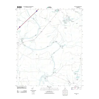 2011 Epes East2011 Print · USGSThe Tombigbee River corridor comes alive in this 2011 survey of Greene County, documenting a landscape defined by river navigation and rural family heritage. Researchers can trace ancestral sites at Bethsalem Cemetery or locate old river landmarks like Lukes Landing and Jones Bluff Shoals.
 - 2011 Map of Boligee, 2011 Print
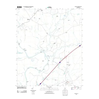 2011 Boligee2011 Print · USGSGreene County’s riverfront and rural uplands are meticulously detailed in this early twenty-first-century survey of the Alabama black belt. Researchers can locate numerous family burial sites like Boatright Cemetery and trace river landmarks such as Clays Bluff and Trussel Shoals.
 - 2011 Map of Mantua, 2011 Print
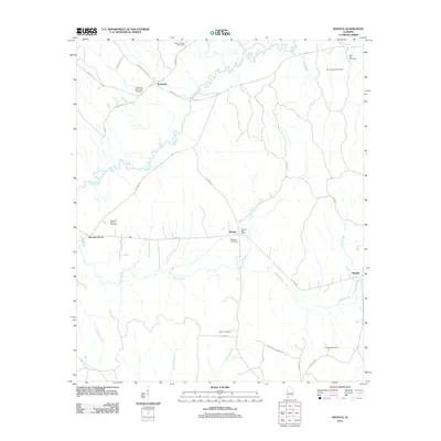 2011 Mantua2011 Print · USGSGreene County, Alabama, is documented here in the early 2010s, showing a landscape defined by the meandering Sipsey River and quiet crossroads. Genealogists can trace family heritage through numerous rural sites like Hebron Cemetery, Mount Moriah Cemetery, and the Mantua Post Office.
 - 2011 Map of Aliceville South, 2011 Print
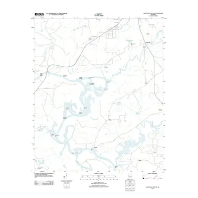 2011 Aliceville South2011 Print · USGSPickens County at the start of the 2010s reveals a landscape defined by the deep bends and shoals of the Tombigbee River. Researchers can trace old family burial sites like Old Bethany Cemetery and Gardner Cemetery or locate river landmarks such as Vienna and Windhams Landing.
 - 2011 Map of Romulus, 2011 Print
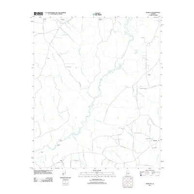 2011 Romulus2011 Print · USGSWest of Tuscaloosa in the early 2000s, the rural landscapes of Jena and Romulus remain defined by the winding Sipsey River. Local historians can trace old river crossings at Huffmans Ford or locate ancestral sites at Backbone Cemetery and Jordan Cemetery.
 - 2011 Map of Kirk, 2011 Print
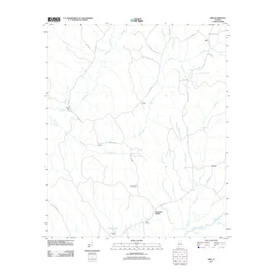 2011 Kirk2011 Print · USGSPickens County, Alabama, is shown at the start of the twenty-first century, preserving the legacy of rural settlements and old water-powered industries. Researchers can locate family landmarks such as Speeds Water Mill, Mitchell Cemetery, and the Pleasant Grove Lookout Tower.
 - 2011 Map of Fosters, 2011 Print
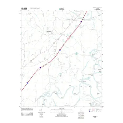 2011 Fosters2011 Print · USGSThe Black Warrior River valley near Moundville is shown here in the early twenty-first century, revealing a landscape deeply tied to its waterways. Local historians can trace family ties through numerous sites like Holly Springs Cemetery, Beale Cemetery, and the historic Foster Ferry Bridge.
 - 2011 Map of Pleasant Ridge, 2011 Print
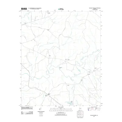 2011 Pleasant Ridge2011 Print · USGSThe Sipsey River valley in Greene County is captured here in the early 21st century, showing a landscape defined by small river settlements and family history. Genealogists can trace family names at the Pleasant Ridge Cemetery, Bethany Cemetery, and Eatman Cemetery.
 - 2011 Map of Knoxville, 2011 Print
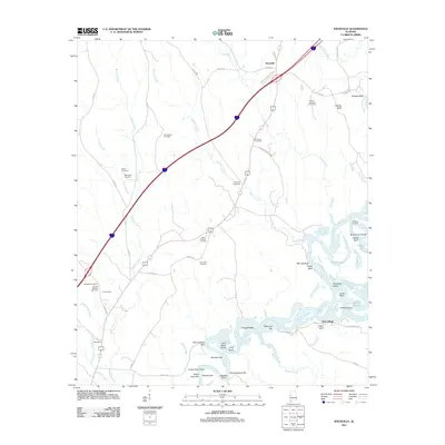 2011 Knoxville2011 Print · USGSHale County's riverfront and rural settlements are shown here as they appeared in the early twenty-first century. Genealogists and historians can trace family roots at Saint Paul Cemetery, explore the riverbanks at Chiles Ferry Bar, and locate the community of Oak Village.
 - 2011 Map of Gainesville, 2011 Print
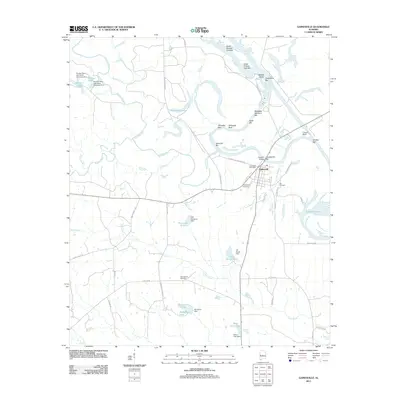 2011 Gainesville2011 Print · USGSThe river town of Gainesville and its surrounding riverbanks are captured here at a time when the Tombigbee River still defined the local geography. Researchers can trace family history at the Odd Fellows Cemetery or locate historical river landmarks like Whitsitts Bluff and Tutwiler Bridge Bar.
 - 2011 Map of Mason Bend, 2011 Print
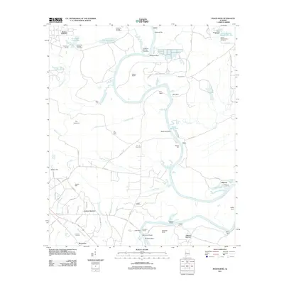 2011 Mason Bend2011 Print · USGSThe Black Warrior River valley in the early twenty-first century remains a landscape of river-bend settlements and deep-rooted family quarters. Genealogists and historians can trace local ties at Erie Cemetery, Walden Quarters, and the historic landing at Millwood.
 - 2011 Map of Moundville West, 2011 Print
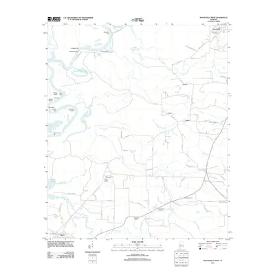 2011 Moundville West2011 Print · USGSThe river-bottom lands and upland settlements near the Black Warrior River come to light in this early 21st-century survey. Researchers can trace rural lineages through numerous burial grounds like Mileous Chapel Cemetery and Tucker Cemetery or locate old crossings at Havana Junction.
 - 2011 Map of Union, 2011 Print
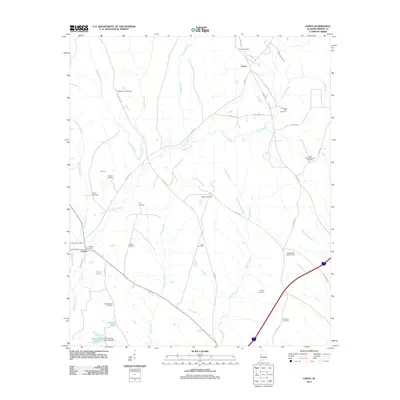 2011 Union2011 Print · USGSGreene County in the early 2000s remains a landscape of family-centered rural outposts and deep-rooted cemeteries. Genealogists can trace family names across sites like Johnson Hill Cemetery and Spencer Cemetery or find central landmarks like the Clinton Post Office.
 - 2011 Map of Demopolis, 2011 Print
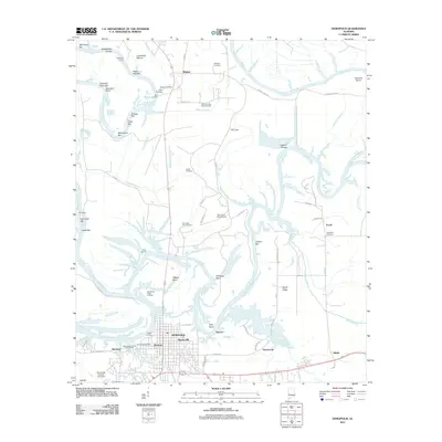 2011 Demopolis2011 Print · USGSThe confluence of the Tombigbee and Black Warrior rivers comes to life in the early 21st century. Trace local family history and river commerce through features like Jerusalem Cemetery, Baptist Hill, and the Demopolis Upper Landing.
 - 2011 Map of Ralph, 2011 Print
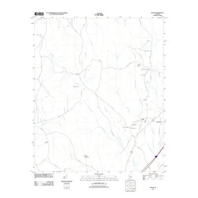 2011 Ralph2011 Print · USGSThe community of Ralph and its surrounding rural church-yards are captured here in the early twenty-first century. Family historians can locate numerous burial sites, including Sealy Cemetery, Beulah Cemetery, and Mount Herman Cemetery.
 - 2011 Map of Warrior Dam, 2011 Print
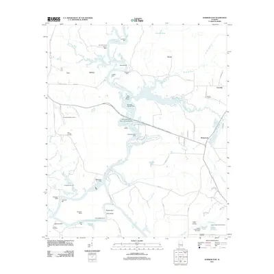 2011 Warrior Dam2011 Print · USGSThe Black-Warrior River valley in Alabama is captured here in the early twenty-first century, showing a landscape defined by historic river landings and rural infrastructure. Researchers can trace family history through sites like Jackson Chapel Cemetery or locate old river landmarks such as Halls Shoals and Stave Bluff Landing.
 - 2011 Map of Brewersville, 2011 Print
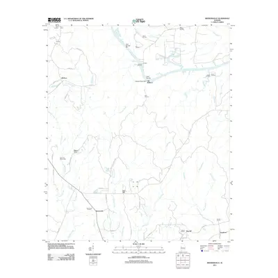 2011 Brewersville2011 Print · USGSSumter County at the start of the 2010s reveals a quiet landscape of river bends and small rural communities. Genealogists can trace family names through numerous burial grounds like Brewersville Cemetery, Phares Cemetery, and Dug Hill Cemetery.
 - 2011 Map of West Greene, 2011 Print
 2011 West Greene2011 Print · USGSWest Greene and its surrounding Alabama countryside are captured here in the early twenty-first century. Family historians can locate numerous burial grounds across the landscape, including Saint Johns, Eatman, and New Light.
 - 2011 Map of Casemore, 2011 Print
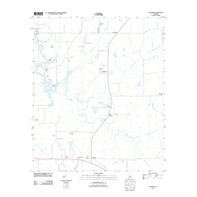 2011 Casemore2011 Print · USGSHale County's riverfront and Black Belt prairies are captured here in the early twenty-first century. Researchers can trace family history through a high density of rural burial grounds like Saint Andrews Cemetery and Pickens Cemetery, or locate river landmarks like Lock Five.
 - 2011 Map of Melton, 2011 Print
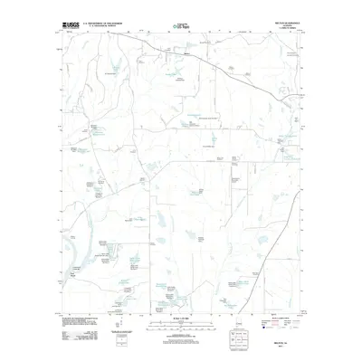 2011 Melton2011 Print · USGSThe rural stretches of Hale County are captured here in the early twenty-first century, showing the intersection of river navigation and modern ranching. Researchers can locate numerous family-named burial grounds like Mount Zion Cemetery and Saint Pauls Cemetery, alongside the extensive State Cattle Ranch Lakes.
 - 2011 Map of McDowell, 2011 Print
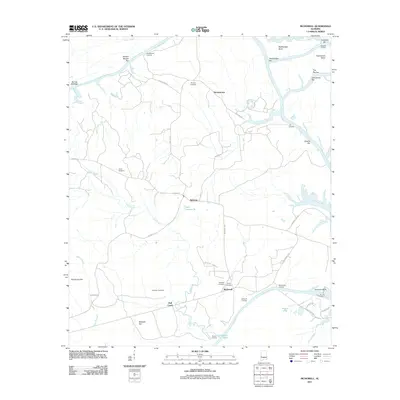 2011 McDowell2011 Print · USGSThe Tombigbee River corridor near Demopolis comes alive in this modern survey, showing a landscape defined by winding bends and river landings. Genealogists can trace family names and local history through Pinetop Cemetery, McDowells Landing, and the settlement at Belmont.
 - 2014 Map of Fosters, 2014 Print
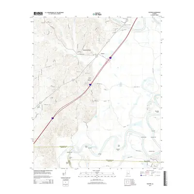 2014 Fosters2014 Print · USGSTuscaloosa County and the winding bends of the Black Warrior River are captured here during the early twenty-first century. Genealogists and local historians can locate numerous rural cemeteries like Sylvan Cem and trace river landmarks such as Izzard Shoals.
Showing maps 1-25 of 72
Top cities of Greene County
Frequently asked questions
- What are the different types of historical maps available for Greene County?
- What is the oldest map of Greene County?
- Where can I purchase historical maps of Greene County for my home or office?
- Where can I download high-res historical maps of Greene County?
- Are there historical topographic maps available for Greene County?
- Is there historical aerial imagery available for Greene County?
- Where are historical maps of Greene County sourced from?