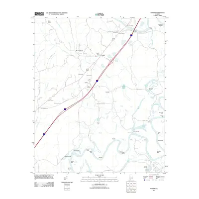
2011 Map of Fosters
USGS Topo · Published 2011About this map
The Black Warrior River carves a winding path through this corner of Alabama, defining a landscape shaped by river transport and established family landholdings. Along its banks, numerous landings and bars like Foster Landing, Beals Landing, and Vancleave Bar reflect a history of river-based commerce and navigation. Small settlements such as Fosters and Sylvan serve as central points for the surrounding rural area, with the Fosters Post Office marking the local hub.
Find a feature on this map
94 named features on this map. Tap any name to fly to it.
Don’t see what you’re looking for? This feature index may not catch every label — zoom into the map to look around manually.
Map Details
Editions of this 2011 Fosters Map
This is the sole edition of this map. No revisions or reprints were ever made.
Other maps of this area

1924 · Tuscaloosa
USGS Topo · 1:62,500

1926 · Tuscaloosa
USGS Topo · 1:62,500

1927 · Eutaw
USGS Topo · 1:48,000

1931 · Eutaw
USGS Topo · 1:62,500

1953 · Montgomery
USGS Topo · 1:250,000

1953 · Birmingham
USGS Topo · 1:250,000

1956 · Birmingham
USGS Topo · 1:250,000

1956 · Montgomery
USGS Topo · 1:250,000

1957 · Birmingham
USGS Topo · 1:250,000

1957 · Montgomery
USGS Topo · 1:250,000