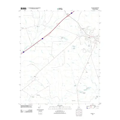
2011 Map of Eutaw
USGS Topo · Published 2011About this map
Eutaw serves as the focal point of this Greene County landscape, where the town’s residential grid meets the meandering waters of White Creek. The surrounding area is defined by a series of distinct geographic regions including The Prairie and Daniels Prairie, alongside elevated points like Hays Mount. This 2011 survey reveals a complex hydrological network managed by numerous private impoundments, such as Odum Lake Number 1, Hardy Lake Number 1, and Doc Hollingsworth Lake, each held by namesake dams.
Find a feature on this map
54 named features on this map. Tap any name to fly to it.
Don’t see what you’re looking for? This feature index may not catch every label — zoom into the map to look around manually.
Map Details
Editions of this 2011 Eutaw Map
This is the sole edition of this map. No revisions or reprints were ever made.
Other maps of this area

1927 · Eutaw
USGS Topo · 1:48,000

1929 · Epes
USGS Topo · 1:48,000

1931 · Eutaw
USGS Topo · 1:62,500

1932 · Epes
USGS Topo · 1:62,500

1947 · Mason Bend
USGS Topo · 1:24,000

1947 · Forkland
USGS Topo · 1:24,000

1948 · Mason Bend
USGS Topo · 1:24,000

1949 · Forkland
USGS Topo · 1:24,000

1953 · Montgomery
USGS Topo · 1:250,000

1953 · Meridian
USGS Topo · 1:250,000