2020s Maps of Lamar County, Alabama
Explore 34 historic maps of Lamar County from the 2020s. These maps offer a rare glimpse into what life looked like during the 2020s — showing old roads, neighborhoods, homes, and landmarks that have changed or disappeared over time.
Whether you're researching your family's past, planning a metal detecting trip, or studying how Lamar County's landscape evolved across the 2020s, these high-resolution maps are a powerful tool for exploring the history of this region.
- Focus on a specific era: All maps on this page are from the 2020s, giving you a focused view of this time period.
- See what’s changed: Compare century-old streets, trails, and buildings to today's modern landscape using overlays and satellite layers.
- Research with precision: Use these maps for genealogy, historical research, land use analysis, or educational projects.
- View, download, or print: Maps are fully viewable online in high resolution, and can be downloaded or printed for your own records.
Start exploring Lamar County's history through authentic maps from the 2020s. This is your window into the past.
Lamar County, AL maps
(34)- 2020 Map of Millport, 2020 Print
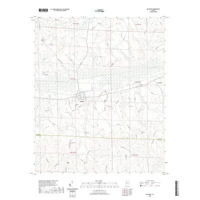 2020 Millport2020 Print · USGSMillport and the surrounding Lamar County countryside are documented in this recent survey, capturing the region's enduring rural character. Genealogists can locate numerous historic burial sites, including Eatman Cem, Holly Grove Cem, and Oddfellows Cem.
 - 2020 Map of Vernon, 2020 Print
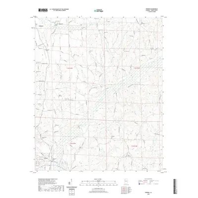 2020 Vernon2020 Print · USGSLamar County, Alabama, is shown here in the modern era, centered on the historic county seat and its surrounding timberlands and creek valleys. Researchers can trace dozens of local burial sites and landmarks like Morton Chapel Cem, Sulligent, and the Lamar County Airport.
 - 2020 Map of Hightogy, 2020 Print
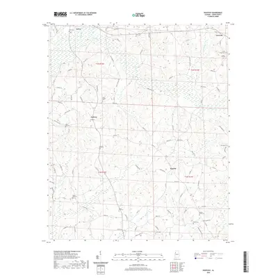 2020 Hightogy2020 Print · USGSLamar County rural life continues around Vernon and Hightogy as seen in this modern survey. Genealogists can trace family heritage through numerous burial sites like Meadow Branch Cem, Walnut Grove Cem, and Shiloh Cem.
 - 2020 Map of Henson Springs, 2020 Print
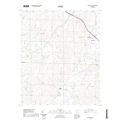 2020 Henson Springs2020 Print · USGSMarion and Lamar counties meet in this recent survey of the Alabama countryside, where the Buttahatchee River shapes the local landscape. Genealogists can trace numerous family landmarks, from the Cantrell Family Cem to the namesake Henson Spring.
 - 2020 Map of Detroit, 2020 Print
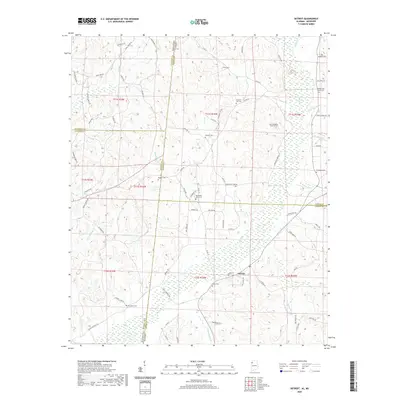 2020 Detroit2020 Print · USGSThe Alabama-Mississippi border comes alive in this survey of the region surrounding Detroit. Researchers can locate nearly a dozen local burial sites, including Riddicell Cem and Carter Cem, or trace the winding course of Sipsey Cr.
 - 2020 Map of Beaverton, 2020 Print
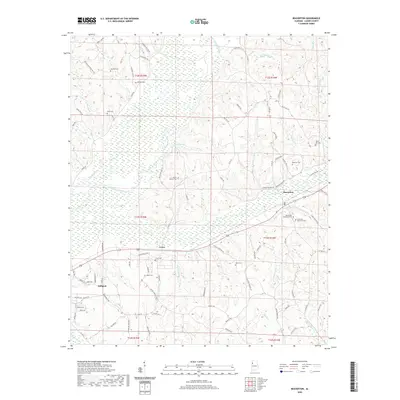 2020 Beaverton2020 Print · USGSLamar County at the start of the 2020s shows a landscape deeply rooted in its rural heritage between Beaverton and Sulligent. Researchers can trace local family lineages through sites like Crews Cem, Nolen Cem, and the Sizemore Memorial Cem.
 - 2020 Map of Fernbank, 2020 Print
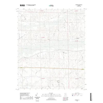 2020 Fernbank2020 Print · USGSLamar County and the community of Fernbank are documented here as they appeared in 2020. Researchers can trace family roots through several local burial grounds including Old Harmony Cem, Spring Hill Cem, and Andrews Chapel Cem.
 - 2020 Map of Sulligent SW, 2020 Print
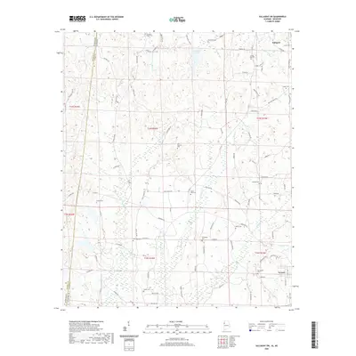 2020 Sulligent SW2020 Print · USGSLamar County, Alabama, near the Mississippi border, is mapped here in the modern era, revealing a landscape of rural cemeteries and winding creek beds. Researchers can locate local landmarks like Springfield Cem, Sulligent Lake, and Shiloh Cem.
 - 2020 Map of Millport NW, 2020 Print
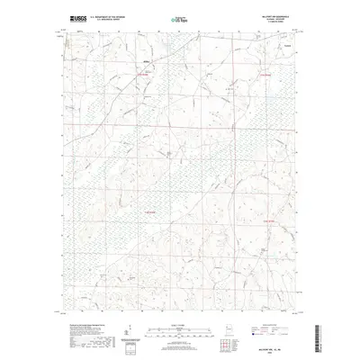 2020 Millport NW2020 Print · USGSLamar County, Alabama, remains a landscape of family-run farms and quiet creek bottoms in the modern era. Genealogists can trace family names through numerous burial grounds like Mount Nebo Cem and Sailor Cem or along Cargill Rd.
 - 2020 Map of Bluff, 2020 Print
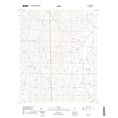 2020 Bluff2020 Print · USGSThe rural borderlands of Lamar and Fayette counties are captured here in the early twenty-first century, showing a landscape defined by creeks and family heritage. Genealogists can locate numerous burial sites like Old Antioch Cemetery and Spring Hill Cemetery tucked among the hills near Bluff.
 - 2020 Map of Kennedy, 2020 Print
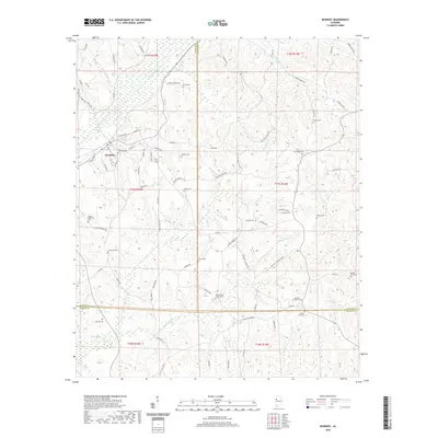 2020 Kennedy2020 Print · USGSThe rural town of Kennedy and its surrounding tri-county borderlands are documented here in recent detail. Researchers can pinpoint numerous family-named landmarks and historic burial sites such as New Wesley Chapel Cem, Mount Zion Cem, and Wilson Cem.
 - 2020 Map of Guin, 2020 Print
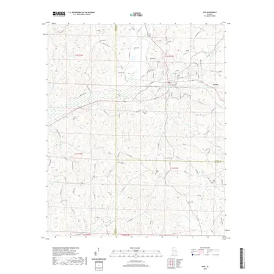 2020 Guin2020 Print · USGSMarion County at the turn of the decade is centered on the growing towns of Guin and Gu-Win. Local historians can trace family roots through a high concentration of burial grounds like Seven Oaks Cem, Mosley Cem, and Love Joy Cem.
 - 2020 Map of Belk, 2020 Print
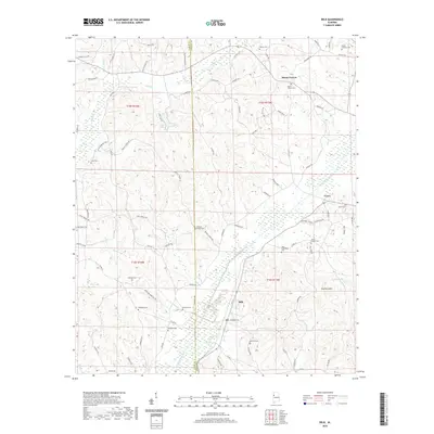 2020 Belk2020 Print · USGSBelk and the rural landscapes of Lamar and Fayette counties are captured here in the early twenty-first century. Genealogists can trace family names at Wesleys Chapel Cem, Bethabra Cem, and Antioch Cem near Scareum Mtn.
 - 2020 Map of Hamilton SW, 2020 Print
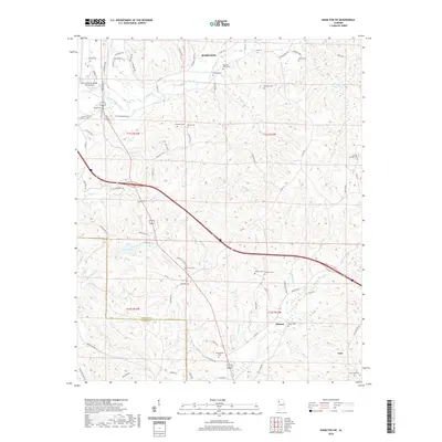 2020 Hamilton SW2020 Print · USGSMarion County south of Hamilton is documented here in the early twenty-first century as a landscape of rural creek valleys and community cemeteries. Genealogists can trace family landmarks like Philadelphia Cem, Green Springs Cem, and the waters of the Buttahatchee River.
 - 2020 Map of Sulligent, 2020 Print
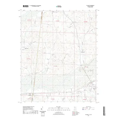 2020 Sulligent2020 Print · USGSThe borderlands of Alabama and Mississippi come alive in this survey of the river country near the turn of the decade. Genealogists and historians can trace family locations through numerous sites like Macedonia Cem, Pine Springs, and Gattman.
 - 2020 Map of Caledonia, 2020 Print
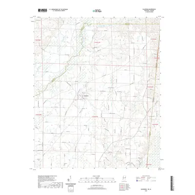 2020 Caledonia2020 Print · USGSCaledonia and the surrounding Lowndes County borderlands are documented here in the early twenty-first century. Genealogists and local historians can trace family locations near Unity Cem, the small settlement of Sturdivant, and along the banks of the Buttahatchee River.
 - 2020 Map of Steens, 2020 Print
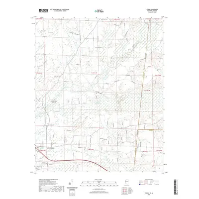 2020 Steens2020 Print · USGSThe borderlands of Mississippi and Alabama come into focus in this recent survey of the rural landscape around Steens. Family history researchers can locate several legacy burial grounds including Tabernacle Cem, Lanier Cem, and the waters of Jamisons Mill Pond.
 - 2024 Map of Caledonia, 2024 Print
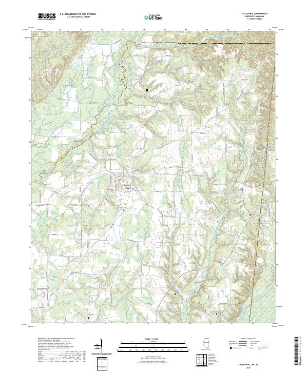 2024 Caledonia2024 Print · USGSNortheast Mississippi’s river country is captured here in the early twenty-first century, centered on the settlement of Caledonia. Researchers can trace old family burial sites like Lone Oak Cem and locate historic river crossings at Gallagher Ferry and Kölbs Ferry.
 - 2024 Map of Fernbank, 2024 Print
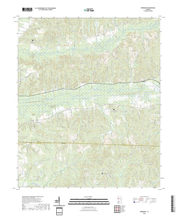 2024 Fernbank2024 Print · USGSThe Lamar and Pickens County border comes to life in this recent survey, showcasing the rural heart of western Alabama. Researchers can trace family history at Old Harmony Cem or follow the waters of Luxapallila Creek and Speeds Lake.
 - 2024 Map of Detroit, 2024 Print
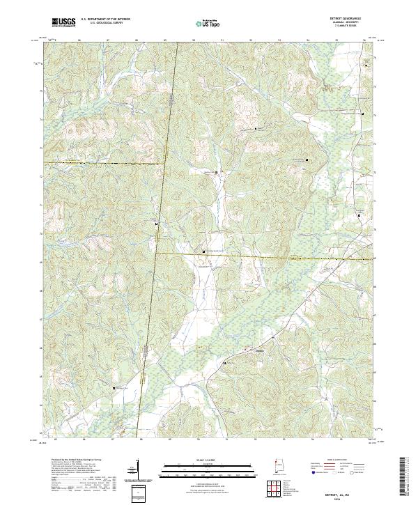 2024 Detroit2024 Print · USGSThe rural borderlands of Alabama and Mississippi are captured here in the contemporary era, centered on the settlement of Detroit. Genealogists can trace family heritage through numerous burial sites like Carter Cem, Shelton Cem, and Riggins Cem.
 - 2024 Map of Beaverton, 2024 Print
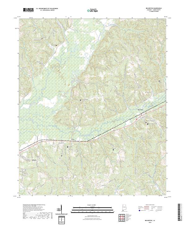 2024 Beaverton2024 Print · USGSLamar County, Alabama, is documented here in the early twenty-first century, showing the enduring rural layout of the Buttahatchee River valley. Researchers can trace family landmarks and local heritage at Beaverton Memorial Cem, Crews, and Nolen Cem.
 - 2024 Map of Hightogy, 2024 Print
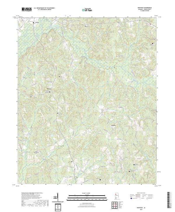 2024 Hightogy2024 Print · USGSLamar County's rural communities and creek valleys are documented here in the early 2020s, showing a landscape defined by local landmarks. Genealogists can trace family names through numerous burial sites like South Carolina Cem, Vernon Cem, and New Hope Cem.
 - 2024 Map of Millport NW, 2024 Print
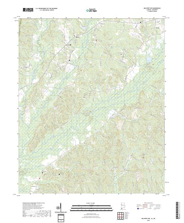 2024 Millport NW2024 Print · USGSThe hills of Lamar County are captured here in the 2020s, showcasing a landscape defined by small communities and family burial grounds. Genealogists can trace local history at Furnace Hill Cem, Molloy, and Poplar Springs Cem.
 - 2024 Map of Belk, 2024 Print
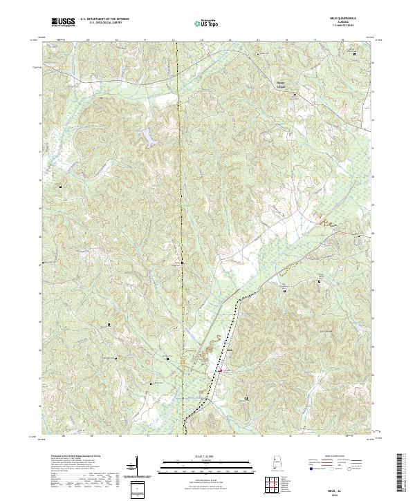 2024 Belk2024 Print · USGSThe rural borderlands of Fayette and Lamar counties are captured here in a moment of quiet continuity. Genealogists and local historians can trace family ties through numerous sites like Wesley Chapel Cem, Bethabra Cem, and Scareum Mtn.
 - 2024 Map of Bluff, 2024 Print
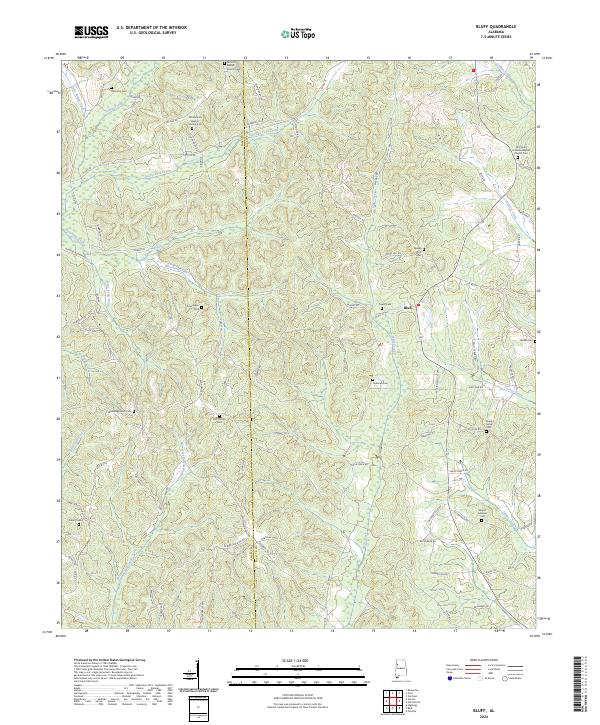 2024 Bluff2024 Print · USGSThe border of Lamar and Fayette counties comes alive in this study of rural Alabama. Genealogists and historians can trace family ties through numerous local landmarks, including Old Antioch Baptist Church Cem, Liberty Cem, and the community at Bluff.
Showing maps 1-25 of 34
Top cities of Lamar County
- Vernon historical maps
- Sulligent historical maps
- Millport historical maps
- Kennedy historical maps
- Detroit historical maps
- Beaverton historical maps
Frequently asked questions
- What are the different types of historical maps available for Lamar County?
- What is the oldest map of Lamar County?
- Where can I purchase historical maps of Lamar County for my home or office?
- Where can I download high-res historical maps of Lamar County?
- Are there historical topographic maps available for Lamar County?
- Is there historical aerial imagery available for Lamar County?
- Where are historical maps of Lamar County sourced from?