2020s Maps of Lee County, Alabama
Explore 32 historic maps of Lee County from the 2020s. These maps offer a rare glimpse into what life looked like during the 2020s — showing old roads, neighborhoods, homes, and landmarks that have changed or disappeared over time.
Whether you're researching your family's past, planning a metal detecting trip, or studying how Lee County's landscape evolved across the 2020s, these high-resolution maps are a powerful tool for exploring the history of this region.
- Focus on a specific era: All maps on this page are from the 2020s, giving you a focused view of this time period.
- See what’s changed: Compare century-old streets, trails, and buildings to today's modern landscape using overlays and satellite layers.
- Research with precision: Use these maps for genealogy, historical research, land use analysis, or educational projects.
- View, download, or print: Maps are fully viewable online in high resolution, and can be downloaded or printed for your own records.
Start exploring Lee County's history through authentic maps from the 2020s. This is your window into the past.
Lee County, AL maps
(32)- 2020 Map of Bartletts Ferry Dam, 2020 Print
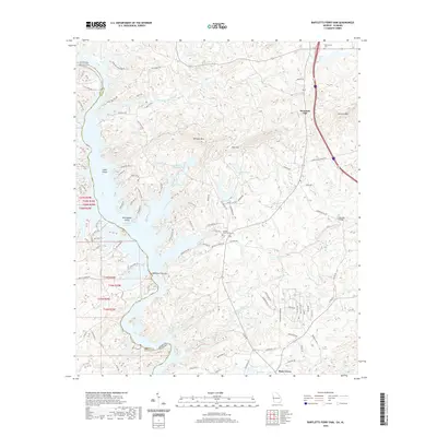 2020 Bartletts Ferry Dam2020 Print · USGSThe Georgia-Alabama borderland comes alive in this survey of the Chattahoochee River valley. Local historians can trace family roots at Antioch Cem or study the engineering of the Bartletts Ferry Dam and the waters of Lake Harding.
 - 2020 Map of Opelika West, 2020 Print
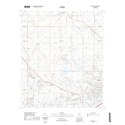 2020 Opelika West2020 Print · USGSAuburn and Opelika are shown here during a period of modern expansion in eastern Alabama. Genealogists and local historians can trace legacy sites like Oak Bowery Cem, Pepperell, and the distinctive location known as The Bottle.
 - 2020 Map of Beulah, 2020 Print
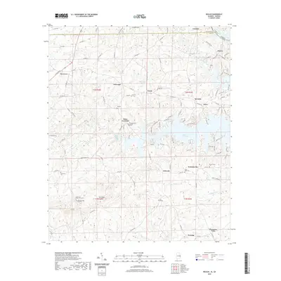 2020 Beulah2020 Print · USGSEast Alabama and the Georgia border are mapped here during the modern era, centered on the expansive waters of Bartletts Ferry Lake. Researchers can trace rural lineages through numerous local sites like Beulah Cem, Mechanicsville, and Pitts Chapel Cem.
 - 2020 Map of Phenix City, 2020 Print
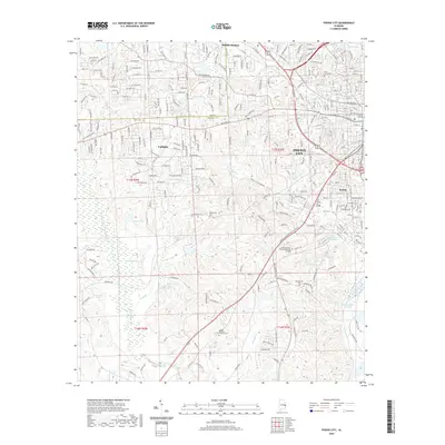 2020 Phenix City2020 Print · USGSPhenix City and the surrounding Russell County hills show significant suburban growth and industrial heritage in the 2020s. Genealogists and local historians can locate several rural burial grounds like Edmonds Cemetery and trace the namesake clay pits near Kaolin.
 - 2020 Map of Bleecker, 2020 Print
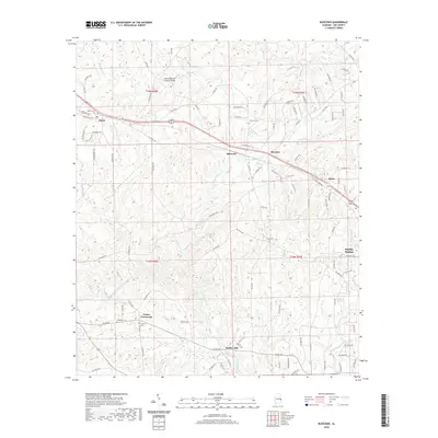 2020 Bleecker2020 Print · USGSLee County near the Georgia border is shown here in the modern era as a landscape of rural crossroads and historical landmarks. Researchers can trace the locations of the Salem-Shotwell Covered Bridge, Moffits Mill, and several family cemeteries like Stroud Cem.
 - 2020 Map of Marvyn, 2020 Print
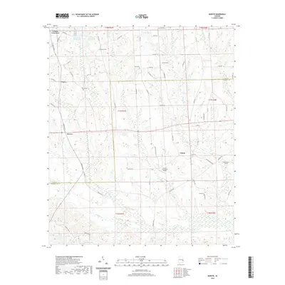 2020 Marvyn2020 Print · USGSThe crossroads of Lee and Russell counties are captured in the modern era as they maintain their quiet rural character. Researchers can trace family-named sites like Dupree Cem and Uhland, or locate aviation landmarks such as Finkley Farm Airport.
 - 2020 Map of Parkers Crossroads, 2020 Print
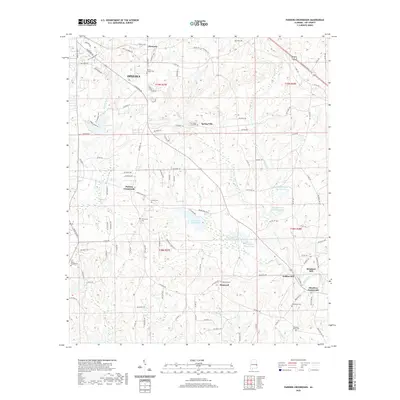 2020 Parkers Crossroads2020 Print · USGSSoutheastern Lee County appears here in the contemporary era, showing the rural fringes of Opelika and its surrounding mill seats. Genealogists can trace family heritage through the Penn Young Gravesite, Brown Cem, and the historic mills at Griffen Mill.
 - 2020 Map of Waverly, 2020 Print
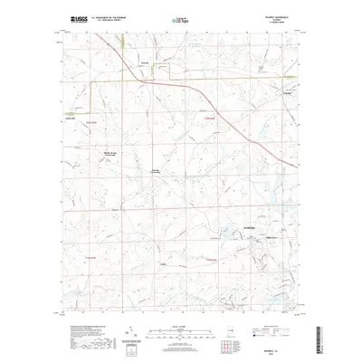 2020 Waverly2020 Print · USGSThe rural stretches of Lee and Chambers counties are captured here in the early twenty-first century as modern Auburn begins to meet traditional crossroads. Researchers can trace family history through several local landmarks including Waverly Cem, Gold Hill Cem, and the Maddox Family Cem.
 - 2020 Map of Thornton, 2020 Print
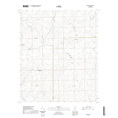 2020 Thornton2020 Print · USGSThe rural borders of Tallapoosa and Lee Counties are captured in this modern survey of the Alabama Piedmont. Genealogists and local historians can trace family ties at Meadows-Robinson Cem, Roxana Cem, and the community at Simmons Crossroads.
 - 2020 Map of Crawford, 2020 Print
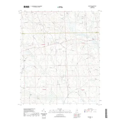 2020 Crawford2020 Print · USGSThe Alabama borderlands south of Opelika appear here in the early twenty-first century, showing a landscape defined by the winding Little Uchee Creek. Genealogists can locate family burial grounds like Bennett Cem and Jowers Cem among the many small ponds and farm roads.
 - 2020 Map of Society Hill, 2020 Print
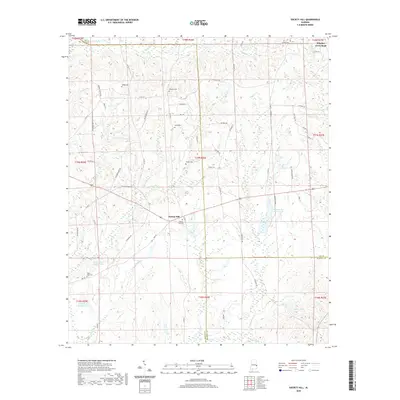 2020 Society Hill2020 Print · USGSSociety Hill and the surrounding Alabama countryside are captured here in the early twenty-first century, showing a landscape of family lands and rural crossroads. Genealogists can trace local heritage through numerous burial sites like Wright Cem and Society Hill Cem near the banks of Opintlocco Cr.
 - 2020 Map of Opelika East, 2020 Print
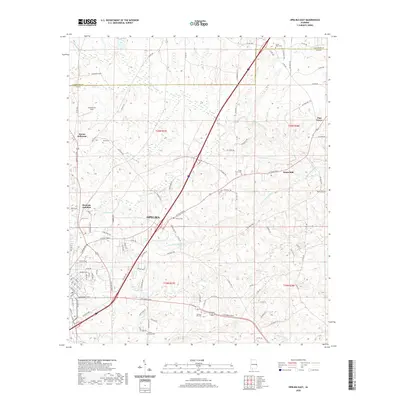 2020 Opelika East2020 Print · USGSOpelika and the rural reaches of Lee County are shown here in recent years as the area continues to grow along its historic corridors. Researchers can trace the heritage of local families and communities through Beans Mill, Roanoke Junction, and Sweet Hope Cemetery.
 - 2020 Map of Auburn, 2020 Print
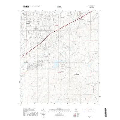 2020 Auburn2020 Print · USGSThe growing university corridor between Auburn and Opelika comes into sharp focus in this recent study of Lee County. Researchers can trace established family legacies at Pine Hill Cem or locate the rural junctions of Mitchell Crossroads and Wright Crossroads.
 - 2020 Map of Smiths Station, 2020 Print
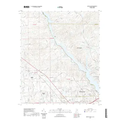 2020 Smiths Station2020 Print · USGSThe Alabama-Georgia borderlands come to life in this contemporary survey of the river country near Columbus. Researchers can trace the development of Smiths Station and locate local landmarks like Bethel Mission Cem and Phillips Island.
 - 2021 Map of Notasulga, 2021 Print
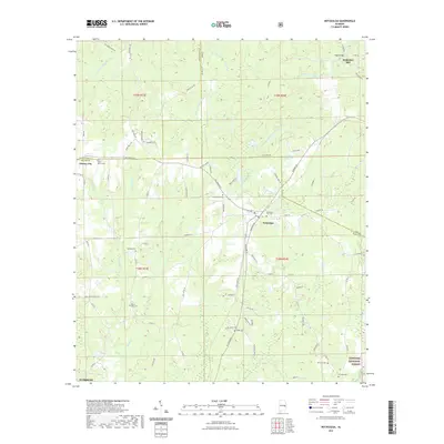 2021 Notasulga2021 Print · USGSNotasulga and the surrounding rural districts of Macon and Lee Counties are captured here in the early twenty-first century. Researchers can trace ancestral locations and local landmarks like McRitchie Mill, Shiloh Cemetery, and the Tuskegee National Forest.
 - 2021 Map of Loachapoka, 2021 Print
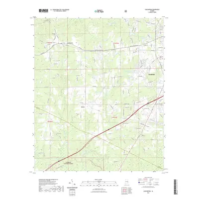 2021 Loachapoka2021 Print · USGSThe western edges of Auburn and the historic community of Loachapoka appear here during a period of modern growth and rural preservation. Genealogists can trace family landmarks like Armstrong Cem, the Lewis Allen Foster Family Cem, and Vaughans Mill-Pond.
 - 2024 Map of Phenix City, 2024 Print
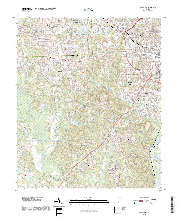 2024 Phenix City2024 Print · USGSPhenix City and the bordering Lee and Russell county lines are shown in modern detail during this recent survey. Local historians can trace family sites at Abercrombie Cem or Dudleyville Cem and follow the paths of Mill Creek and Cochgalechee Creek.
 - 2024 Map of Society Hill, 2024 Print
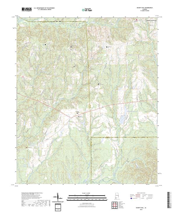 2024 Society Hill2024 Print · USGSSociety Hill and the tri-county borderlands of Macon, Lee, and Russell are documented here in their modern rural state. Researchers can trace family history through numerous remote burial sites like Bethel Baptist Cem and Cobbs Cem while navigating the creek-carved landscape of Opintlocco Creek.
 - 2024 Map of Opelika West, 2024 Print
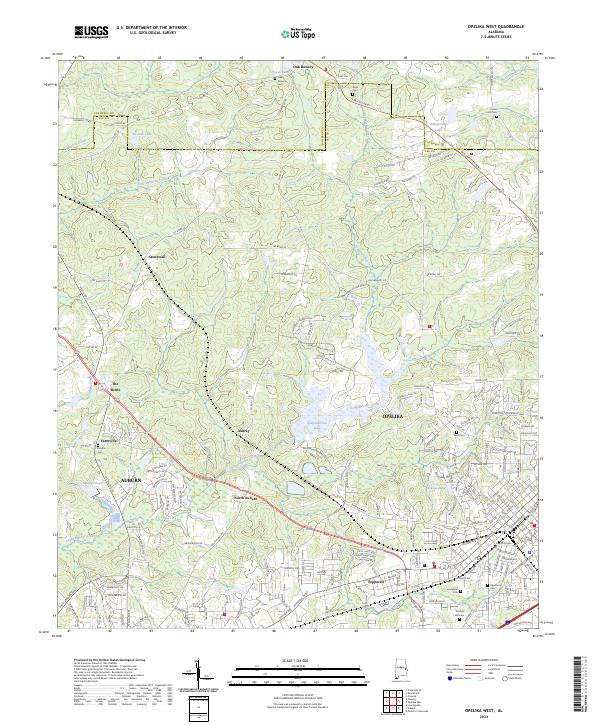 2024 Opelika West2024 Print · USGSLee and Chambers Counties in 2024 see the modern outskirts of Auburn and Opelika surrounding established rural communities. Researchers can trace historical sites like The Bottle and numerous cemeteries including Oak Bowery Cem and Union Hill Cem.
 - 2024 Map of Crawford, 2024 Print
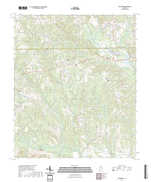 2024 Crawford2024 Print · USGSRussell County, Alabama, is shown here in the 2020s, defined by the convergence of Uchee Creek and Hospilika Creek. Researchers can trace local family lineages through Crawford Cem and Phillips-Barnett Cem, or locate the Finkley Farm Airport near Hugley.
 - 2024 Map of Marvyn, 2024 Print
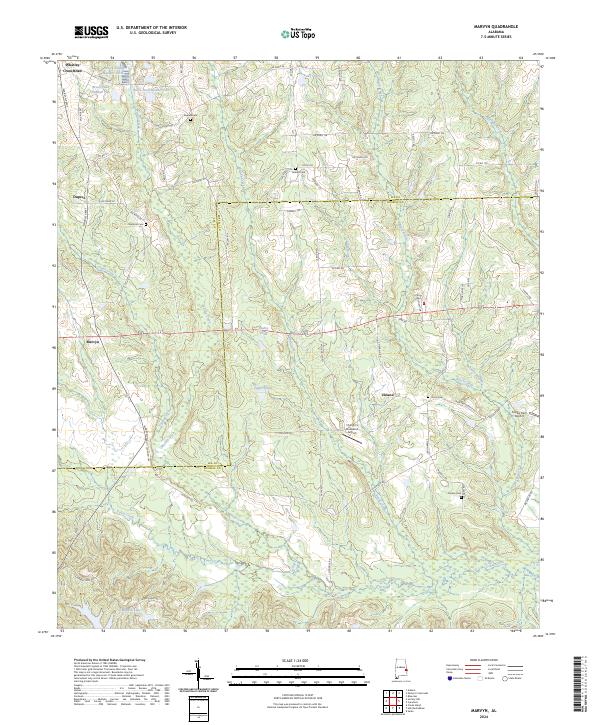 2024 Marvyn2024 Print · USGSThe rural borders of Lee and Russell Counties come into focus in this contemporary study of the Alabama countryside. Genealogists and local historians can trace family plots at Watoola Cem or locate the small airfields at Flying C's Plantation Airport and Finkley Farm Airport.
 - 2024 Map of Thornton, 2024 Print
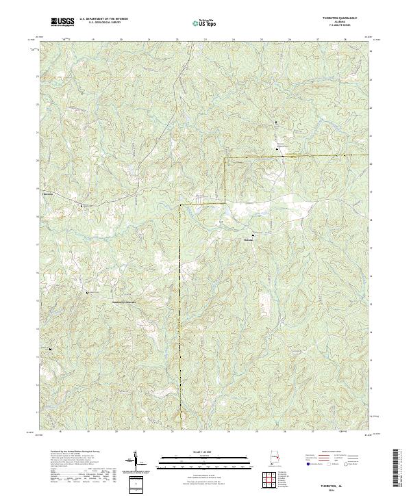 2024 Thornton2024 Print · USGSTallapoosa and Lee counties are shown here as they appeared in recent years, centered on rural farming communities. Genealogists can trace family landmarks at New Hope Cem, Simmons Crossroads, and the settlement of Roxana.
 - 2024 Map of Waverly, 2024 Print
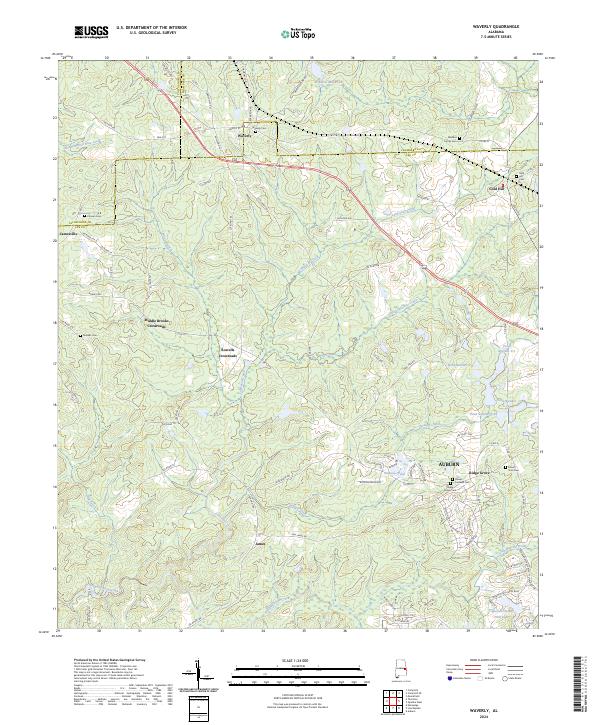 2024 Waverly2024 Print · USGSIn the rural borderlands of Chambers and Lee counties, this modern survey shows the enduring settlement patterns of central Alabama. Genealogists and historians can trace family ties through Waverly Cem, Gold Hill, and Middle Brooks Crossroads.
 - 2024 Map of Parkers Crossroads, 2024 Print
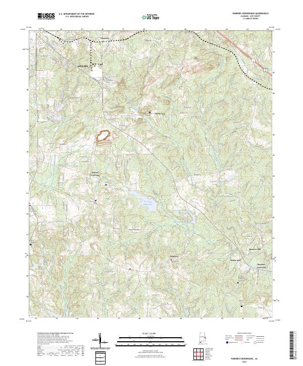 2024 Parkers Crossroads2024 Print · USGSSoutheast of Opelika in the 2020s, this area of Lee County reveals a landscape shaped by creek-side industry and quiet rural settlements. Researchers can trace family history through sites like Griffen Mill, Hopewell Cem, and the Penn-Yonge Gravesite near Spring Villa.
 - 2024 Map of Bleecker, 2024 Print
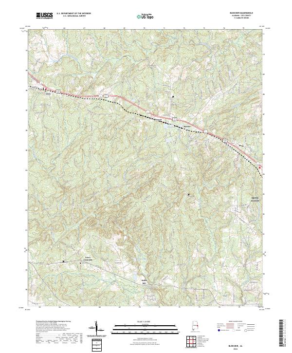 2024 Bleecker2024 Print · USGSThe rural roads and creek valleys of Lee County come alive in this survey of the Alabama-Georgia borderlands. Genealogists can trace family histories through numerous local burial grounds like Salem Cem and Antioch Cem, or locate landmarks like Moffits Mill.
Showing maps 1-25 of 32
Top cities of Lee County
- Auburn historical maps
- Opelika historical maps
- Smiths Station historical maps
- Loachapoka historical maps
Frequently asked questions
- What are the different types of historical maps available for Lee County?
- What is the oldest map of Lee County?
- Where can I purchase historical maps of Lee County for my home or office?
- Where can I download high-res historical maps of Lee County?
- Are there historical topographic maps available for Lee County?
- Is there historical aerial imagery available for Lee County?
- Where are historical maps of Lee County sourced from?