2000s (21st Century) Maps of Lee County, Alabama
Explore 80 historic maps of Lee County from the 2000s (21st Century). These maps offer a rare glimpse into what life looked like during the 2000s — showing old roads, neighborhoods, homes, and landmarks that have changed or disappeared over time.
Whether you're researching your family's past, planning a metal detecting trip, or studying how Lee County's landscape evolved across the 2000s, these high-resolution maps are a powerful tool for exploring the history of this region.
- Focus on a specific era: All maps on this page are from the 2000s, giving you a focused view of this time period.
- See what’s changed: Compare century-old streets, trails, and buildings to today's modern landscape using overlays and satellite layers.
- Research with precision: Use these maps for genealogy, historical research, land use analysis, or educational projects.
- View, download, or print: Maps are fully viewable online in high resolution, and can be downloaded or printed for your own records.
Start exploring Lee County's history through authentic maps from the 2000s. This is your window into the past.
Lee County, AL maps
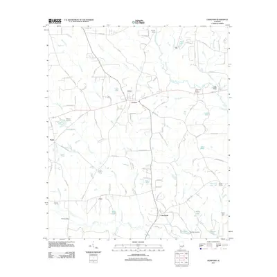
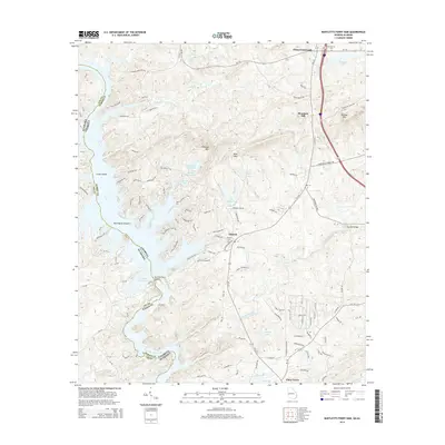
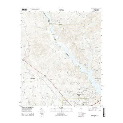
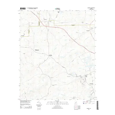
(80)- 2011 Map of Smiths Station, 2011 Print
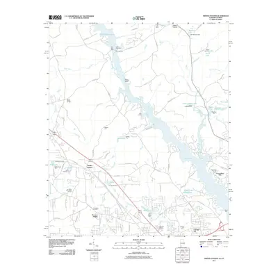 2011 Smiths Station2011 Print · USGSCovers Lee County, including Columbus, Phenix City, and other nearby areas2 unique versions available
 - 2011 Map of Beulah, 2011 Print
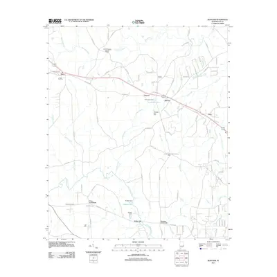
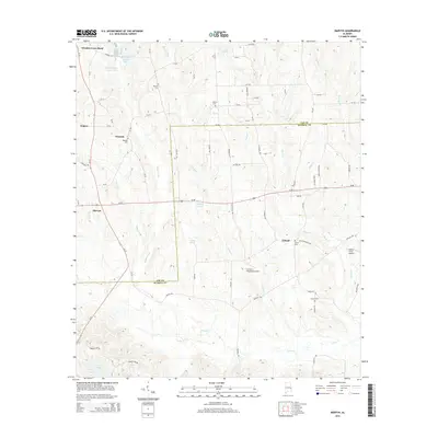
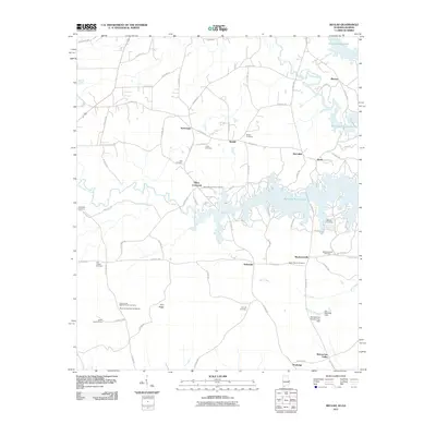 2011 Beulah2011 Print · USGSCovers Lee County, including Valley, Blanton, and other nearby areas2 unique versions available
 - 2011 Map of Bartletts Ferry Dam, 2011 Print
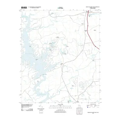 2011 Bartletts Ferry Dam2011 Print · USGSCovers Lee County, including Antioch, Piney Grove, and other nearby areas
 - 2011 Map of Parkers Crossroads, 2011 Print
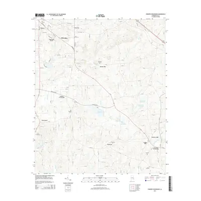
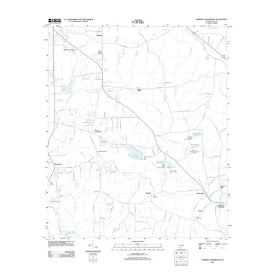 2011 Parkers Crossroads2011 Print · USGSCovers Lee County, including Opelika, Griffen Mill, and other nearby areas
 - 2011 Map of Thornton, 2011 Print
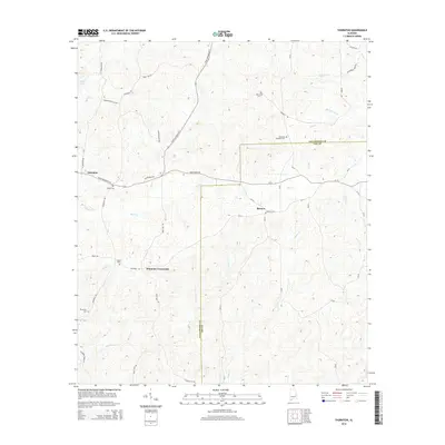
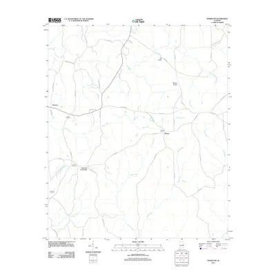 2011 Thornton2011 Print · USGSCovers Lee County, including Thornton, Roxana, and other nearby areas
 - 2011 Map of Crawford, 2011 Print
 2011 Crawford2011 Print · USGSCovers Lee County, including Crawford, Hugley, and other nearby areas
 - 2011 Map of Phenix City, 2011 Print
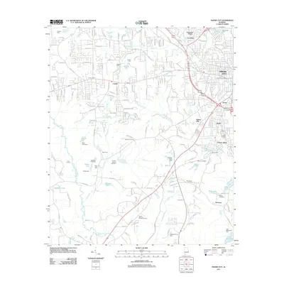 2011 Phenix City2011 Print · USGSCovers Lee County, including Phenix City, Smiths Station, and other nearby areas
 - 2011 Map of Waverly, 2011 Print
 2011 Waverly2011 Print · USGSCovers Lee County, including Auburn, Waverly, and other nearby areas
 - 2011 Map of Loachapoka, 2011 Print
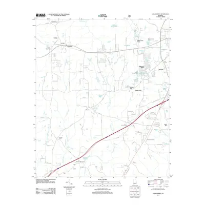 2011 Loachapoka2011 Print · USGSCovers Lee County, including Auburn, Loachapoka, and other nearby areas
 - 2011 Map of Marvyn, 2011 Print
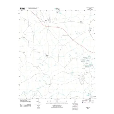
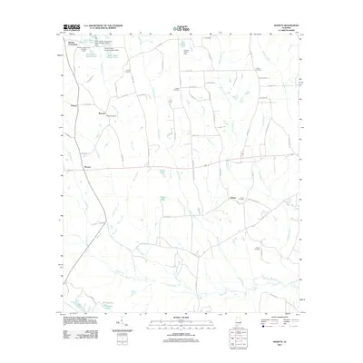 2011 Marvyn2011 Print · USGSCovers Lee County, including Whatley Cross Road, Marvyn, and other nearby areas
 - 2011 Map of Notasulga, 2011 Print
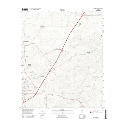
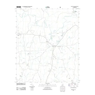 2011 Notasulga2011 Print · USGSCovers Lee County, including Tuskegee, Notasulga, and other nearby areas
 - 2011 Map of Opelika East, 2011 Print
 2011 Opelika East2011 Print · USGSCovers Lee County, including Opelika, Pine Grove, and other nearby areas
 - 2011 Map of Bleecker, 2011 Print
 2011 Bleecker2011 Print · USGSCovers Lee County, including Smiths Station, Motts, and other nearby areas
 - 2011 Map of Society Hill, 2011 Print
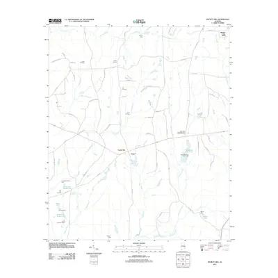 2011 Society Hill2011 Print · USGSCovers Lee County, including Society Hill, Russell County, and other nearby areas
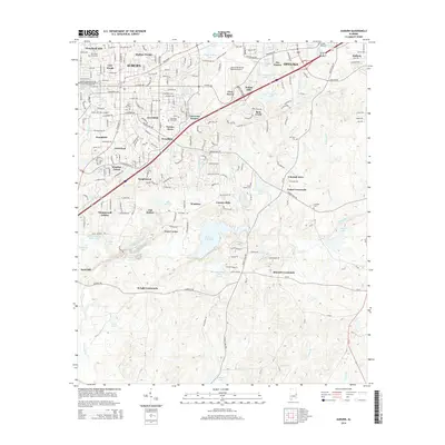
 - 2011 Map of Auburn, 2011 Print
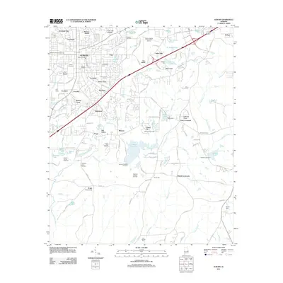 2011 Auburn2011 Print · USGSCovers Lee County, including Auburn, Opelika, and other nearby areas
 - 2011 Map of Opelika West, 2011 Print
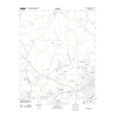 2011 Opelika West2011 Print · USGSCovers Lee County, including Auburn, Opelika, and other nearby areas
 - 2014 Map of Bartletts Ferry Dam, 2014 Print
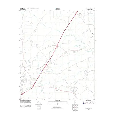
 2014 Bartletts Ferry Dam2014 Print · USGSCovers Lee County, including Antioch, Piney Grove, and other nearby areas
 - 2014 Map of Opelika East, 2014 Print
 2014 Opelika East2014 Print · USGSCovers Lee County, including Opelika, Pine Grove, and other nearby areas
 - 2014 Map of Auburn, 2014 Print
 2014 Auburn2014 Print · USGSCovers Lee County, including Auburn, Opelika, and other nearby areas
 - 2014 Map of Parkers Crossroads, 2014 Print
 2014 Parkers Crossroads2014 Print · USGSCovers Lee County, including Opelika, Griffen Mill, and other nearby areas
 - 2014 Map of Marvyn, 2014 Print
 2014 Marvyn2014 Print · USGSCovers Lee County, including Whatley Cross Road, Marvyn, and other nearby areas
 - 2014 Map of Smiths Station, 2014 Print
 2014 Smiths Station2014 Print · USGSCovers Lee County, including Columbus, Phenix City, and other nearby areas
 - 2014 Map of Thornton, 2014 Print
 2014 Thornton2014 Print · USGSCovers Lee County, including Thornton, Roxana, and other nearby areas
 - 2014 Map of Society Hill, 2014 Print
 2014 Society Hill2014 Print · USGSCovers Lee County, including Society Hill, Russell County, and other nearby areas
 - 2014 Map of Waverly, 2014 Print
 2014 Waverly2014 Print · USGSCovers Lee County, including Auburn, Waverly, and other nearby areas
Showing maps 1-25 of 80
Top cities of Lee County
- Auburn historical maps
- Opelika historical maps
- Smiths Station historical maps
- Loachapoka historical maps
Frequently asked questions
- What are the different types of historical maps available for Lee County?
- What is the oldest map of Lee County?
- Where can I purchase historical maps of Lee County for my home or office?
- Where can I download high-res historical maps of Lee County?
- Are there historical topographic maps available for Lee County?
- Is there historical aerial imagery available for Lee County?
- Where are historical maps of Lee County sourced from?