Old Maps of Fort Deposit, Alabama for Hiking & Exploration
Hike through history with 19 historic maps of Fort Deposit. Explore old trails, ghost towns, and forgotten backroads — perfect for outdoor adventurers and local explorers.
- Rediscover forgotten places: Map out old mining camps, roads, and footpaths that no longer exist on modern maps.
- Layer with modern tools: Combine with LiDAR or satellite views to plan hikes through historical terrain.
- Made for exploration: Popular among hikers, overlanders, and local history lovers.
Use these maps to find adventure and explore the hidden past of Fort Deposit.
Fort Deposit, AL maps
(19)- 1953 Map of Montgomery, 1964 Print
 1953 Montgomery1964 Print · USGSCentral Alabama's river-and-rail corridor is mapped here in the mid-fifties, showing the vital connections between the capital and the Black Belt. Genealogists and historians can trace rail depots and crossroads from Marion Junction to Wetumpka, alongside landmarks like Craig AFB.4 unique versions available
 - 1953 Map of Andalusia, 1965 Print
 1953 Andalusia1965 Print · USGSSouth Alabama in the mid-twentieth century remains a land of pine forests and river-fed settlements. You can trace the vital rail corridors of the Louisville & Nashville and locate regional centers such as Andalusia, Brewton, and Monroeville.3 unique versions available
 - 1956 Map of Montgomery
 1956 Montgomery1956 Print · USGSCentral Alabama in the mid-1950s shows a landscape defined by its great river systems and a booming military aviation presence. Genealogists and historians can trace the rail corridors of the Southern Railway and locate tactical bases like Maxwell AFB and Craig AFB.
 - 1957 Map of Montgomery
 1957 Montgomery1957 Print · USGSCentral Alabama in the mid-fifties is defined by the winding Alabama River and a strategic network of military bases and rail lines. Trace family roots in Montgomery and Selma, or locate landmarks like Craig AFB and the State Capitol before the interstate era.
 - 1957 Map of Andalusia
 1957 Andalusia1957 Print · USGSSouthern Alabama in the mid-1950s was a landscape defined by timbered stretches and the rhythmic flow of the Alabama River. Researchers can trace the legacy of the rail era through the Central of Georgia tracks and the storied river bluffs at Choctaw Bluff.
 - 1971 Map of Fort Deposit, 1973 Print
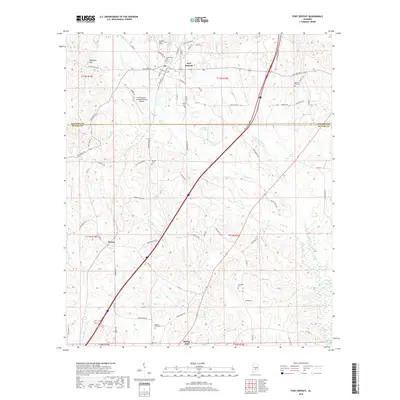
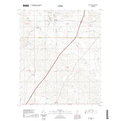
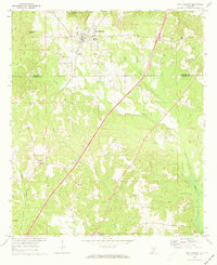 1971 Fort Deposit1973 Print · USGSFort Deposit and the surrounding hill country of Lowndes and Butler counties are captured here in the early seventies. Genealogists and local historians can trace family landmarks like Myrtlewood Cemetery, Indian Hill Church, and the rural community of Searey.2 unique versions available
 - 1981 Map of Calhoun
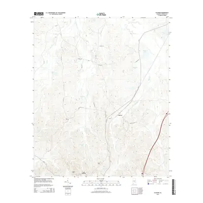
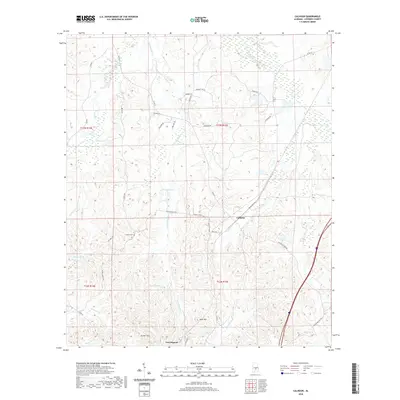
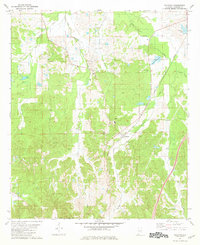 1981 Calhoun1981 Print · USGSLowndes County's rural character and rail connections are visible here in the early 1980s, focused on the settlement of Calhoun. Researchers can trace the Louisville and Nashville rail line and locate community hubs like Big Union Ch and New Hope.
 - 1986 Map of Montgomery
 1986 Montgomery1986 Print · USGSCentral Alabama's river-and-rail corridor is captured in the mid-1980s, centered on the state capital and its surrounding rural counties. Researchers can trace ancestral landmarks like Oakwood Cemetery, military sites like Maxwell Air Force Base, and small towns such as Lowndesboro.2 unique versions available
 - 1986 Map of Greenville
 1986 Greenville1986 Print · USGSMid-century South Central Alabama comes alive in this survey of the creek-laced timberlands and rail-dependent towns between the Gulf Coastal Plain and the Piedmont. Researchers can trace family roots through numerous country landmarks like Magnolia Cem, Spring Hill Ch, and the Butler County State Wildlife Management Area.2 unique versions available
 - 2011 Map of Fort Deposit, 2011 Print
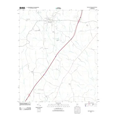 2011 Fort Deposit2011 Print · USGSCovers Fort Deposit, including Searcy, Butler County, and other nearby areas
 - 2011 Map of Calhoun, 2011 Print
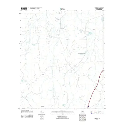 2011 Calhoun2011 Print · USGSCovers Fort Deposit, including Calhoun, Lowndes County, and other nearby areas
 - 2014 Map of Calhoun, 2014 Print
 2014 Calhoun2014 Print · USGSCovers Fort Deposit, including Calhoun, Lowndes County, and other nearby areas
 - 2014 Map of Fort Deposit, 2014 Print
 2014 Fort Deposit2014 Print · USGSCovers Fort Deposit, including Searcy, Butler County, and other nearby areas
 - 2018 Map of Fort Deposit, 2018 Print
 2018 Fort Deposit2018 Print · USGSCovers Fort Deposit, including Searcy, Butler County, and other nearby areas
 - 2018 Map of Calhoun, 2018 Print
 2018 Calhoun2018 Print · USGSCovers Fort Deposit, including Calhoun, Lowndes County, and other nearby areas
 - 2020 Map of Calhoun, 2020 Print
 2020 Calhoun2020 Print · USGSCovers Fort Deposit, including Calhoun, Lowndes County, and other nearby areas
 - 2020 Map of Fort Deposit, 2020 Print
 2020 Fort Deposit2020 Print · USGSCovers Fort Deposit, including Searcy, Butler County, and other nearby areas
 - 2024 Map of Fort Deposit, 2024 Print
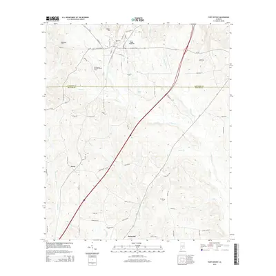
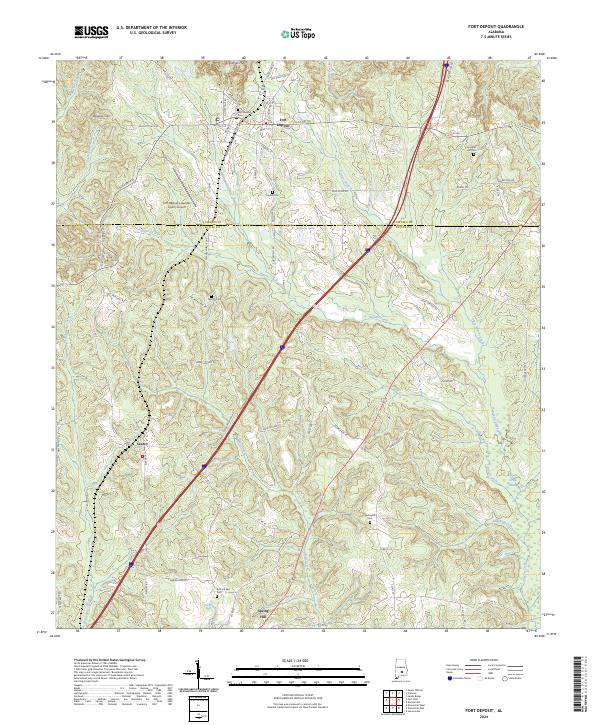 2024 Fort Deposit2024 Print · USGSSouthern Lowndes County is documented here at the turn of the decade, where the ridge-top settlement of Fort Deposit overlooks a complex network of creeks. Genealogists can trace family roots through several local burial grounds, including Myrtlewood Cem and Springhill Cem, or locate the rural communities of Searcy and Spring Hill.
 - 2024 Map of Calhoun, 2024 Print
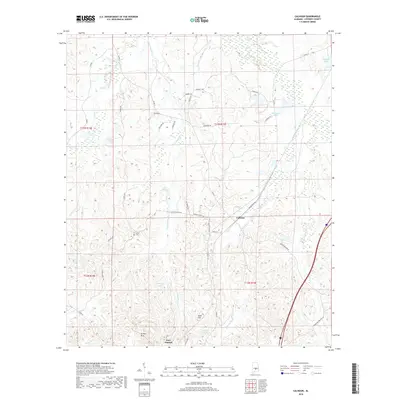
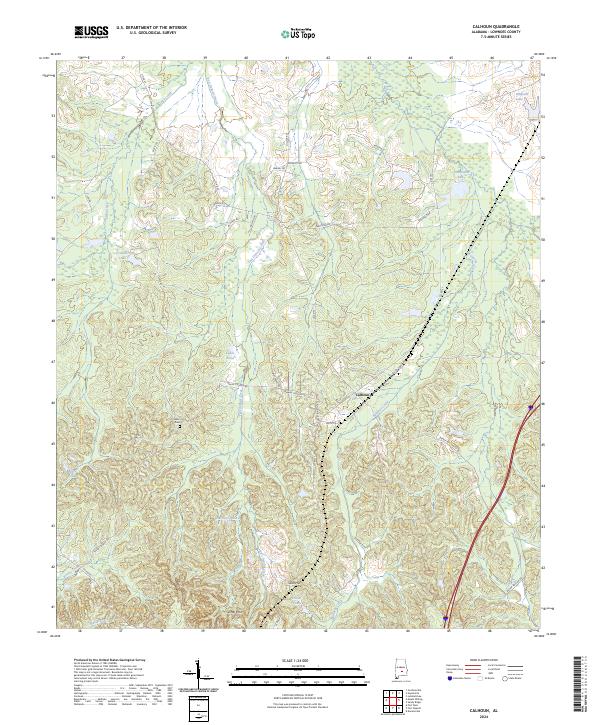 2024 Calhoun2024 Print · USGSCalhoun and the surrounding Lowndes County hills are captured here in a detailed modern snapshot of this rural Alabama community. Genealogists and local researchers can trace family-named landmarks and historical sites like Salem Cem, Gilmer Hills, and Fort Deposit Creek.
End of results
Showing maps 1-19 of 19
Top cities near Fort Deposit
- Greenville historical maps
- Mosses historical maps
- Hayneville historical maps
- Gordonville historical maps
Frequently asked questions
- What are the different types of historical maps available for Fort Deposit?
- What is the oldest map of Fort Deposit?
- Where can I purchase historical maps of Fort Deposit for my home or office?
- Where can I download high-res historical maps of Fort Deposit?
- Are there historical topographic maps available for Fort Deposit?
- Is there historical aerial imagery available for Fort Deposit?
- Where are historical maps of Fort Deposit sourced from?