2020s Maps of Huntsville, Alabama
Explore 29 historic maps of Huntsville from the 2020s. These maps offer a rare glimpse into what life looked like during the 2020s — showing old roads, neighborhoods, homes, and landmarks that have changed or disappeared over time.
Whether you're researching your family's past, planning a metal detecting trip, or studying how Huntsville's landscape evolved across the 2020s, these high-resolution maps are a powerful tool for exploring the history of this region.
- Focus on a specific era: All maps on this page are from the 2020s, giving you a focused view of this time period.
- See what’s changed: Compare century-old streets, trails, and buildings to today's modern landscape using overlays and satellite layers.
- Research with precision: Use these maps for genealogy, historical research, land use analysis, or educational projects.
- View, download, or print: Maps are fully viewable online in high resolution, and can be downloaded or printed for your own records.
Start exploring Huntsville's history through authentic maps from the 2020s. This is your window into the past.
Huntsville, AL maps
(29)- 2020 Map of New Hope, 2020 Print
 2020 New Hope2020 Print · USGSCovers Huntsville, including New Hope, Owens Cross Roads, and other nearby areas
 - 2020 Map of Moontown, 2020 Print
 2020 Moontown2020 Print · USGSCovers Huntsville, including Gurley, Moontown, and other nearby areas
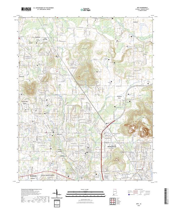
 - 2020 Map of Jeff, 2020 Print
 2020 Jeff2020 Print · USGSCovers Huntsville, including Madison, Rainbow, and other nearby areas
 - 2020 Map of Capshaw, 2020 Print
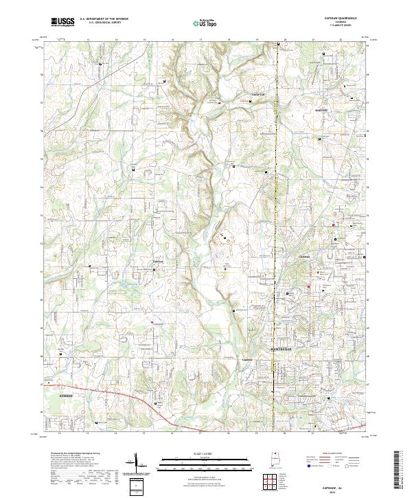
 2020 Capshaw2020 Print · USGSCovers Huntsville, including Madison, Athens, and other nearby areas
 - 2020 Map of Maysville, 2020 Print
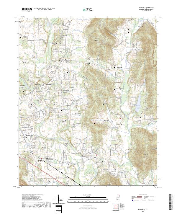
 2020 Maysville2020 Print · USGSCovers Huntsville, including Greenfield, Ryland, and other nearby areas
 - 2020 Map of Madison, 2020 Print
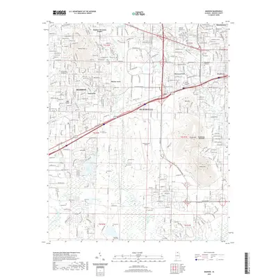 2020 Madison2020 Print · USGSCovers Huntsville, including Madison, Nolan Hills, and other nearby areas
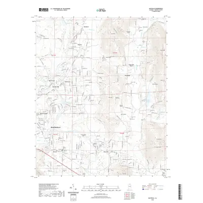
 - 2020 Map of Meridianville, 2020 Print
 2020 Meridianville2020 Print · USGSCovers Huntsville, including Meridianville, Moores Mill, and other nearby areas
 - 2020 Map of Huntsville, 2020 Print
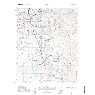 2020 Huntsville2020 Print · USGSCovers Huntsville, including Bucks Canyon, Forest Park, and other nearby areas
 - 2020 Map of Farley, 2020 Print
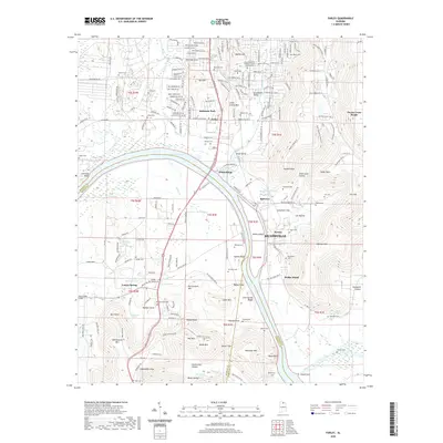 2020 Farley2020 Print · USGSCovers Huntsville, including Owens Cross Roads, Laceys Spring, and other nearby areas
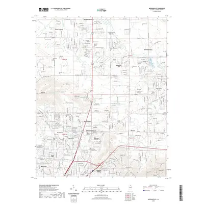
 - 2020 Map of Greenbrier, 2020 Print
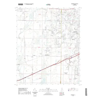 2020 Greenbrier2020 Print · USGSCovers Huntsville, including Madison, Oakland, and other nearby areas
 - 2020 Map of Mason Ridge, 2020 Print
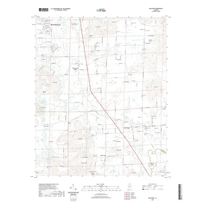
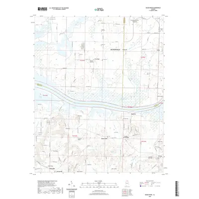 2020 Mason Ridge2020 Print · USGSCovers Huntsville, including Priceville, Triana, and other nearby areas
 - 2020 Map of Tanner, 2020 Print
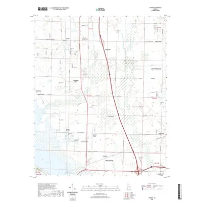 2020 Tanner2020 Print · USGSCovers Huntsville, including Decatur, Athens, and other nearby areas
 - 2020 Map of Triana, 2020 Print
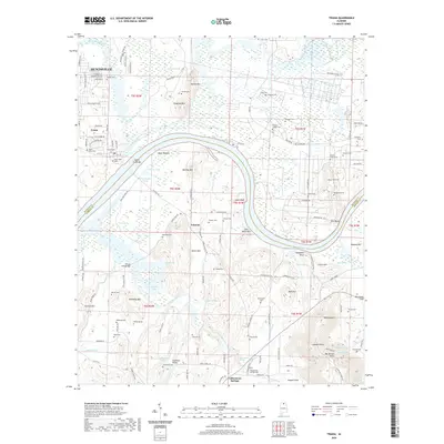 2020 Triana2020 Print · USGSCovers Huntsville, including Triana, Talucah, and other nearby areas
 - 2023 Map of Huntsville, 2023 Print
 2023 Huntsville2023 Print · USGSCovers Huntsville, including Bucks Canyon, Forest Park, and other nearby areas
 - 2024 Map of Huntsville, 2024 Print
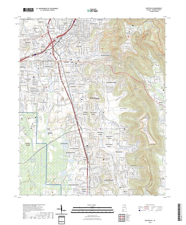 2024 Huntsville2024 Print · USGSHuntsville at the start of the 2020s shows the continued expansion of the Space City from its historical center toward the slopes of Monte Sano Mtn. Researchers can trace neighborhood development from Lily Flagg to Lincoln and locate historical landmarks like Glenwood Cem.
 - 2024 Map of Meridianville, 2024 Print
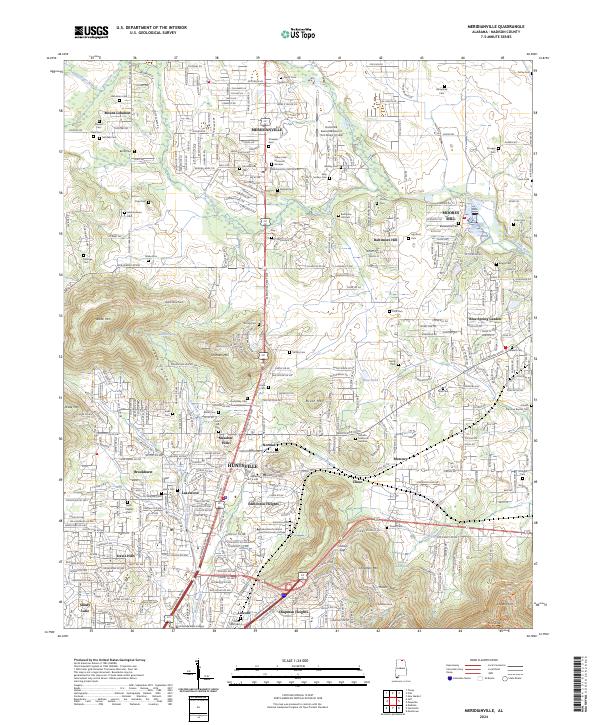 2024 Meridianville2024 Print · USGSMadison County's agricultural roots and modern expansion meet in this survey of the communities north of Huntsville. Genealogists and historians can trace numerous family burial sites like Early Settlers Cem and Otey Cem alongside the grounds of Alabama A and M University.
 - 2024 Map of Maysville, 2024 Print
 2024 Maysville2024 Print · USGSMadison County in the early twenty-first century reveals a landscape where old river industries and family homesteads persist. Genealogists can trace local lineages through Massengale Cem and Union Cem while locating historic sites like Bell Factory and Wortham Mill.
 - 2024 Map of Capshaw, 2024 Print
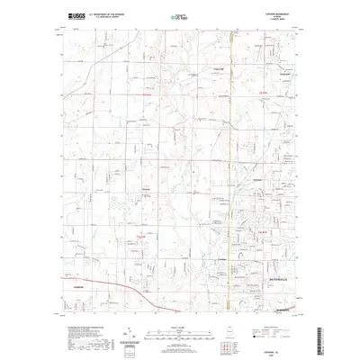
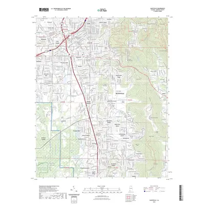
 2024 Capshaw2024 Print · USGSLimestone County comes into focus in the mid-2020s as modern development weaves through a landscape of historic family homesteads and creeks. Researchers can locate numerous small burial sites like the Old German Cem and Vasser Pettus Cem near Capshaw and Fairview.
 - 2024 Map of Moontown, 2024 Print
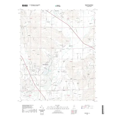
 2024 Moontown2024 Print · USGSMadison County at the edge of the Tennessee Valley shows a landscape of family cemeteries and mountain coves east of Huntsville. Researchers can trace historic homesteads near Lickskillet or locate burial sites like Crowson Hill Cem and Sanford Cem.
 - 2024 Map of Jeff, 2024 Print
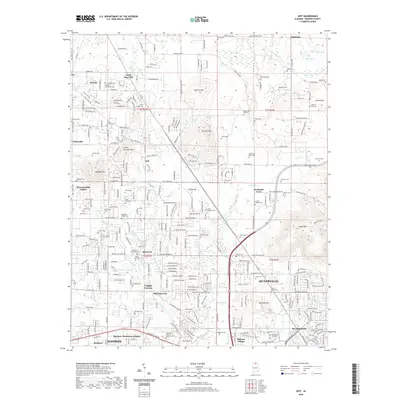
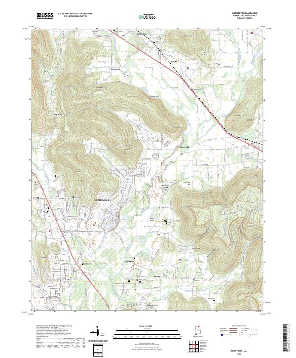
 2024 Jeff2024 Print · USGSMadison County at the edge of Huntsville's expansion shows a landscape where historic rural identifiers meet modern growth. Genealogists can locate family burial sites like Bouldin-Hammond Cem and trace the legacy of Oakwood University and Monrovia.
 - 2024 Map of Tanner, 2024 Print
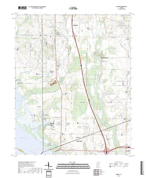 2024 Tanner2024 Print · USGSLimestone County, Alabama, is documented here in the early 2020s as a landscape of modern regional hubs and deep-rooted family history. Genealogists can trace numerous local burial sites like Polly Malone Cem and Garrett Cem near the Wheeler National Wildlife Refuge.
 - 2024 Map of Farley, 2024 Print
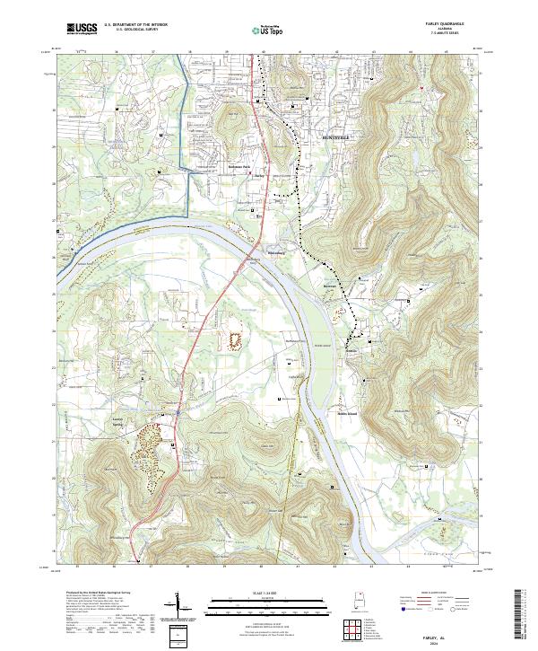 2024 Farley2024 Print · USGSThe Tennessee River valley south of Huntsville comes alive in this survey, showcasing the overlap of military grounds and rural river life. Genealogists can trace family landmarks like Laceys Spring and numerous pioneer burial sites including Bloomfield Cem and Lacey-Gem Cem.
 - 2024 Map of New Hope, 2024 Print
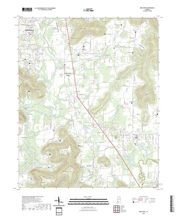 2024 New Hope2024 Print · USGSMadison County at the edge of the Marshall County line shows a landscape of river bends and mountain hollows south of Huntsville. Researchers can locate numerous family burial sites like Byrd Cem and Bush Cem or trace the winding course of the Paint Rock River past Shirt Tail Bend.
 - 2024 Map of Greenbrier, 2024 Print
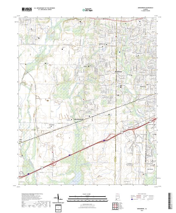 2024 Greenbrier2024 Print · USGSMadison and Huntsville intersect here during a period of significant growth, where international aviation hubs meet protected river wetlands. Trace family roots at the Bryan Farm Cem or Jones-Donnell Cem, and explore the wetlands of the Wheeler National Wildlife Refuge.
 - 2024 Map of Madison, 2024 Print
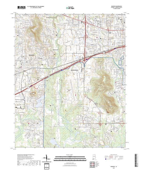 2024 Madison2024 Print · USGSMadison and Huntsville show their modern growth in the twenty-first century, anchored by the massive Redstone Arsenal and the Wheeler National Wildlife Refuge. Researchers can locate dozens of burial sites, including the Powhatan Toney Cem, Inman Cem, and Madison Memory Gardens.
Showing maps 1-25 of 29
Top cities near Huntsville
- Decatur historical maps
- Madison historical maps
- Athens historical maps
- Hartselle historical maps
- Meridianville historical maps
- Moores Mill historical maps
See more
Top neighborhoods of Huntsville
- Bucks Canyon historical maps
- Forest Park historical maps
- Windsor Manor historical maps
- Valley Park historical maps
- Bluewood Estates historical maps
- Eastridge historical maps
See more
Frequently asked questions
- What are the different types of historical maps available for Huntsville?
- What is the oldest map of Huntsville?
- Where can I purchase historical maps of Huntsville for my home or office?
- Where can I download high-res historical maps of Huntsville?
- Are there historical topographic maps available for Huntsville?
- Is there historical aerial imagery available for Huntsville?
- Where are historical maps of Huntsville sourced from?