Old Maps of Union Grove, Alabama for Genealogy
Trace your family roots with 16 historic maps of Union Grove. These high-res maps reveal old neighborhoods, homesites, landmarks, and streets — helping you uncover where your ancestors lived and how the area evolved over time.
- Explore historic neighborhoods: Identify where your relatives may have lived in the 1800s or 1900s.
- Compare maps over time: Trace the changes in streets, buildings, and landmarks for multi-generational research.
- Perfect for genealogy & ancestry research: Used by family historians and researchers to map out lineage and migration.
These maps are an incredible resource for exploring your personal connection to Union Grove's past.
Union Grove, AL maps
(16)- 1888 Map of Scottsboro
 1888 Scottsboro1888 Print · USGSNortheast Alabama is shown in the late nineteenth century as a land of steep plateaus and vital river crossings. Genealogists and researchers can trace the early rail-and-river economy through family landmarks like Caldwell's Ferry and the Bell Factory textile site.
 - 1892 Map of Scottsboro
 1892 Scottsboro1892 Print · USGSJackson County and the Tennessee River valley are captured here in the late nineteenth century, just as railroads began to reshape local commerce. Genealogists can trace family-named sites like Owen's Cross Roads, Carrick Mill, and Larkin Landing.5 unique versions available
 - 1936 Map of New Market
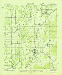 1936 New Market1936 Print · USGSMadison County, Alabama, is documented here in the mid-1930s as a landscape defined by the Old Cherokee Boundary and the railroad. Researchers can trace ancestral roots at New Market or locate family sites like Taylor Cem and Hickory Grove Ch.
 - 1949 Map of New Market, 1976 Print
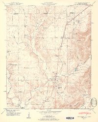
 1949 New Market1976 Print · USGSMadison County and the Tennessee state line are captured in the mid-century as rural communities like New Market and Plevna thrived along the rail lines. Genealogists can trace family landmarks and historic property lines along the Old Cherokee Boundary and near Bloucher Ford.
 - 1951 Map of New Market
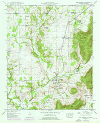
 1951 New Market1951 Print · USGSMadison County, Alabama, and the Tennessee borderlands are detailed here in the early fifties, showing a rural landscape defined by the Nashville Chattanooga and St Louis rail line. Researchers can trace family history through dozens of landmarks like Graveyard Hill Cem, Bloucher Ford, and the Old Cherokee Boundary.2 unique versions available
 - 1956 Map of Gadsden, 1966 Print
 1956 Gadsden1966 Print · USGSNorth Alabama in the mid-1950s shows a region transformed by river engineering and federal industry. Genealogists and local historians can trace the development of the Tennessee Valley through the growth of Huntsville, the sprawling Redstone Arsenal, and the expansive Guntersville Lake.3 unique versions available
 - 1958 Map of Gadsden
 1958 Gadsden1958 Print · USGSNorth Alabama comes alive in the late 1950s as the Tennessee Valley Authority’s massive river projects and the rise of the space industry reshaped the landscape. Researchers can trace the mid-century footprints of Huntsville, Redstone Arsenal, and the riverside rail networks of the Southern railroad.
 - 1960 Map of Gadsden
 1960 Gadsden1960 Print · USGSNorthern Alabama in the mid-1950s is defined by the mighty Tennessee River and its massive reservoirs. Trace the development of Huntsville and Redstone Arsenal or explore the vast William B Bankhead National Forest.2 unique versions available
 - 1963 Map of Gadsden
 1963 Gadsden1963 Print · USGSNorthern Alabama underwent a dramatic mid-century transformation as the Tennessee Valley became a hub for defense and industry. Researchers can trace the development of the Redstone Arsenal, the route of the Natchez Trace Parkway, and long-standing rail lines like the Southern Railway.
 - 1984 Map of Huntsville, 1986 Print
 1984 Huntsville1986 Print · USGSNorthern Alabama and the Tennessee borderlands are captured in the mid-eighties as Huntsville and the Redstone Arsenal expand. Researchers can trace rural landmarks from Woodlin Mill to the Cumberland Plateau and old rail lines like the Southern.3 unique versions available
 - 2010 Map of New Market, 2010 Print
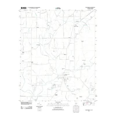
 2010 New Market2010 Print · USGSCovers Union Grove, including New Market, Fannings Crossing, and other nearby areas
 - 2011 Map of New Market, 2011 Print
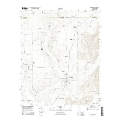
 2011 New Market2011 Print · USGSCovers Union Grove, including New Market, Fannings Crossing, and other nearby areas
 - 2014 Map of New Market, 2014 Print
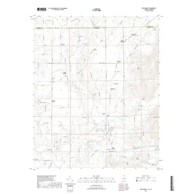
 2014 New Market2014 Print · USGSCovers Union Grove, including New Market, Fannings Crossing, and other nearby areas
 - 2018 Map of New Market, 2018 Print
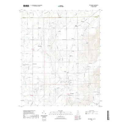
 2018 New Market2018 Print · USGSCovers Union Grove, including New Market, Fannings Crossing, and other nearby areas
 - 2020 Map of New Market, 2020 Print
 2020 New Market2020 Print · USGSCovers Union Grove, including New Market, Fannings Crossing, and other nearby areas
 - 2024 Map of New Market, 2024 Print
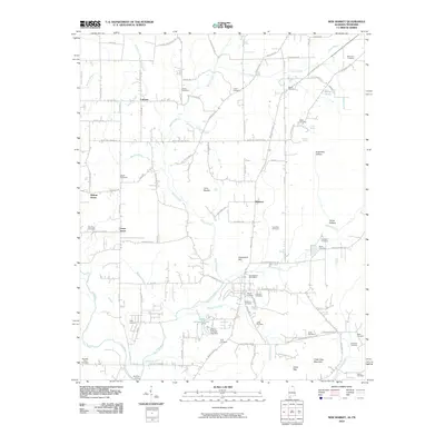
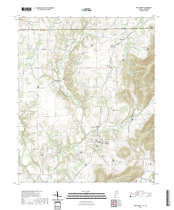 2024 New Market2024 Print · USGSMadison County, Alabama, and Lincoln County, Tennessee, meet in this modern landscape of family-named landmarks and upland valleys. Researchers can trace ancestral locations through dozens of sites like the Sharp Family Cem, Steele Crossing, and Jimmy Johnston Lake.
End of results
Showing maps 1-16 of 16
Top cities near Union Grove
- Huntsville historical maps
- Madison historical maps
- Meridianville historical maps
- Fayetteville historical maps
- Moores Mill historical maps
- Hazel Green historical maps
See more
Frequently asked questions
- What are the different types of historical maps available for Union Grove?
- What is the oldest map of Union Grove?
- Where can I purchase historical maps of Union Grove for my home or office?
- Where can I download high-res historical maps of Union Grove?
- Are there historical topographic maps available for Union Grove?
- Is there historical aerial imagery available for Union Grove?
- Where are historical maps of Union Grove sourced from?