2010s Maps of Mobile County, Alabama
Explore 123 historic maps of Mobile County from the 2010s. These maps offer a rare glimpse into what life looked like during the 2010s — showing old roads, neighborhoods, homes, and landmarks that have changed or disappeared over time.
Whether you're researching your family's past, planning a metal detecting trip, or studying how Mobile County's landscape evolved across the 2010s, these high-resolution maps are a powerful tool for exploring the history of this region.
- Focus on a specific era: All maps on this page are from the 2010s, giving you a focused view of this time period.
- See what’s changed: Compare century-old streets, trails, and buildings to today's modern landscape using overlays and satellite layers.
- Research with precision: Use these maps for genealogy, historical research, land use analysis, or educational projects.
- View, download, or print: Maps are fully viewable online in high resolution, and can be downloaded or printed for your own records.
Start exploring Mobile County's history through authentic maps from the 2010s. This is your window into the past.
Mobile County, AL maps
(123)- 2011 Map of Bilbo Island, 2011 Print
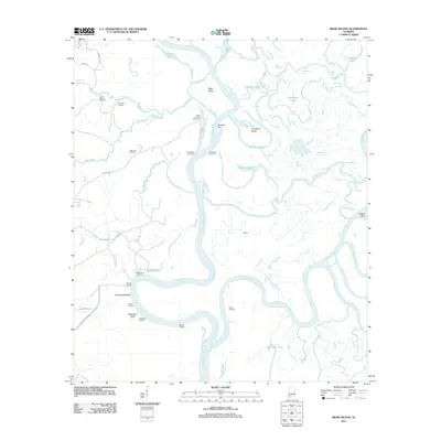 2011 Bilbo Island2011 Print · USGSThe confluence of the Tombigbee and Alabama rivers comes alive in this study of Mobile County's river delta at the start of the 2010s. Researchers can locate remote river outposts and local landmarks like Big John Cemetery, Nanahubba Bluff, and Bates Landing Fish Camp.
 - 2011 Map of Chunchula, 2011 Print
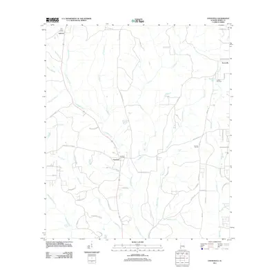 2011 Chunchula2011 Print · USGSMobile County at the start of the decade shows a landscape of timberlands, gas extraction, and small rural communities. Genealogists and local historians can locate the Gulf Crest Cemetery, trace the Chunchula Gas Field, and find the Orvin Lookout Tower.
 - 2011 Map of Kushla, 2011 Print
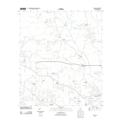 2011 Kushla2011 Print · USGSMobile County settlements and waterways are mapped here in the early twenty-first century as suburban growth expands northward. Researchers can trace family history at the Mauvilla Cemetery or locate landmarks like the University of Mobile and Kali-Oka Springs.
 - 2011 Map of Creola, 2011 Print
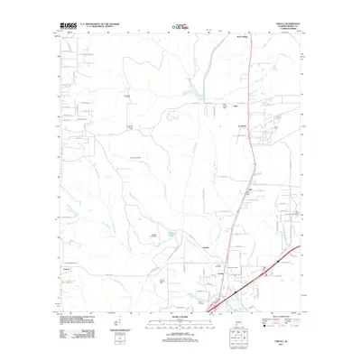 2011 Creola2011 Print · USGSMobile County settlements north of the city flourished during the early 21st century along the bustling Highway 43 corridor. Genealogists can locate family landmarks like the Little Saint Louis Church Cemetery or trace industrial sites such as the Hatters Pond Gas Field.
 - 2011 Map of Spring Hill, 2011 Print
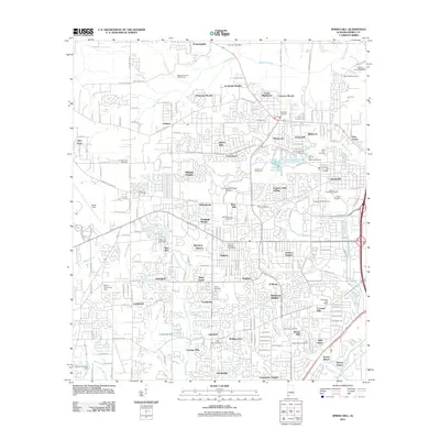 2011 Spring Hill2011 Print · USGSMobile’s western suburbs and college campuses are captured in this 2011 survey of Spring Hill. Researchers can trace local history through numerous burial grounds like Old Spring Hill Cemetery or explore the grounds of the University of South Alabama.
 - 2011 Map of Semmes, 2011 Print
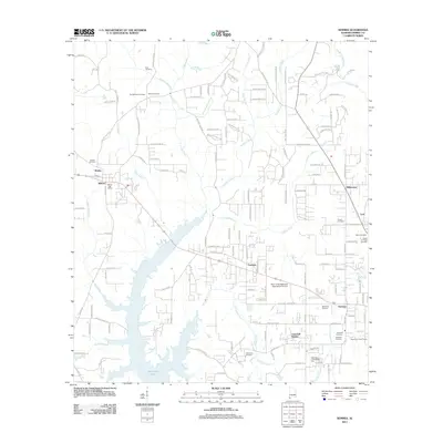 2011 Semmes2011 Print · USGSThe Semmes and Wilmer area of Mobile County appears in the early 2000s as a community defined by its water and woods. Genealogists can locate numerous local burial sites including Allentown Cemetery and Ford Cemetery, alongside landmarks like the Semmes Lookout Tower.
 - 2011 Map of Heron Bay, 2011 Print
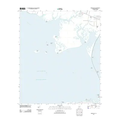 2011 Heron Bay2011 Print · USGSThe Alabama coast is revealed at the meeting of the Mississippi Sound and Portersville Bay in the early twenty-first century. Researchers can trace landforms and local heritage at Heron Bay, Murder Point, and the Dorlan Community Cemetery.
 - 2011 Map of Theodore, 2011 Print
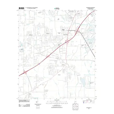 2011 Theodore2011 Print · USGSCoastal Alabama southwest of Mobile comes into focus in this 2011 record of suburban growth and industrial infrastructure. Genealogists and local historians can trace the development of Theodore, locate Magnolia Springs Cemetery, and follow the winding course of Rabbit Creek.
 - 2011 Map of Tanner Williams, 2011 Print
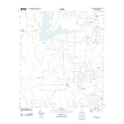 2011 Tanner Williams2011 Print · USGSMobile County’s western hills and reservoirs are captured here in the early twenty-first century as suburban expansion reaches toward the state line. Genealogists can locate family burial sites at Pierce Cemetery and Mount Zion Cemetery while tracing roads like Old Tanner Williams Rd W.
 - 2011 Map of Hollingers Island, 2011 Print
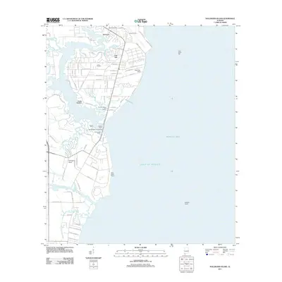 2011 Hollingers Island2011 Print · USGSCoastal Alabama at the start of the 2010s reveals a sophisticated network of bayous and marinas along the western shore of the bay. Local historians can trace family ties at Lartigue Cemetery or explore the waterfront infrastructure at Southern Marina and Harbor and Hollingers Island.
 - 2011 Map of Bellefontaine, 2011 Print
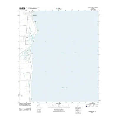 2011 Bellefontaine2011 Print · USGSCoastal Mobile County is shown here in the early twenty-first century as the Fowl River meets the bay. Genealogists and local historians can locate family sites at Mathis Cemetery and Boudans Cemetery or trace the docks at Fowl River Marina.
 - 2011 Map of Little Dauphin Island, 2011 Print
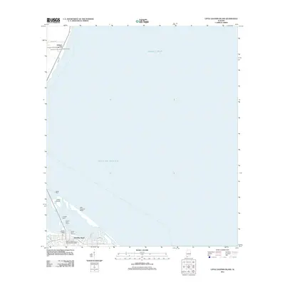 2011 Little Dauphin Island2011 Print · USGSDauphin Island and the Mobile County coastline are shown in high detail during the early 2010s. Researchers can locate family sites at the Alabama Port Cemetery or Reeds Cemetery and trace the modern expansion along Bienville Blvd.
 - 2011 Map of Saint Elmo, 2011 Print
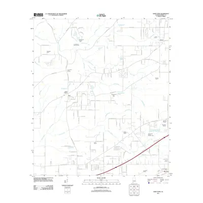 2011 Saint Elmo2011 Print · USGSCoastal Alabama's agricultural and rural landscape in Mobile County is meticulously documented during the early twenty-first century. Researchers can trace family history at Union Baptist Church Cemetery or explore landmarks like Saint Elmo and the Idle Hour Airport.
 - 2011 Map of Georgetown, 2011 Print
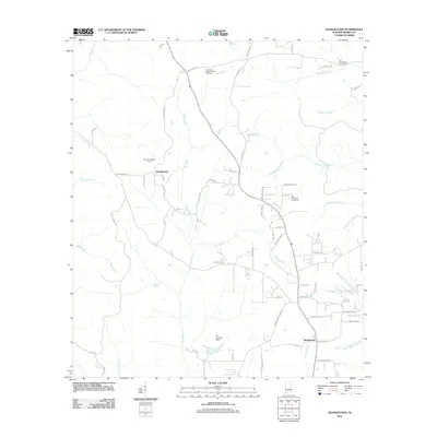 2011 Georgetown2011 Print · USGSMobile County’s rural interior is documented here during the early twenty-first century, showing a landscape of small settlements and family lands. Genealogists can trace local roots at Old Providence Cemetery, Fellowship Baptist Church, and the eponymous Boothetown.
 - 2011 Map of Earlville, 2011 Print
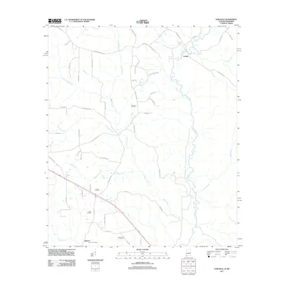 2011 Earlville2011 Print · USGSThe Alabama-Mississippi borderlands appear in detail in this study of the Escatawpa River valley and its rural communities. Researchers can trace family roots through numerous burial sites like Macedonia Cemetery or locate the settlement of Earlville.
 - 2011 Map of Stiggins Lake, 2011 Print
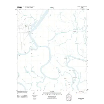 2011 Stiggins Lake2011 Print · USGSThe Mobile and Tensaw River delta is captured here in the early twenty-first century, showing a landscape defined by historical river crossings and bayous. Researchers can trace the heritage of Fort Stoddard, locate Morningstar Cemetery, or find old river access points like Rice Creek Landing.
 - 2011 Map of Daphne, 2011 Print
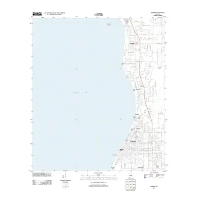 2011 Daphne2011 Print · USGSThe eastern shore of Mobile Bay comes into focus in this 2011 survey, showing the residential growth and shoreline geography of Baldwin County. Genealogists and researchers can trace family landmarks like Montrose Cemetery, The Village, and the legendary Jackson Oak.
 - 2011 Map of Bridgehead, 2011 Print
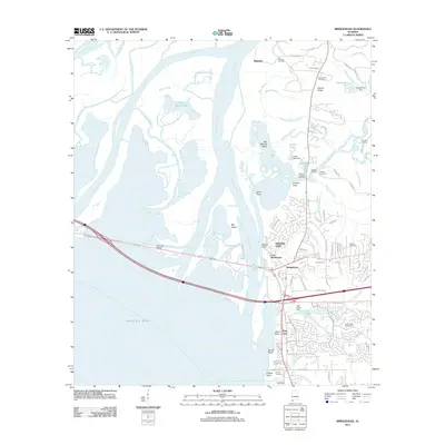 2011 Bridgehead2011 Print · USGSThe eastern shore of Mobile Bay appears at a moment of modern residential growth amidst deep-rooted colonial and military history. Genealogists and historians can locate Fort McDermott, the historic Blakeley site, and family-named landmarks like Wilson Cemetery or D'Olive Cemetery.
 - 2011 Map of Fort Morgan, 2011 Print
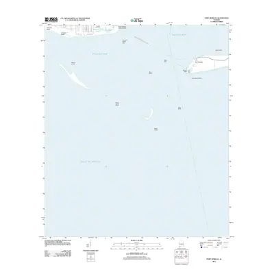 2011 Fort Morgan2011 Print · USGSDauphin Island and the mouth of Mobile Bay are captured in this early twenty-first century survey of Alabama's coast. Trace the maritime history of Fort Morgan and Fort Gaines or locate the Dauphin Island-Fort Morgan Ferry Crossing.
 - 2011 Map of Coden, 2011 Print
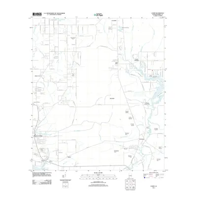 2011 Coden2011 Print · USGSThe Mobile County shoreline comes to life in the early 2000s, showing the deep-rooted maritime and industrial character of coastal Alabama. Researchers can trace family history through sites like the Catholic Cemetery or locate old community hubs in Bayou La Batre, Coden, and Delchamps.
 - 2011 Map of Chickasaw, 2011 Print
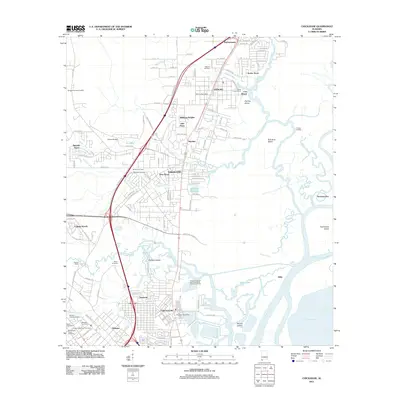 2011 Chickasaw2011 Print · USGSMobile County’s riverfront corridor is captured here at a point of significant suburban and industrial growth. Researchers can trace local heritage through numerous burial grounds like Baileys Cemetery and landmarks such as Liveoak Landing.
 - 2011 Map of Grand Bay, 2011 Print
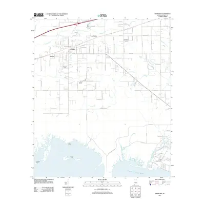 2011 Grand Bay2011 Print · USGSCoastal Mobile County comes alive in this early 21st-century survey of the Grand Bay area and its tidal marshlands. Genealogists and local historians can trace family locations near the Grand Bay Post Office or find records at Pine McGrew Cemetery and San Souci Beach.
 - 2011 Map of Isle aux Herbes, 2011 Print
 2011 Isle aux Herbes2011 Print · USGSCoastal Alabama waters and barrier islands are documented in the early twenty-first century, highlighting the maritime boundary of Mobile County. Researchers can trace the exact shorelines of Isle aux Herbes, Terrapin Island, and Point aux Pins.
 - 2011 Map of Grand Bay SW, 2011 Print
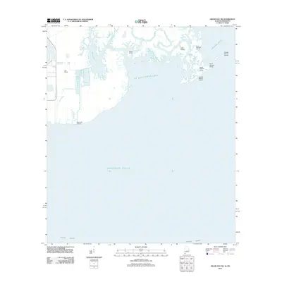 2011 Grand Bay SW2011 Print · USGSThe Alabama and Mississippi shoreline is captured here in the early twenty-first century, showing a complex world of tidal bayous and barrier islands. Researchers can trace the shifting marshes around Bangs Lake, L'Isle Chaude, and the Grande Batture Islands.
 - 2011 Map of Mobile, 2011 Print
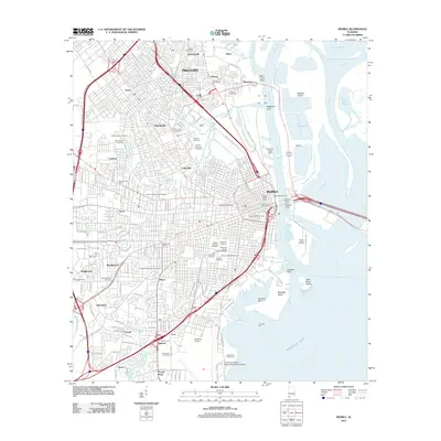 2011 Mobile2011 Print · USGSMobile and its riverfront industries are shown in high detail during the early 21st century. Genealogists and historians can trace the extensive grounds of Magnolia Cemetery, the Catholic Cemetery of Mobile, and the waterfront Alabama State Docks.
Showing maps 1-25 of 123
Top cities of Mobile County
- Mobile historical maps
- Prichard historical maps
- Tillmans Corner historical maps
- Saraland historical maps
- Satsuma historical maps
- Chickasaw historical maps
See more
Frequently asked questions
- What are the different types of historical maps available for Mobile County?
- What is the oldest map of Mobile County?
- Where can I purchase historical maps of Mobile County for my home or office?
- Where can I download high-res historical maps of Mobile County?
- Are there historical topographic maps available for Mobile County?
- Is there historical aerial imagery available for Mobile County?
- Where are historical maps of Mobile County sourced from?