2020s Maps of Wilcox County, Alabama
Explore 56 historic maps of Wilcox County from the 2020s. These maps offer a rare glimpse into what life looked like during the 2020s — showing old roads, neighborhoods, homes, and landmarks that have changed or disappeared over time.
Whether you're researching your family's past, planning a metal detecting trip, or studying how Wilcox County's landscape evolved across the 2020s, these high-resolution maps are a powerful tool for exploring the history of this region.
- Focus on a specific era: All maps on this page are from the 2020s, giving you a focused view of this time period.
- See what’s changed: Compare century-old streets, trails, and buildings to today's modern landscape using overlays and satellite layers.
- Research with precision: Use these maps for genealogy, historical research, land use analysis, or educational projects.
- View, download, or print: Maps are fully viewable online in high resolution, and can be downloaded or printed for your own records.
Start exploring Wilcox County's history through authentic maps from the 2020s. This is your window into the past.
Wilcox County, AL maps
(56)- 2020 Map of Rosebud, 2020 Print
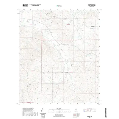 2020 Rosebud2020 Print · USGSWilcox County's rural interior is preserved here in the early twenty-first century, showing a landscape defined by creeks and timberland. Genealogists and local historians can trace the roads and homestead locations around Fatama, Rosebud, and the winding waters of Pursley Cr.
 - 2020 Map of McWilliams, 2020 Print
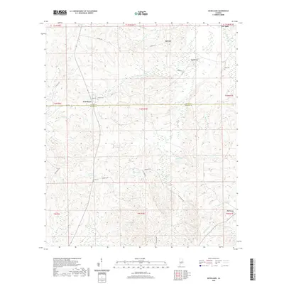 2020 McWilliams2020 Print · USGSPine Apple and the Wilcox-Monroe county border are shown in this recent survey of Alabama's timberlands. Researchers can trace local heritage through the locations of Pineview Cem and Grimes Cem or locate the rural crossroads at McWilliams and Old Texas.
 - 2020 Map of Hybart, 2020 Print
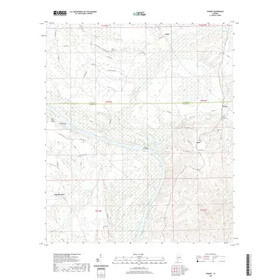 2020 Hybart2020 Print · USGSWilcox and Monroe counties are captured here in the early twenty-first century, centered on the river-bend communities of Hybart and Asahel. Researchers can trace deep family roots at Pine Flat Baptist Church Cem and Tinela Cem.
 - 2020 Map of Thomasville, 2020 Print
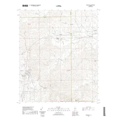 2020 Thomasville2020 Print · USGSAlabama's timber country comes into focus in this recent survey of Clarke County and its neighboring borders. Genealogists can locate several family cemeteries including Danzy Cem and Tutt Cem, or explore the unique Double Natural Bridges landmark.
 - 2020 Map of Oak Hill, 2020 Print
 2020 Oak Hill2020 Print · USGSWilcox County is documented here in the early twenty-first century, showing a landscape shaped by the Pine Barren Creek and Bear Creek drainages. Researchers can trace the layout of rural communities like Oak Hill, Pine Apple, and the historic McConico Cem.
 - 2020 Map of Coy, 2020 Print
 2020 Coy2020 Print · USGSWilcox County’s riverfront comes into focus in this recent survey of the Alabama River and its rural settlements. Genealogists and local historians can trace family-named sites like McPherson Cemetery and the community of Yellow Bluff.
 - 2020 Map of Pine Apple North, 2020 Print
 2020 Pine Apple North2020 Print · USGSWilcox and Butler counties are captured here in the contemporary era, showing a landscape defined by traditional settlements and winding creek valleys. Researchers can trace family sites at Monterey Cem, Palmer Cem, and the Mount Moriah Fellowship Baptist Church Cem.
 - 2020 Map of Nadawah, 2020 Print
 2020 Nadawah2020 Print · USGSThe rural borderlands of Monroe and Wilcox counties come to life in this recent survey of Southwest Alabama. Genealogists and local historians can pinpoint the locations of Saint Matthew Cem, Turkestan Cem, and the settlements at Nadawah and Chestnut.
 - 2020 Map of Vredenburgh, 2020 Print
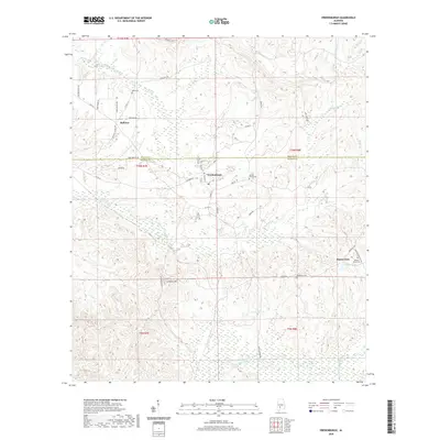 2020 Vredenburgh2020 Print · USGSThe Wilcox and Monroe county line near Vredenburgh is documented here in the early twenty-first century. Researchers can trace family history through several rural burial sites like Apple Grove Cem and Dees Cem or locate the settlement of Bellview.
 - 2020 Map of Lower Peach Tree, 2020 Print
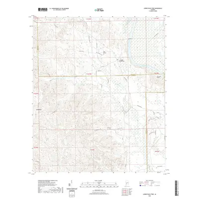 2020 Lower Peach Tree2020 Print · USGSWilcox and Clarke counties meet along the Alabama River in this modern survey of the Alabama Black Belt. Genealogists and local historians can locate Lower Peach Tree Cem, the riverside Ohio Bar, and the rural crossroads of Nettleboro.
 - 2020 Map of Fulton East, 2020 Print
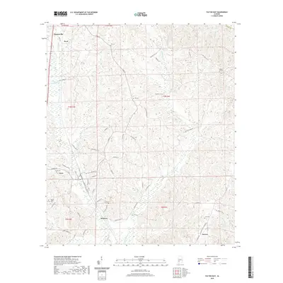 2020 Fulton East2020 Print · USGSClarke County timberlands and rural communities are detailed in this recent survey. Genealogists and local historians can trace the positions of old burial grounds like Salem Cem and Pleasant Hill Cem, alongside small settlements such as Dickinson and Rural.
 - 2020 Map of Minter, 2020 Print
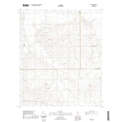 2020 Minter2020 Print · USGSThe rural crossroads of Dallas and Wilcox counties are preserved here as they appeared in 2020. Local researchers can trace family sites like Purefoy Cem and McColough Cem or follow the paths of Cedar Cr and Old Barge Mill Rd.
 - 2020 Map of Ridgeville, 2020 Print
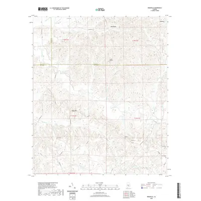 2020 Ridgeville2020 Print · USGSThe rural borders of Lowndes, Butler, and Wilcox counties are captured here in the early twenty-first century. Genealogists and local historians can trace several family burial sites including Snow Cem, Crenshaws Cem, and Manningham Cem near the Ridgeville community.
 - 2020 Map of Pine Hill, 2020 Print
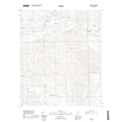 2020 Pine Hill2020 Print · USGSWilcox County’s timber and river country is captured here in the early twenty-first century as the Alabama River skirts the eastern boundary. Genealogists can locate numerous rural burial sites including Saint Johns Cem and Mount Andrew Cem near Pine Hill.
 - 2020 Map of Pine Apple South, 2020 Print
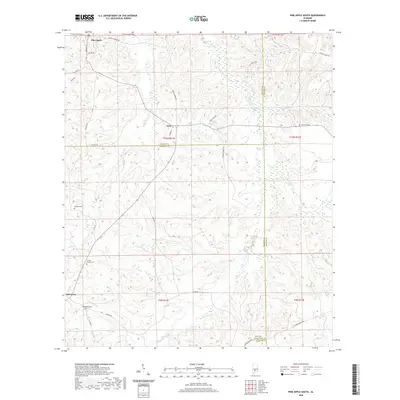 2020 Pine Apple South2020 Print · USGSWilcox, Monroe, and Butler counties meet in this rural Alabama landscape as it appeared in recent years. Researchers can locate several historical burial sites and crossroads including Old Texas, Bethlehem Cem, and Jenkins Chapel Cem.
 - 2020 Map of Braggs, 2020 Print
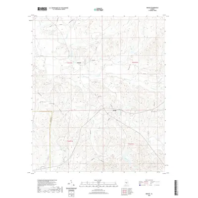 2020 Braggs2020 Print · USGSLowndes County is captured here in the modern era, showing a landscape of quiet rural settlements and deep creek valleys. Genealogists can trace family footprints through several small burial grounds, including Sills Cemetery, New Bethel Cemetery, and Crossroad Cemetery.
 - 2020 Map of Flatwood, 2020 Print
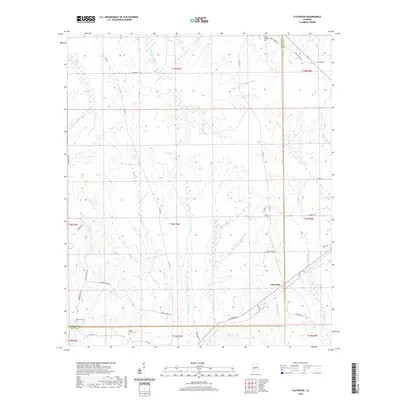 2020 Flatwood2020 Print · USGSMarengo and Wilcox counties appear here in the modern era, showing the rural landscape around Flatwood. Genealogists can locate several burial grounds and religious sites, including Sidney Chapel Cem, Mormons Cem, and Goose Creek Cem.
 - 2020 Map of Thomaston East, 2020 Print
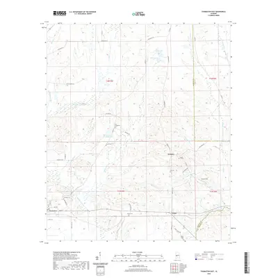 2020 Thomaston East2020 Print · USGSMarengo County's rural interior is documented here in the early twenty-first century as it spans the borders of Perry and Wilcox counties. Researchers can trace family history through numerous local landmarks, including Zion Cem, Thomaston Cem, and the settlement at McKinley.
 - 2020 Map of Crumptonia, 2020 Print
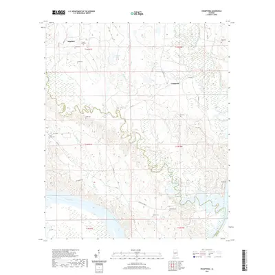 2020 Crumptonia2020 Print · USGSThe Dallas and Wilcox County borderlands are documented here in 2020, showing a landscape shaped by the Alabama River and winding Chilatchee Creek. Genealogists will find a high density of rural burial grounds to trace, from Hardy Young Cem to the Poplar Springs Cem near Pine Grove.
 - 2020 Map of Surginer, 2020 Print
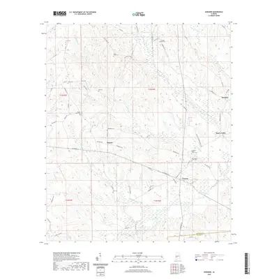 2020 Surginer2020 Print · USGSMarengo County's rural communities of Surginer and Vineland are captured here in the 2020s, revealing a landscape of winding creeks and family landmarks. Genealogists can trace several local burial sites and churches, including Living Church Cem, Arbor Cem, and Union Baptist Church Cem.
 - 2020 Map of Central Mills, 2020 Print
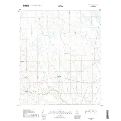 2020 Central Mills2020 Print · USGSThe Alabama Black Belt comes into focus at the meeting point of four counties in these 2020 surveys. Local historians can trace family roots through Mount Zion Cem and Christian Light Cem or locate the old settlements of Central Mills and Blalock.
 - 2020 Map of Kimbrough, 2020 Print
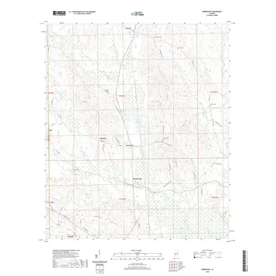 2020 Kimbrough2020 Print · USGSWilcox County in the modern era is a landscape of creek-side settlements and rural crossroads. Local researchers can trace family histories through numerous burial grounds like Thornhill Cemetery or visit the communities of Arlington, Anne Manie, and Kimbrough.
 - 2020 Map of Carlowville, 2020 Print
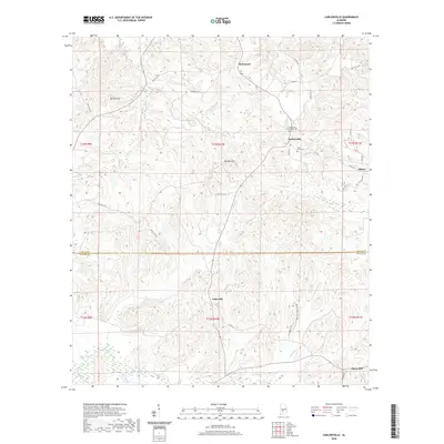 2020 Carlowville2020 Print · USGSDallas and Wilcox counties meet in this rural landscape during the early twenty-first century. Genealogists and local historians can trace family roots through sites like Carlowville Community Cem, Saint Pauls Cem, and the roads around Snow Hill.
 - 2020 Map of Lee Long Bridge, 2020 Print
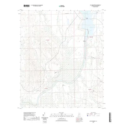 2020 Lee Long Bridge2020 Print · USGSWilcox County river life is documented here in the early twenty-first century as the Alabama River winds past the settlement of Midway. Genealogists and researchers can trace family landmarks like Mendenhall Cem and the river heritage of Clifton Ferry Rd.
 - 2020 Map of Tilden, 2020 Print
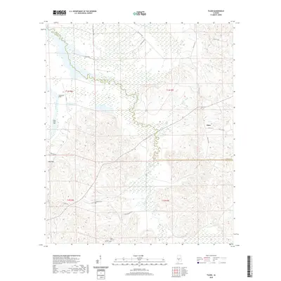 2020 Tilden2020 Print · USGSDallas and Wilcox counties meet in this rural Alabama landscape during the early twenty-first century, centered on the winding Alabama River. Genealogists and historians can locate several historic burial sites, including Boykin Cem, Society Hill Cem, and Older Hill Cem.
Showing maps 1-25 of 56
Top cities of Wilcox County
- Camden historical maps
- Pine Hill historical maps
- Boykin historical maps
- Yellow Bluff historical maps
- Pine Apple historical maps
- Oak Hill historical maps
Frequently asked questions
- What are the different types of historical maps available for Wilcox County?
- What is the oldest map of Wilcox County?
- Where can I purchase historical maps of Wilcox County for my home or office?
- Where can I download high-res historical maps of Wilcox County?
- Are there historical topographic maps available for Wilcox County?
- Is there historical aerial imagery available for Wilcox County?
- Where are historical maps of Wilcox County sourced from?