2000s (21st Century) Maps of Wilcox County, Alabama
Explore 140 historic maps of Wilcox County from the 2000s (21st Century). These maps offer a rare glimpse into what life looked like during the 2000s — showing old roads, neighborhoods, homes, and landmarks that have changed or disappeared over time.
Whether you're researching your family's past, planning a metal detecting trip, or studying how Wilcox County's landscape evolved across the 2000s, these high-resolution maps are a powerful tool for exploring the history of this region.
- Focus on a specific era: All maps on this page are from the 2000s, giving you a focused view of this time period.
- See what’s changed: Compare century-old streets, trails, and buildings to today's modern landscape using overlays and satellite layers.
- Research with precision: Use these maps for genealogy, historical research, land use analysis, or educational projects.
- View, download, or print: Maps are fully viewable online in high resolution, and can be downloaded or printed for your own records.
Start exploring Wilcox County's history through authentic maps from the 2000s. This is your window into the past.
Wilcox County, AL maps
(140)- 2011 Map of McWilliams, 2011 Print
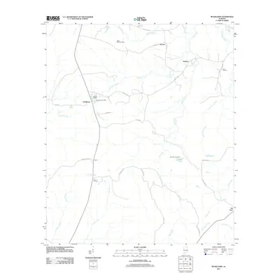 2011 McWilliams2011 Print · USGSCovers Wilcox County, including Pine Apple, Schuster, and other nearby areas
 - 2011 Map of Coy, 2011 Print
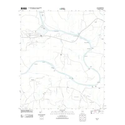 2011 Coy2011 Print · USGSCovers Wilcox County, including Yellow Bluff, Coal Bluff, and other nearby areas
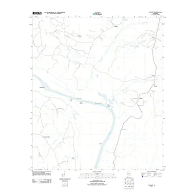
 - 2011 Map of Fulton East, 2011 Print
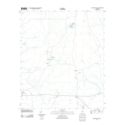
 2011 Fulton East2011 Print · USGSCovers Wilcox County, including Thomasville, Fulton, and other nearby areas
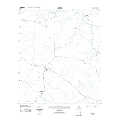
 - 2011 Map of Hybart, 2011 Print
 2011 Hybart2011 Print · USGSCovers Wilcox County, including Asahel, Hybart, and other nearby areas
 - 2011 Map of Oak Hill, 2011 Print
 2011 Oak Hill2011 Print · USGSCovers Wilcox County, including Pine Apple, Oak Hill, and other nearby areas
 - 2011 Map of Thomasville, 2011 Print
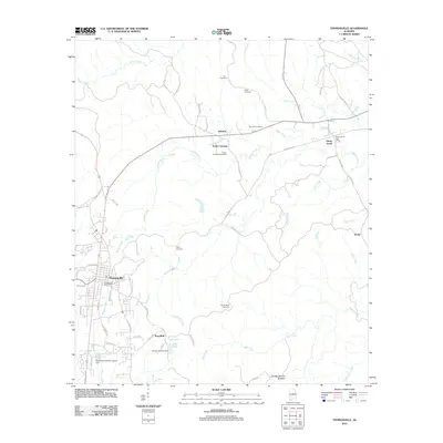 2011 Thomasville2011 Print · USGSCovers Wilcox County, including Thomasville, Pine Hill, and other nearby areas
 - 2011 Map of Crumptonia, 2011 Print
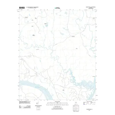 2011 Crumptonia2011 Print · USGSCovers Wilcox County, including Cobbs Quarters, Crumptonia, and other nearby areas
 - 2011 Map of Surginer, 2011 Print
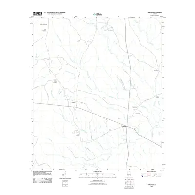 2011 Surginer2011 Print · USGSCovers Wilcox County, including Surginer, Hampden, and other nearby areas
 - 2011 Map of Flatwood, 2011 Print
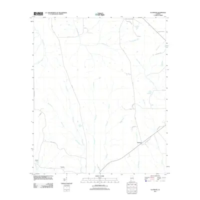 2011 Flatwood2011 Print · USGSCovers Wilcox County, including Flatwood, Marengo County, and other nearby areas
 - 2011 Map of Catherine, 2011 Print
 2011 Catherine2011 Print · USGSCovers Wilcox County, including Boiling Springs, Bethel, and other nearby areas
 - 2011 Map of Camden North, 2011 Print
 2011 Camden North2011 Print · USGSCovers Wilcox County, including Camden, Boykin, and other nearby areas
 - 2011 Map of Central Mills, 2011 Print
 2011 Central Mills2011 Print · USGSCovers Wilcox County, including Blalock, Central Mills, and other nearby areas
 - 2011 Map of Carlowville, 2011 Print
 2011 Carlowville2011 Print · USGSCovers Wilcox County, including Richmond, Ackerville, and other nearby areas
 - 2011 Map of Thomaston East, 2011 Print
 2011 Thomaston East2011 Print · USGSCovers Wilcox County, including Thomaston, Consul, and other nearby areas
 - 2011 Map of Lee Long Bridge, 2011 Print
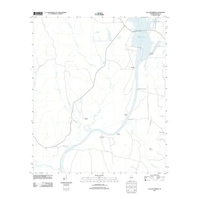 2011 Lee Long Bridge2011 Print · USGSCovers Wilcox County, including Midway, United States, and other nearby areas
 - 2011 Map of Pine Apple South, 2011 Print
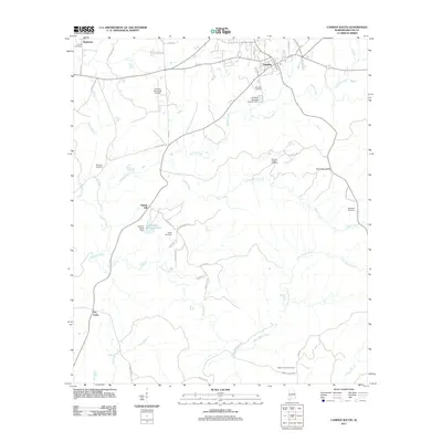
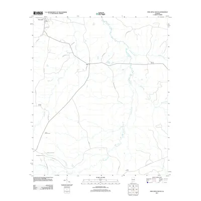 2011 Pine Apple South2011 Print · USGSCovers Wilcox County, including Pine Apple, Awin, and other nearby areas
 - 2011 Map of Pine Apple North, 2011 Print
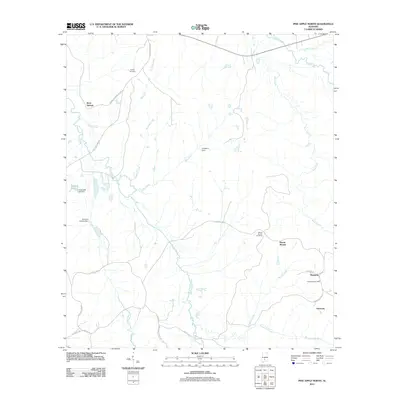 2011 Pine Apple North2011 Print · USGSCovers Wilcox County, including Pine Apple, Monterey, and other nearby areas
 - 2011 Map of Vredenburgh, 2011 Print
 2011 Vredenburgh2011 Print · USGSCovers Wilcox County, including Vredenburgh, Bellview, and other nearby areas
 - 2011 Map of Ridgeville, 2011 Print
 2011 Ridgeville2011 Print · USGSCovers Wilcox County, including Macedonia, Palmyra, and other nearby areas
 - 2011 Map of Rosebud, 2011 Print
 2011 Rosebud2011 Print · USGSCovers Wilcox County, including Fatama, Rosebud, and other nearby areas
 - 2011 Map of Nadawah, 2011 Print
 2011 Nadawah2011 Print · USGSCovers Wilcox County, including Buena Vista, Watsonville, and other nearby areas
 - 2011 Map of Camden South, 2011 Print
 2011 Camden South2011 Print · USGSCovers Wilcox County, including Camden, Pebble Hill, and other nearby areas
 - 2011 Map of Braggs, 2011 Print
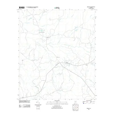 2011 Braggs2011 Print · USGSCovers Wilcox County, including Braggs, Fostoria, and other nearby areas
 - 2011 Map of Lower Peach Tree, 2011 Print
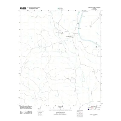 2011 Lower Peach Tree2011 Print · USGSCovers Wilcox County, including Lower Peach Tree, Nettleboro, and other nearby areas
 - 2011 Map of Kimbrough, 2011 Print
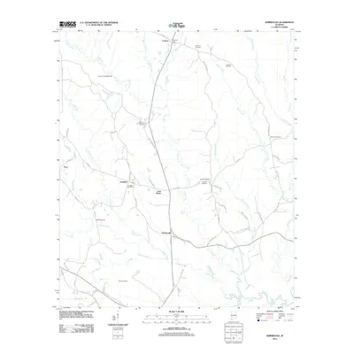 2011 Kimbrough2011 Print · USGSCovers Wilcox County, including Pine Hill, Pope, and other nearby areas
Showing maps 1-25 of 140
Top cities of Wilcox County
- Camden historical maps
- Pine Hill historical maps
- Boykin historical maps
- Yellow Bluff historical maps
- Pine Apple historical maps
- Oak Hill historical maps
Frequently asked questions
- What are the different types of historical maps available for Wilcox County?
- What is the oldest map of Wilcox County?
- Where can I purchase historical maps of Wilcox County for my home or office?
- Where can I download high-res historical maps of Wilcox County?
- Are there historical topographic maps available for Wilcox County?
- Is there historical aerial imagery available for Wilcox County?
- Where are historical maps of Wilcox County sourced from?