2020s Maps of Aleutians East, Alaska
Explore 301 historic maps of Aleutians East from the 2020s. These maps offer a rare glimpse into what life looked like during the 2020s — showing old roads, neighborhoods, homes, and landmarks that have changed or disappeared over time.
Whether you're researching your family's past, planning a metal detecting trip, or studying how Aleutians East's landscape evolved across the 2020s, these high-resolution maps are a powerful tool for exploring the history of this region.
- Focus on a specific era: All maps on this page are from the 2020s, giving you a focused view of this time period.
- See what’s changed: Compare century-old streets, trails, and buildings to today's modern landscape using overlays and satellite layers.
- Research with precision: Use these maps for genealogy, historical research, land use analysis, or educational projects.
- View, download, or print: Maps are fully viewable online in high resolution, and can be downloaded or printed for your own records.
Start exploring Aleutians East's history through authentic maps from the 2020s. This is your window into the past.
Aleutians East, AK maps
(301)- 2020 Map of Unalaska D-1 SW, 2020 Print
 2020 Unalaska D-1 SW2020 Print · USGSThe Aleutian Islands maritime frontier is captured here in the early twenty-first century, showing where sea meets census boundary. Researchers can trace the division between the Aleutians West Census Area and Bering Sea open waters.
 - 2020 Map of False Pass C-1 SW, 2020 Print
 2020 False Pass C-1 SW2020 Print · USGSIn the Aleutians East Borough during the early twenty-first century, this chart documents the maritime expanse south of the Peninsula. Researchers can trace the formal Public Land Survey System grids such as T64S R87W and T64S R86W as they extend into the Pacific Ocean.
 - 2020 Map of False Pass B-3 SW, 2020 Print
 2020 False Pass B-3 SW2020 Print · USGSThe Aleutians East coastline is documented here in the early twenty-first century, focusing on the intersection of the open sea and survey boundaries. Maritime researchers can pinpoint Oneida Rock and trace the section lines of T67S R91W across the Pacific Ocean.
 - 2020 Map of False Pass C-5 SE, 2020 Print
 2020 False Pass C-5 SE2020 Print · USGSOpen waters of the Pacific Ocean south of the Aleutian chain are documented in this recent survey of the maritime frontier. Researchers can trace the extension of the township grid into the sea, including the line between T64S R95W and T64S R94W.
 - 2020 Map of Simeonof Island D-2 NE, 2020 Print
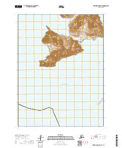 2020 Simeonof Island D-2 NE2020 Print · USGSLittle Koniuji Island and the surrounding Shumagin Islands appear here as they were charted in 2020. Researchers can trace the maritime geography of Northeast Harbor and the isolated Murie Islets south of the Twelve Fathom Strait.
 - 2020 Map of False Pass C-3 SW, 2020 Print
 2020 False Pass C-3 SW2020 Print · USGSThe open maritime reaches of the Aleutians in the early twenty-first century are documented on this specialized hydrographic sheet. Researchers and maritime enthusiasts can study the expanse of the Pacific Ocean in this specific sector of the North Pacific.
 - 2020 Map of Unalaska D-1 NE, 2020 Print
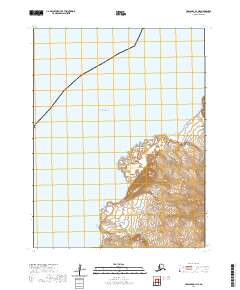 2020 Unalaska D-1 NE2020 Print · USGSThe Fox Islands in the Aleutian chain are documented in the early 2020s, showing the remote volcanic coastlines of the Krenitzin group. Researchers can examine the steep terrain around Lava Point and the coastal inlets of Lava Bight and Reef Bight.
 - 2020 Map of False Pass C-3 NW, 2020 Print
 2020 False Pass C-3 NW2020 Print · USGSCoastal waters in the Aleutians East Borough are charted here in the early twenty-first century, showing the intersection of the sea and the public land survey. Map collectors can trace the maritime grid of T63S R91W as it extends into the Pacific Ocean.
 - 2020 Map of False Pass D-0 OE E NW, 2020 Print
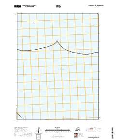 2020 False Pass D-0 OE E NW2020 Print · USGSThe remote Aleutian coastline and open waters of the Pacific Ocean are captured here as they appeared in the early twenty-first century. Maritime researchers and historians can locate specific navigational hazards and landmarks such as John Rock and Olga Rock.
 - 2020 Map of Simeonof Island D-1 NW, 2020 Print
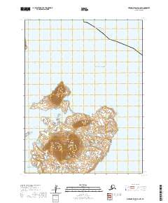 2020 Simeonof Island D-1 NW2020 Print · USGSThe remote Aleutian coastline comes into focus in this recent survey of the Shumagin Islands. Maritime researchers can trace the contours of Simeonof Island, the sheltered Simeonof Harbor, and the waters of Twelve Fathom Strait.
 - 2020 Map of Simeonof Island D-4 SW, 2020 Print
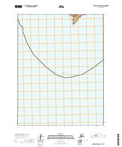 2020 Simeonof Island D-4 SW2020 Print · USGSThe Aleutians East coastline remains largely defined by the sea in this early twenty-first-century survey. Trace the maritime boundary of Mountain Point and the vast waters of the Pacific Ocean.
 - 2020 Map of Simeonof Island D-3 SE, 2020 Print
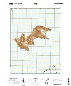 2020 Simeonof Island D-3 SE2020 Print · USGSThe Shumagin Islands of the Alaskan Aleutians are captured here in the early twenty-first century, showing the remote landforms of the archipelago. Researchers can study the distinct topography of Bird Island and its southern tip at Point Welcome.
 - 2020 Map of False Pass C-1 SE, 2020 Print
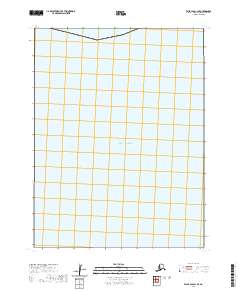 2020 False Pass C-1 SE2020 Print · USGSThe open maritime expanse of the Aleutians East Borough is captured here in the early twenty-first century. This coastal survey allows researchers to trace the public land boundaries of T64S R86W and T64S R85W as they extend into the Pacific Ocean.
 - 2020 Map of False Pass B-4 SE, 2020 Print
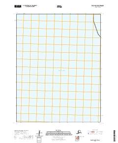 2020 False Pass B-4 SE2020 Print · USGSThe open maritime expanse south of the Aleutian Islands is captured here in the early twenty-first century. Researchers and maritime historians can reference these precise coordinates across the Pacific Ocean near the False Pass B-4 SE quadrangle.
 - 2020 Map of False Pass B-2 NW, 2020 Print
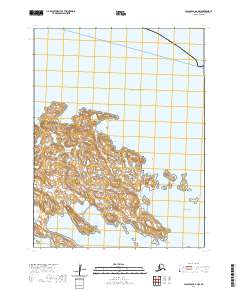 2020 False Pass B-2 NW2020 Print · USGSThe remote archipelago of the Sanak Islands is captured here in the early twenty-first century, showing the complex interplay of land and the Pacific Ocean. Researchers can trace the rugged coastline from Northeast Harbor down to the sheltered waters of Salmon Bay and Caton Harbor.
 - 2020 Map of Simeonof Island D-2 SW, 2020 Print
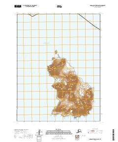 2020 Simeonof Island D-2 SW2020 Print · USGSChernabura Island and the surrounding waters of the Shumagin Islands are documented in detail in this modern topographic study. Researchers can trace the steep coastal terrain and physical landmarks like Point Farewell and Otter Strait.
 - 2020 Map of Simeonof Island D-1 SW, 2020 Print
 2020 Simeonof Island D-1 SW2020 Print · USGSThe remote waters of the Aleutians East are captured in this modern survey of the southwestern archipelago. Maritime historians and researchers can study the shelf geography of the Shumagin Bank as it sits within the vast Pacific Ocean.
 - 2020 Map of False Pass D-0 OE E SW, 2020 Print
 2020 False Pass D-0 OE E SW2020 Print · USGSThe open Pacific Ocean and the maritime boundaries of T62S R82W define this coastal survey of the Aleutians. Researchers can trace the intersection of the public land survey system with the northern Pacific waters in this remote Alaskan borough.
 - 2020 Map of False Pass C-3 SE, 2020 Print
 2020 False Pass C-3 SE2020 Print · USGSCoastal waters south of the Alaska Peninsula define this modern maritime survey of the Aleutians East Borough. While largely focused on the open sea, researchers can trace the shoreline where it meets the Pacific Ocean.
 - 2020 Map of Simeonof Island D-3 NW, 2020 Print
 2020 Simeonof Island D-3 NW2020 Print · USGSNear the turn of the decade, this maritime survey of the Aleutian waters reveals a nearly unbroken expanse of the Pacific Ocean. Navigators and researchers can pinpoint the tiny geological feature known as the Twins, the sole landmark in this remote sea.
 - 2020 Map of False Pass C-1 NE, 2020 Print
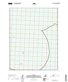 2020 False Pass C-1 NE2020 Print · USGSThe southwestern Alaska coast and open sea are documented in this contemporary survey of the Aleutians East Borough. Maritime researchers and geographers can trace the shoreline of Hay Island and the boundaries of the Pacific Ocean across the regional grid.
 - 2020 Map of False Pass B-2 NE, 2020 Print
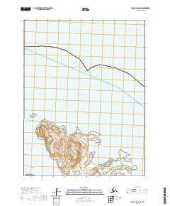 2020 False Pass B-2 NE2020 Print · USGSCoastal Aleutian geography comes into focus during the early twenty-first century as this maritime survey details the shores of the Aleutian East Borough. Researchers can trace the rugged outlines of Caton Island and identify critical navigation points like Lida Anchorage and Whale Point.
 - 2020 Map of False Pass B-3 NW, 2020 Print
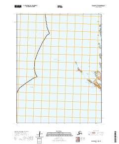 2020 False Pass B-3 NW2020 Print · USGSCoastal Alaska in the early twenty-first century is defined by its maritime landmarks and treacherous waters. For those studying the Aleutian coastline, this map provides precise locations for isolated features like Hennig Rock, the Trinity Islands, and Yukon Reef.
 - 2020 Map of False Pass B-2 SE, 2020 Print
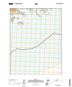 2020 False Pass B-2 SE2020 Print · USGSThe Aleutian chain is revealed in this recent maritime survey of the borough's coastal waters. Researchers can trace the exact positions of Elma Island, Inikla Island, and the waters of Southeast Pass as they were charted in 2020.
 - 2020 Map of Unalaska C-1 NE, 2020 Print
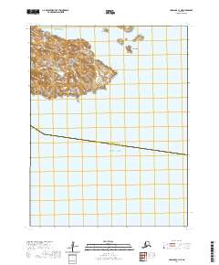 2020 Unalaska C-1 NE2020 Print · USGSThe Aleutian archipelago stands at the boundary of the Bering Sea and Pacific Ocean in this modern maritime survey. Researchers can trace the topography of Unalga Island and the smaller Baby Islands, including landmasses named Tan'gan and Ixsaxsxin.
Showing maps 1-25 of 301
Top cities of Aleutians East
Frequently asked questions
- What are the different types of historical maps available for Aleutians East?
- What is the oldest map of Aleutians East?
- Where can I purchase historical maps of Aleutians East for my home or office?
- Where can I download high-res historical maps of Aleutians East?
- Are there historical topographic maps available for Aleutians East?
- Is there historical aerial imagery available for Aleutians East?
- Where are historical maps of Aleutians East sourced from?