Old Maps of McNary, Arizona for Genealogy
Trace your family roots with 16 historic maps of McNary. These high-res maps reveal old neighborhoods, homesites, landmarks, and streets — helping you uncover where your ancestors lived and how the area evolved over time.
- Explore historic neighborhoods: Identify where your relatives may have lived in the 1800s or 1900s.
- Compare maps over time: Trace the changes in streets, buildings, and landmarks for multi-generational research.
- Perfect for genealogy & ancestry research: Used by family historians and researchers to map out lineage and migration.
These maps are an incredible resource for exploring your personal connection to McNary's past.
McNary, AZ maps
(16)- 1886 Map of St Johns
 1886 St Johns1886 Print · USGSApache County in the 1880s was a landscape of emerging pioneer outposts and high-plateau cattle ranching. Researchers can trace the early footprints of settlements like St Johns and Erastus or locate the original path of the Atlantic and Pacific Railroad.
 - 1892 Map of St Johns
 1892 St Johns1892 Print · USGSArizona's eastern frontier is documented here in the late nineteenth century as cattle ranching and early settlements followed the path of the river. Genealogists and historians can trace the foundations of St Johns and Springerville or locate long-standing sites like Erastus and Windmill Ranch.5 unique versions available
 - 1954 Map of Saint Johns, 1968 Print
 1954 Saint Johns1968 Print · USGSThe high plateau of the Arizona-New Mexico border is captured here in the mid-1950s, showing the intersection of tribal lands and national forests. Researchers can trace the cattle country and mountain outposts from Saint Johns to Pie Town and McNary.3 unique versions available
 - 1957 Map of Saint Johns
 1957 Saint Johns1957 Print · USGSThe Arizona-New Mexico borderlands are captured here in the mid-fifties, showing the high-country settlements and federal lands before modern development. Genealogists and historians can trace old homesteads and landmarks like the Red Hill Post Office, Lyman Reservoir, and the mountain communities of Eagar and Springerville.
 - 1958 Map of Saint Johns
 1958 Saint Johns1958 Print · USGSEastern Arizona and western New Mexico appear here in the late fifties, showcasing the high plateau and forest landscapes along the Continental Divide. Researchers can trace early ranching routes and water systems like Lyman Reservoir or locate remote settlements such as Fence Lake and Atarque.2 unique versions available
 - 1961 Map of McNary, 1963 Print
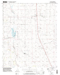
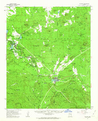 1961 McNary1963 Print · USGSThe high country of Apache and Navajo Counties comes into focus during the early sixties, showing the vital intersection of the timber industry and emerging lakeside communities. Researchers can trace family sites near Lakeside Cem, the remote Indian Pine settlement, and several Cinder Pits along the Mogollon Rim.2 unique versions available
 - 1962 Map of Saint Johns
 1962 Saint Johns1962 Print · USGSEastern Arizona and the New Mexico borderlands come alive in the early sixties, showing a landscape of high-plateau ranching and early national monuments. Trace the path of the Atchison Topeka and Santa Fe or locate old water sources like Salado Springs and Lyman Reservoir.
 - 1976 Map of McNary, 1977 Print
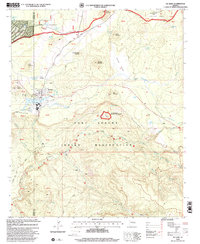
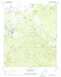 1976 McNary1977 Print · USGSThe timber and reservation lands around McNary are captured here during the mid-seventies, showing the transition from rail to road-based logging. Trace the Old Railroad Grades near McNary or locate the Williams Creek National Fish Hatchery.
 - 1977 Map of McNary, 1978 Print
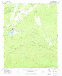 1977 McNary1978 Print · USGSThe lumber town of McNary and the surrounding high-country forests are captured in the late seventies as the region's industry relied on a network of mountain roads. Genealogists and local historians can trace the town's Cem, the Athletic Field, and the Old Railroad Grade along the Mogollon Rim.3 unique versions available
 - 1981 Map of Springerville, 1982 Print
 1981 Springerville1982 Print · USGSThe high-country settlements of eastern Arizona come into focus during the early eighties, from the timber towns of Lakeside and Pinetop to the ranching center of Springerville. Trace family roots in McNary and Eagar or locate historic landmarks like the Williams Creek National Fish Hatchery.2 unique versions available
 - 1996 Map of McNary, 2003 Print
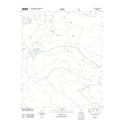
 1996 McNary2003 Print · USGSSoutheastern Arizona at the turn of the millennium shows a landscape shaped by water management and utility infrastructure. Trace the development of Mc Neal alongside its local Cemetery, Private Airport, and the meandering Whitewater Draw.
 - 1998 Map of McNary, 2000 Print
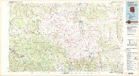
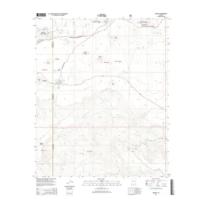
 1998 McNary2000 Print · USGSMcNary and the Fort Apache Indian Reservation are shown in the late nineties as the town straddled the Mogollon Rim. Genealogists and historians can locate the Cem, the Williams Creek National Fish Hatchery, and landmarks like Kinney Mountain.
 - 2011 Map of McNary, 2011 Print
 2011 McNary2011 Print · USGSCovers McNary, including Navajo County, Apache County, and other nearby areas
 - 2014 Map of McNary, 2014 Print
 2014 McNary2014 Print · USGSCovers McNary, including Navajo County, Apache County, and other nearby areas
 - 2018 Map of McNary, 2018 Print
 2018 McNary2018 Print · USGSCovers McNary, including Navajo County, Apache County, and other nearby areas
 - 2021 Map of McNary, 2021 Print
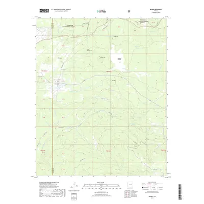
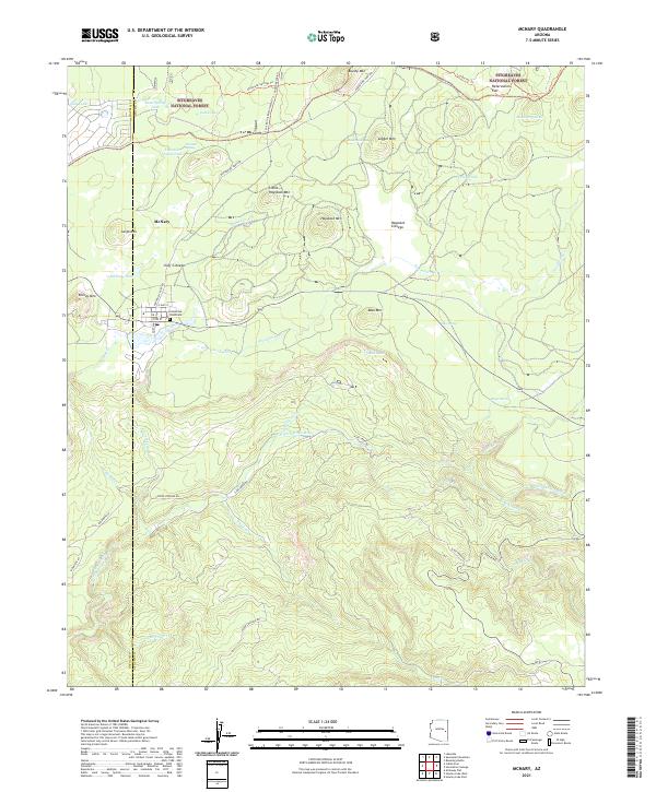 2021 McNary2021 Print · USGSMcNary and the surrounding timberlands of the White Mountains come into focus in the early 2020s. Researchers can trace local landmarks like Ponderosa Pines Cem and follow the rugged drainages of the N Fork White River and Trout Cr.
End of results
Showing maps 1-16 of 16
Top cities near McNary
Frequently asked questions
- What are the different types of historical maps available for McNary?
- What is the oldest map of McNary?
- Where can I purchase historical maps of McNary for my home or office?
- Where can I download high-res historical maps of McNary?
- Are there historical topographic maps available for McNary?
- Is there historical aerial imagery available for McNary?
- Where are historical maps of McNary sourced from?