Old Maps of Douglas, Arizona for Metal Detecting
Plan your next treasure hunt with 30 historic maps of Douglas. Find old homesites, ghost towns, trails, and gathering spots that may be lost to time — perfect for identifying promising metal detecting locations.
- Locate forgotten sites: Uncover places like long-lost settlements, abandoned rail lines, or gathering spots.
- Plan better hunts: Use map overlays combined with LiDAR or satellite views to narrow in on historically rich areas.
- Made for detectorists: Thousands of hobbyists use these maps to discover relics, coins, and hidden history.
Use these historic maps to boost your research and find new opportunities beneath the surface of Douglas.
Douglas, AZ maps
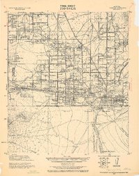
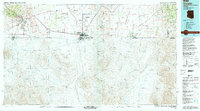
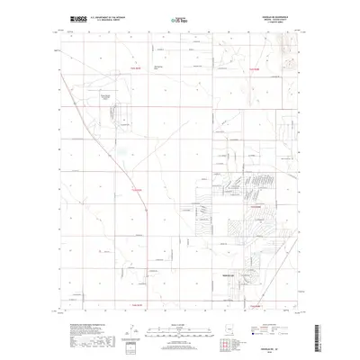
(30)- 1914 Map of Douglas
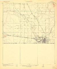 1914 Douglas1914 Print · USGSThe copper-smelting industry dominates the landscape near the international border just before the Great War. Genealogists and historians can trace the early foundations of Douglas, the grid of Pirtleville, and rural landmarks like Carey Ranch and Valley School.3 unique versions available
 - 1916 Map of Douglas
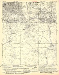 1916 Douglas1916 Print · USGSThe Arizona-Mexico border comes alive in the mid-1910s, showcasing the height of the copper mining era around Bisbee and Douglas. Genealogists and historians can trace family land like Forrests Ranch and local institutions like the Double Adobe Valley School.
 - 1919 Map of Douglas
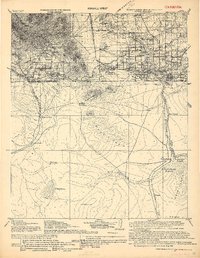 1919 Douglas1919 Print · USGSThe Arizona-Mexico borderlands come alive in the decade following the turn of the century, showing the dense mining and rail networks around the Mule Mountains. Trace early ranching footprints at Forrest's Ranch, the industrial layout of Tin Town, and cross-border landmarks like Mina de Oro.
 - 1919 Map of Perilla
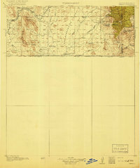 1919 Perilla1919 Print · USGSThe Arizona-Mexico borderlands come alive in this survey of the high desert ranching country. Genealogists and historians can trace family operations like the McDonald Ranch and Ed Howard Ranch, or locate the Cottonwood Creek School and Cazador Siding along the old rail line.4 unique versions available
 - 1925 Map of Douglas
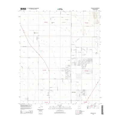
 1925 Douglas1925 Print · USGSThe Arizona-Mexico borderlands in the mid-twenties were a mosaic of family-named ranches and early motor routes. Genealogists can trace individual homesteads like the Cross U Bar R. (Stephenson) or the Lakes Ranch alongside the historic Nacozari Railroad.
 - 1933 Map of Douglas
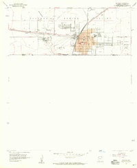
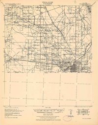 1933 Douglas1933 Print · USGSThe borderlands of Cochise County come alive in the early thirties, showcasing a landscape defined by massive copper smelters and the bustling town of Douglas. Genealogists can trace family holdings from the Copper Queen Ranch to Valley School and identify early landmarks like Camp Harry J Jones.
 - 1940 Map of College Peaks
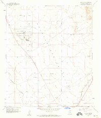
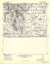 1940 College Peaks1940 Print · USGSThe Arizona-Mexico border comes alive in this pre-war survey of the high desert and cattle country. Genealogists and historians can trace the vast San Bernardino Grant and family outposts like Slaughters Ranch San Bernardino or the Ed Howard Ranch.
 - 1955 Map of Douglas
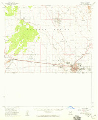
 1955 Douglas1955 Print · USGSThe Arizona and New Mexico borderlands come into focus in the mid-1950s, highlighting the mining and ranching hubs of the Desert Southwest. Genealogists and historians can trace the foundations of Bisbee, the operations at Hachita Mine, and rural landmarks like the Double Adobe School.2 unique versions available
 - 1958 Map of College Peaks, 1959 Print
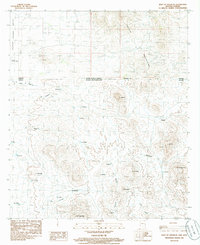
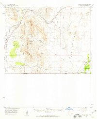 1958 College Peaks1959 Print · USGSSoutheast Arizona's high desert borderlands are captured here in the late fifties, showing a landscape defined by cattle ranching and rugged mountain passes. Genealogists and historians can trace family-named water sources like Steel Woods Windmill and landmarks along the historic Geronimo Trail.3 unique versions available
 - 1958 Map of Douglas, 1959 Print
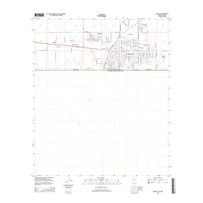
 1958 Douglas1959 Print · USGSThe Arizona-Mexico border comes alive in the 1950s, showing a bustling desert city shaped by smelting and transcontinental rail. Researchers can trace the industrial footprint of the Copper Queen Smelter and locate family sites at Calvary Cemetery or the High School.4 unique versions available
 - 1958 Map of Douglas, 1959 Print
 1958 Douglas1959 Print · USGSThe Arizona-Mexico border landscape comes alive in this late 1950s survey of the Sulphur Springs Valley during a peak era for the copper industry. Genealogists and historians can trace the foundations of Pirtleville, the massive Copper Queen Smelter, and family sites like Stewart Ranch.2 unique versions available
 - 1958 Map of Douglas NE, 1959 Print
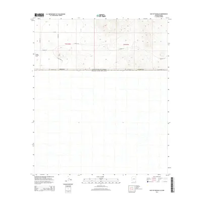
 1958 Douglas NE1959 Print · USGSCochise County ranching and aviation come into focus in the late fifties as the regional economy centers on the border. Genealogists and historians can trace family properties like Stewart Ranch and Watson Ranch or the infrastructure of the Southern Pacific railroad.2 unique versions available
 - 1959 Map of Douglas, 1968 Print
 1959 Douglas1968 Print · USGSSoutheast Arizona and southwest New Mexico meet at the border in the late fifties, showcasing a high-desert landscape defined by industrial copper mining and ranching. Genealogists and historians can trace the foundations of Bisbee, locate the Lavender Pit, and follow the Southern Pacific line through Douglas.4 unique versions available
 - 1961 Map of Douglas
 1961 Douglas1961 Print · USGSThe Arizona-Mexico borderlands come into focus at mid-century, detailing the vital mining and ranching hubs of Cochise County and southwest New Mexico. Genealogists and historians can trace the Southern Pacific Railroad through Bisbee and Douglas, or locate early sites like the Old Hachita Mine and Rucker School.
 - 1964 Map of Douglas
 1964 Douglas1964 Print · USGSThe Arizona-New Mexico borderlands in the early sixties reveal a landscape of deep-rooted copper mining and high-desert ranching. Genealogists and researchers can trace the legacy of settlements like Pirtleville, the industrial site of the Copper Smelter, and remnants of the Cochise Mines.
 - 1985 Map of East of Douglas, 1986 Print
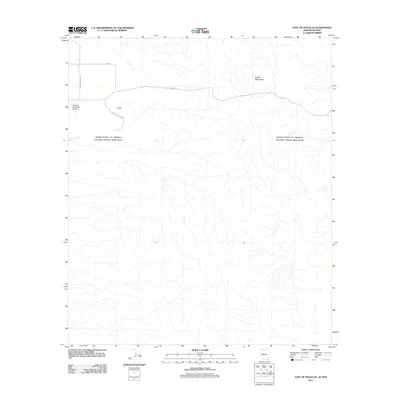
 1985 East of Douglas1986 Print · USGSThe Arizona-Sonora borderlands east of Douglas come into focus in the mid-1980s, showcasing a landscape of high desert ranching and mountain mining. Researchers can trace boundary markers like Mon 82, find scattered ranch sites such as El Potrerito, and locate numerous Mine Shafts in the Perilla Mountains.
 - 1994 Map of Douglas
 1994 Douglas1994 Print · USGSThe copper mining heart of Cochise County and the international border are captured here in the mid-nineties. Researchers can trace the massive Lavender Pit at Bisbee or locate rural landmarks like Paul Spur and the San Bernardino National Wildlife Refuge.2 unique versions available
 - 1996 Map of Douglas NE, 2003 Print
 1996 Douglas NE2003 Print · USGSCochise County's desert ranch lands and infrastructure are captured in the late nineties, showing the area's development near the Mexican border. Genealogists and historians can trace legacy properties like Harris Ranch and the industrial layout of the Bisbee-Douglas International Airport.
 - 2011 Map of Douglas, 2011 Print
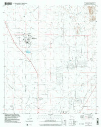
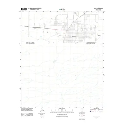 2011 Douglas2011 Print · USGSCovers Douglas, including Agua Prieta, Pirtleville, and other nearby areas
 - 2011 Map of Douglas NE, 2011 Print
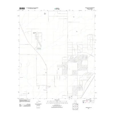 2011 Douglas NE2011 Print · USGSCovers Douglas, including Cochise County, United States, and other nearby areas
 - 2011 Map of East of Douglas, 2011 Print
 2011 East of Douglas2011 Print · USGSCovers Douglas, including Rancho Gallardo, El Alamito, and other nearby areas
 - 2014 Map of Douglas, 2014 Print
 2014 Douglas2014 Print · USGSCovers Douglas, including Agua Prieta, Pirtleville, and other nearby areas
 - 2014 Map of East of Douglas, 2014 Print
 2014 East of Douglas2014 Print · USGSCovers Douglas, including Rancho Gallardo, El Alamito, and other nearby areas
 - 2014 Map of Douglas NE, 2014 Print
 2014 Douglas NE2014 Print · USGSCovers Douglas, including Cochise County, United States, and other nearby areas
 - 2018 Map of Douglas NE, 2018 Print
 2018 Douglas NE2018 Print · USGSCovers Douglas, including Cochise County, United States, and other nearby areas
Showing maps 1-25 of 30
Top cities near Douglas
Frequently asked questions
- What are the different types of historical maps available for Douglas?
- What is the oldest map of Douglas?
- Where can I purchase historical maps of Douglas for my home or office?
- Where can I download high-res historical maps of Douglas?
- Are there historical topographic maps available for Douglas?
- Is there historical aerial imagery available for Douglas?
- Where are historical maps of Douglas sourced from?