1980s Maps of Coconino County, Arizona
Explore 225 historic maps of Coconino County from the 1980s. These maps offer a rare glimpse into what life looked like during the 1980s — showing old roads, neighborhoods, homes, and landmarks that have changed or disappeared over time.
Whether you're researching your family's past, planning a metal detecting trip, or studying how Coconino County's landscape evolved across the 1980s, these high-resolution maps are a powerful tool for exploring the history of this region.
- Focus on a specific era: All maps on this page are from the 1980s, giving you a focused view of this time period.
- See what’s changed: Compare century-old streets, trails, and buildings to today's modern landscape using overlays and satellite layers.
- Research with precision: Use these maps for genealogy, historical research, land use analysis, or educational projects.
- View, download, or print: Maps are fully viewable online in high resolution, and can be downloaded or printed for your own records.
Start exploring Coconino County's history through authentic maps from the 1980s. This is your window into the past.
Coconino County, AZ maps
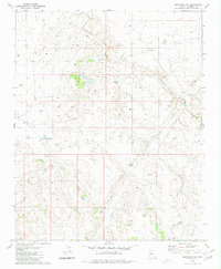
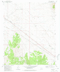
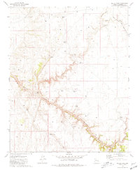
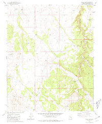
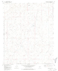
(225)- 1980 Map of Robbers Roost Canyon
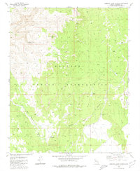 1980 Robbers Roost Canyon1980 Print · USGSThe Hualapai Indian Reservation in northern Arizona is shown here in the late 1970s, defined by its high plateaus and deep canyons. Researchers can trace the rugged topography and water management systems at landmarks like the Tower of Babylon and Diamond Creek Spring.
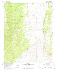
 - 1980 Map of Rose Well Camp West
 1980 Rose Well Camp West1980 Print · USGSThe northern Arizona plateau and the Hualapai Indian Reservation appear in the early 1980s as a landscape of remote cattle camps. Researchers can trace the network of watering tubs and tanks, from Rose Well Camp to Owen Dam and Tub No 2.
 - 1980 Map of Red Butte SW
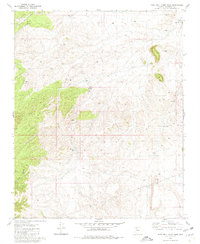
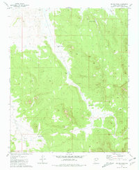
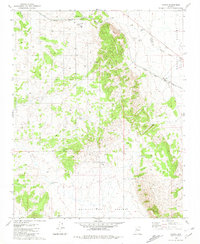
 1980 Red Butte SW1980 Print · USGSCoconino County high country in the 1970s and early 1980s reveals a landscape of cattle ranching and rail history within the Kaibab National Forest. Trace the old rail stop at Anita Station or locate mining sites like the Copper Queen Mine and various Prospects.2 unique versions available
 - 1980 Map of Hazen Hole Tank, 1981 Print
 1980 Hazen Hole Tank1981 Print · USGSHigh-desert ranching and water management define this Coconino County landscape during the late seventies. Researchers can trace the infrastructure of the local livestock industry through features like Hazen Hole Tank, Farm Dam Tank, and the various numbered water tanks.
 - 1980 Map of Markham Dam, 1981 Print
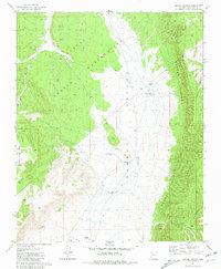
 1980 Markham Dam1981 Print · USGSCoconino County cattle country is shown here in the early eighties, defined by a massive network of stock tanks and water management. Researchers can trace land use through features like Markham Dam, Little Rodgers Tanks, and the winding Cataract Canyon.2 unique versions available
 - 1980 Map of Tin House, 1981 Print
 1980 Tin House1981 Print · USGSCoconino County ranching lands are captured in the early eighties, showcasing the specialized water infrastructure of the Arizona plateau. Trace family-named landmarks and range improvements like Tin House, Paul Moore Tank, and Mexican Tank across the high desert.2 unique versions available
 - 1980 Map of Black Tank, 1981 Print
 1980 Black Tank1981 Print · USGSCoconino County ranching life in the late seventies relied heavily on the strategic placement of water catchments across the high desert. Genealogists and historians can trace the remote Black Tank Camp and find the location of the Farm Dam and Nelson Tank.
 - 1980 Map of Kanab, 1981 Print
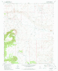
 1980 Kanab1981 Print · USGSSouthern Utah in the late seventies is a landscape of massive geologic terraces and isolated ranching towns. Trace the growth of Kanab and Springdale or locate vanished sites like Shunesburg among the White Cliffs and Vermilion Cliffs.
 - 1980 Map of Audley, 1981 Print
 1980 Audley1981 Print · USGSThe Arizona high desert in the early 1980s is defined by the Atchison Topeka and Santa Fe line cutting through Aubrey Valley. Researchers can trace the ranching life at Pica Camp and Audley or locate a solitary Grave near the tracks.
 - 1980 Map of Dike Tank, 1981 Print
 1980 Dike Tank1981 Print · USGSThe Hualapai Indian Reservation landscape in the early 1980s was a remote network of ranching outposts and seasonal drainages. Genealogists and historians can trace old property boundaries and landmarks like Hog Ranch Tank, Ruins, and Albers Wash.2 unique versions available
 - 1980 Map of Holbrook, 1996 Print
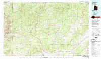
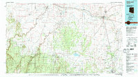 1980 Holbrook1996 Print · USGSHolbrook and the surrounding Navajo County high desert are captured here in the early eighties, showcasing a landscape of rail-driven commerce and ranching. Researchers can trace the Atchison Topeka and Santa Fe RR through Penzance or locate historical points like Mormon Crossing and Rock Station.2 unique versions available
 - 1980 Map of Sedona, 1996 Print
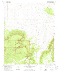
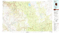 1980 Sedona1996 Print · USGSThe red rock country around Sedona and the Verde Valley are captured in the late twentieth century, showing a mix of ancient sites and modern growth. Genealogists and researchers can trace local landmarks like Cornville, the Camp Verde Indian Reservation, and Montezuma Castle National Monument.
 - 1981 Map of Seligman East
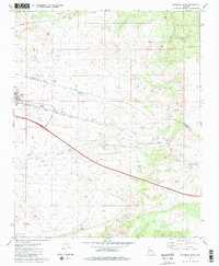 1981 Seligman East1981 Print · USGSSeligman sits at a historic crossroads in the early 1980s, where the high-desert rail economy met the interstate era. Genealogists and historians can trace the town layout near the Atchison Topeka and Santa Fe Railroad or locate local landmarks like Padre Reservoir and High Sch.2 unique versions available
 - 1981 Map of Grand Canyon Caverns
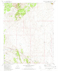 1981 Grand Canyon Caverns1981 Print · USGSNorthern Arizona's high-desert landscape comes to life in the early 1980s, highlighting the remote settlements and infrastructure of the period. Researchers can trace the Atchison Topeka and Santa Fe railroad and locate landmarks like Grand Canyon Caverns and Hyde Park.
 - 1981 Map of Seligman West
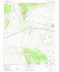 1981 Seligman West1981 Print · USGSThe high-desert crossroads at Seligman in the early 1980s reveals a landscape defined by the railroad and water management. Trace family-named landmarks like Buck Rogers Well and remote outposts such as Shorty Tank Corral along the Atchison Topeka and Santa Fe line.3 unique versions available
 - 1981 Map of Baldy Basin
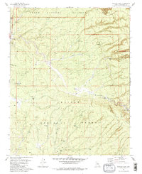
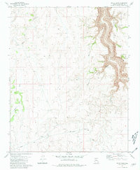 1981 Baldy Basin1981 Print · USGSCoconino County was defined by its high desert plateaus and dramatic rim country in the early eighties. Researchers can trace the water infrastructure of the era through Aqueduct lines and remote catchments like Sunnella Spring and Tank No 13 (Water).
 - 1981 Map of Miller Tank
 1981 Miller Tank1981 Print · USGSThe high plateau of Coconino County is captured here in the early eighties, showcasing a landscape defined by the deep Cataract Canyon. Genealogists and historians can trace old ranching infrastructure through features like Babbitt Tank and the route of the Atchison Topeka and Santa Fe.
 - 1981 Map of Big Bud Tank
 1981 Big Bud Tank1981 Print · USGSArizona's high plateau country is documented here in the early eighties, revealing a landscape defined by essential water management. Genealogists and historians can trace local landmarks and named catchments like Murphy-Johnson Tank, Rodgers Draw, and Big Bud Tank.
 - 1981 Map of Crater Canyon
 1981 Crater Canyon1981 Print · USGSCoconino County ranching and reservation lands are captured in the early eighties as the western plateau meets the vast Aubrey Valley. Researchers can trace remote homesteading and water sources through Stonys Cabin, Jake McCain Tank, and Indian Well.2 unique versions available
 - 1981 Map of National Tank
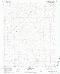
 1981 National Tank1981 Print · USGSCoconino County land within the Hualapai Indian Reservation is shown here in the early 1980s, centered on the high desert drainage system. Researchers can locate remote water sources and cattle tanks like National Tank, Potters Hole, and Sink Tank.
 - 1981 Map of Mixon Tank
 1981 Mixon Tank1981 Print · USGSCoconino County ranch lands are documented in the early eighties as a network of vital water catchments and deep drainage canyons. Researchers can trace the development of the local cattle range through features like Mixon Tank, Cataract Canyon, and Robber Tank.
 - 1981 Map of Payson
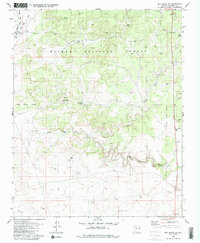
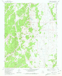
 1981 Payson1981 Print · USGSCentral Arizona's mountain country comes into focus in the early eighties, centered on the growing town of Payson. Trace the mining history at Gowan Mine, find old forest outposts like Kohls Ranch, and see the rugged Mogollon Rim terrain.2 unique versions available
 - 1981 Map of Yampai
 1981 Yampai1981 Print · USGSRailroad and ranching life intersect at the border of Yavapai and Coconino Counties in the early eighties. Researchers can trace the path of the Atchison Topeka and Santa Fe past remote outposts like Rock House and Pica.
 - 1981 Map of Tusayan East
 1981 Tusayan East1981 Print · USGSCoconino County’s southern approach to the Grand Canyon is captured here in the early eighties as the village of Tusayan grew alongside federal forest lands. Trace the network of cattle tanks and forest tracks like Ten X Wash and the Tusayan Ranger Station.2 unique versions available
 - 1981 Map of Rosebud Tank
 1981 Rosebud Tank1981 Print · USGSCoconino County ranching country is captured here during the mid-seventies, showing the vital water infrastructure of the Arizona high country. Researchers can trace the network of range improvements and catchments like Rosebud Tank, Blanko Tank, and Broken Axle Tank.
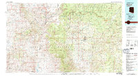
Showing maps 1-25 of 225
Top cities of Coconino County
- Flagstaff historical maps
- Page historical maps
- Doney Park historical maps
- Williams historical maps
- Kachina Village historical maps
- Timberline-Fernwood historical maps
See more
Frequently asked questions
- What are the different types of historical maps available for Coconino County?
- What is the oldest map of Coconino County?
- Where can I purchase historical maps of Coconino County for my home or office?
- Where can I download high-res historical maps of Coconino County?
- Are there historical topographic maps available for Coconino County?
- Is there historical aerial imagery available for Coconino County?
- Where are historical maps of Coconino County sourced from?