Old Maps of Moccasin, Kaibab for Hiking & Exploration
Hike through history with 13 historic maps of Moccasin. Explore old trails, ghost towns, and forgotten backroads — perfect for outdoor adventurers and local explorers.
- Rediscover forgotten places: Map out old mining camps, roads, and footpaths that no longer exist on modern maps.
- Layer with modern tools: Combine with LiDAR or satellite views to plan hikes through historical terrain.
- Made for exploration: Popular among hikers, overlanders, and local history lovers.
Use these maps to find adventure and explore the hidden past of Moccasin.
Moccasin, Kaibab maps
(13)- 1886 Map of Kaibab, 1900 Print
 1886 Kaibab1900 Print · USGSThe northern Arizona frontier is captured in the late 1880s as early surveyors mapped the deep canyonlands and plateau systems. Researchers can locate critical water sources like Pipe Spring and early landmarks including Shivas Temple and Point Sublime.9 unique versions available
 - 1953 Map of Grand Canyon, 1967 Print
 1953 Grand Canyon1967 Print · USGSArizona's northern frontier is captured here in the mid-twentieth century, from the high plateaus to the desert basins. Trace early routes like Arizona 67, explore the isolated Moccasin settlement, or locate early landmarks such as Mount Trumbull.3 unique versions available
 - 1954 Map of Short Creek, 1959 Print
 1954 Short Creek1959 Print · USGSArizona’s high desert borderlands are mapped here in the mid-1950s, showing the early layouts of remote Mormon and tribal settlements. Genealogists and historians can locate early family-named sites like Esplins Corral, Moccasin, and the Cemetery at Short Creek.2 unique versions available
 - 1956 Map of Short Creek NE
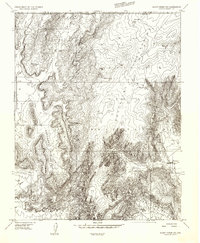 1956 Short Creek NE1956 Print · USGSThe Arizona-Utah borderlands within the Kaibab Indian Reservation appear here in the mid-fifties. Researchers can trace the water infrastructure of the era through sites like Bee Cistern and the settlement at Moccasin below the Vermilion Cliffs.
 - 1957 Map of Grand Canyon
 1957 Grand Canyon1957 Print · USGSNorthern Arizona in the mid-fifties presents a sparsely settled expanse of high plateaus and ranching outposts surrounding the great canyon. Genealogists and historians can trace family land at Diamond Butte Ranch, locate the Moccasin settlement, or study the magnesium works at Black Diamond Mine.
 - 1958 Map of Grand Canyon
 1958 Grand Canyon1958 Print · USGSNorthern Arizona in the late fifties was a landscape of remote cattle ranches and timber operations spanning from the Virgin Mountains to the Kaibab Forest. Researchers can locate family outposts like Bundy Ranch, trace the Temple Trail, or find the Parashant Lumber Mill.
 - 1960 Map of Grand Canyon
 1960 Grand Canyon1960 Print · USGSThe Arizona strip and the Colorado River corridor appear in the 1950s as a vast network of isolated plateaus and remote outposts. Researchers can trace historic ranching and tribal lands including Supai, the Kaibab Indian Reservation, and the Mt Trumbull Post Office.
 - 1984 Map of Fredonia
 1984 Fredonia1984 Print · USGSThe Arizona Strip in the mid-1980s reveals a sparse network of settlements and vast public lands. Genealogists and historians can trace the foundations of Fredonia and Colorado City or locate landmarks like Pipe Spring National Monument.2 unique versions available
 - 1988 Map of Moccasin
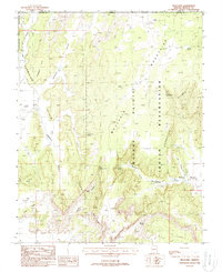 1988 Moccasin1988 Print · USGSThe settlement of Moccasin and the Kaibab Indian Reservation are captured here in the late eighties as they existed within a landscape of dramatic sandstone plateaus. Researchers can locate the community's Cem, the local Rodeo Ground, and numerous named water sources like Meeks Spring.
 - 2011 Map of Moccasin, 2011 Print
 2011 Moccasin2011 Print · USGSThe settlement of Moccasin sits at the foot of the desert uplands in the early twenty-first century. Researchers can trace local infrastructure around the Moccasin Post Office and the dramatic topography of the Vermilion Cliffs and Bull Pasture.2 unique versions available
 - 2014 Map of Moccasin, 2014 Print
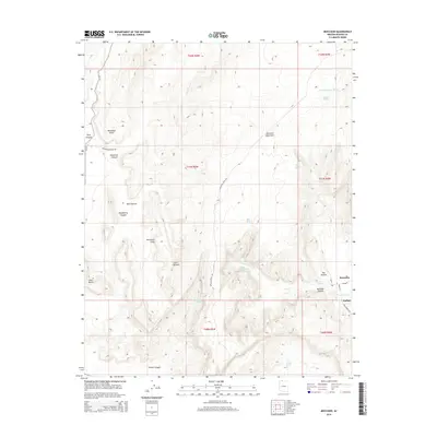 2014 Moccasin2014 Print · USGSMoccasin and the Kaibab lands are shown here in the early twenty-first century, centered on a high-desert landscape of springs and cliffs. Genealogists and researchers can trace the vicinity of Moccasin and Upper Moccasin Springs or locate remote landmarks like Parashont Point.
 - 2018 Map of Moccasin, 2018 Print
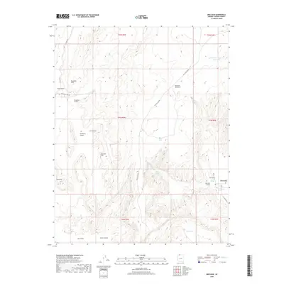 2018 Moccasin2018 Print · USGSThe community of Moccasin and its surrounding canyonlands are documented here in the early twenty-first century. Researchers can locate desert water sources like Upper Moccasin Springs and trace the paths of Maccasin Peak Rd through the Vermilion Cliffs.
 - 2021 Map of Moccasin, 2021 Print
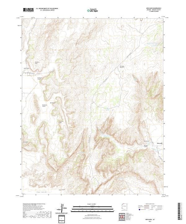 2021 Moccasin2021 Print · USGSIn the high desert of northern Arizona, this recent survey captures the remote settlement of Moccasin and its surrounding water sources. Researchers can trace land patterns near the Vermilion Cliffs and locate historic springs like Upper Moccasin Springs and Willow Spring.
End of results
Showing maps 1-13 of 13
Top cities near Moccasin
- Kanab historical maps
- Colorado City historical maps
- Hildale historical maps
- Cane Beds historical maps
- Kaibab historical maps
Frequently asked questions
- What are the different types of historical maps available for Moccasin?
- What is the oldest map of Moccasin?
- Where can I purchase historical maps of Moccasin for my home or office?
- Where can I download high-res historical maps of Moccasin?
- Are there historical topographic maps available for Moccasin?
- Is there historical aerial imagery available for Moccasin?
- Where are historical maps of Moccasin sourced from?