2000s (21st Century) Maps of Pinetop-Lakeside, Arizona
Explore 12 historic maps of Pinetop-Lakeside from the 2000s (21st Century). These maps offer a rare glimpse into what life looked like during the 2000s — showing old roads, neighborhoods, homes, and landmarks that have changed or disappeared over time.
Whether you're researching your family's past, planning a metal detecting trip, or studying how Pinetop-Lakeside's landscape evolved across the 2000s, these high-resolution maps are a powerful tool for exploring the history of this region.
- Focus on a specific era: All maps on this page are from the 2000s, giving you a focused view of this time period.
- See what’s changed: Compare century-old streets, trails, and buildings to today's modern landscape using overlays and satellite layers.
- Research with precision: Use these maps for genealogy, historical research, land use analysis, or educational projects.
- View, download, or print: Maps are fully viewable online in high resolution, and can be downloaded or printed for your own records.
Start exploring Pinetop-Lakeside's history through authentic maps from the 2000s. This is your window into the past.
Pinetop-Lakeside, AZ maps
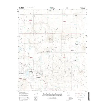
(12)- 2011 Map of Indian Pine, 2011 Print
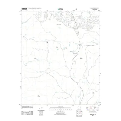 2011 Indian Pine2011 Print · USGSCovers Pinetop-Lakeside, including Amos Ranch, Pinetop Country Club, and other nearby areas
 - 2011 Map of Lakeside, 2011 Print
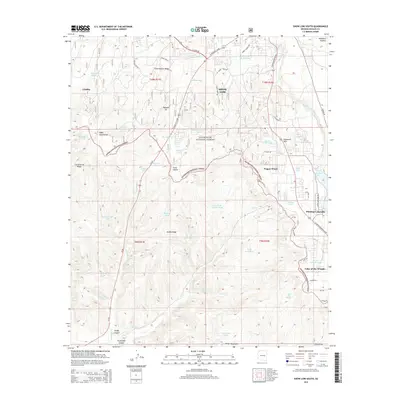
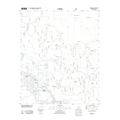 2011 Lakeside2011 Print · USGSCovers Pinetop-Lakeside, including Show Low, Sponseller, and other nearby areas
 - 2011 Map of Show Low South, 2011 Print
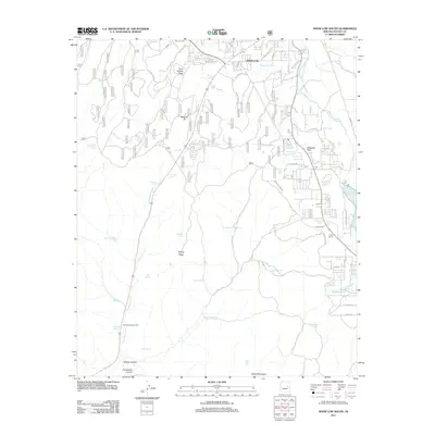 2011 Show Low South2011 Print · USGSCovers Pinetop-Lakeside, including Show Low, Wagon Wheel, and other nearby areas
 - 2014 Map of Indian Pine, 2014 Print
 2014 Indian Pine2014 Print · USGSCovers Pinetop-Lakeside, including Amos Ranch, Pinetop Country Club, and other nearby areas
 - 2014 Map of Lakeside, 2014 Print
 2014 Lakeside2014 Print · USGSCovers Pinetop-Lakeside, including Show Low, Sponseller, and other nearby areas
 - 2014 Map of Show Low South, 2014 Print
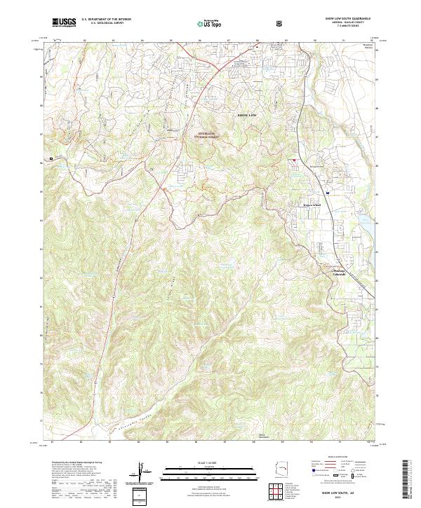
 2014 Show Low South2014 Print · USGSCovers Pinetop-Lakeside, including Show Low, Wagon Wheel, and other nearby areas
 - 2018 Map of Show Low South, 2018 Print
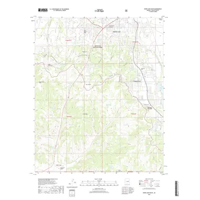 2018 Show Low South2018 Print · USGSCovers Pinetop-Lakeside, including Show Low, Wagon Wheel, and other nearby areas
 - 2018 Map of Lakeside, 2018 Print
 2018 Lakeside2018 Print · USGSCovers Pinetop-Lakeside, including Show Low, Sponseller, and other nearby areas
 - 2018 Map of Indian Pine, 2018 Print
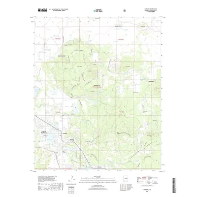
 2018 Indian Pine2018 Print · USGSCovers Pinetop-Lakeside, including Amos Ranch, Pinetop Country Club, and other nearby areas
 - 2021 Map of Lakeside, 2021 Print
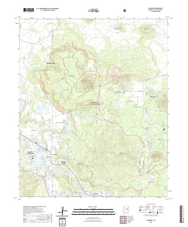 2021 Lakeside2021 Print · USGSNavajo County's high-country settlements and forest lands are captured in this 2021 survey of the White Mountains region. Researchers can trace the layout of Pinetop-Lakeside, locate the Rainbow Lake Cem, and follow the old rails at Sponseller Siding.
 - 2021 Map of Indian Pine, 2021 Print
 2021 Indian Pine2021 Print · USGSNavajo County's high country is captured here during a period of modern expansion alongside traditional forest lands. Researchers can trace local heritage through the Cooley Mountain Cem or follow the terrain from Hondah into Post Office Canyon.
 - 2021 Map of Show Low South, 2021 Print
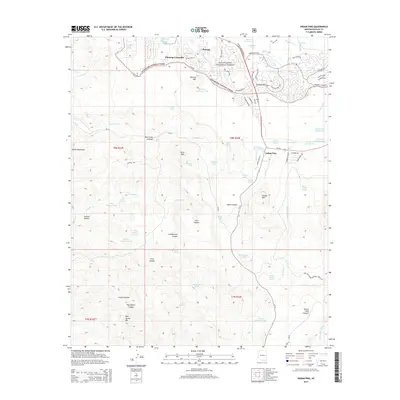
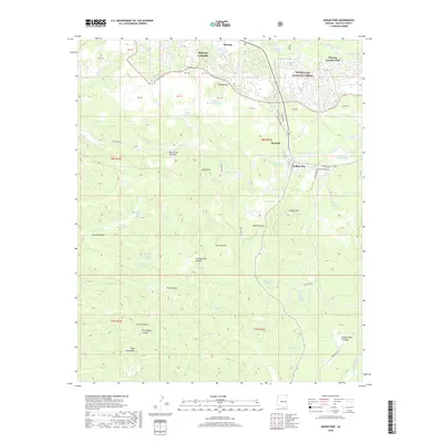
 2021 Show Low South2021 Print · USGSThe high timber country of Navajo County comes into focus in this recent survey of the Arizona highlands. Researchers can trace the growth of Show Low and Pinetop-Lakeside alongside old water sources like Ruin Springs and Big Pine Tank.
End of results
Showing maps 1-12 of 12
Top cities near Pinetop-Lakeside
Top neighborhoods of Pinetop-Lakeside
Frequently asked questions
- What are the different types of historical maps available for Pinetop-Lakeside?
- What is the oldest map of Pinetop-Lakeside?
- Where can I purchase historical maps of Pinetop-Lakeside for my home or office?
- Where can I download high-res historical maps of Pinetop-Lakeside?
- Are there historical topographic maps available for Pinetop-Lakeside?
- Is there historical aerial imagery available for Pinetop-Lakeside?
- Where are historical maps of Pinetop-Lakeside sourced from?