2010s Maps of Pima County, Arizona
Explore 570 historic maps of Pima County from the 2010s. These maps offer a rare glimpse into what life looked like during the 2010s — showing old roads, neighborhoods, homes, and landmarks that have changed or disappeared over time.
Whether you're researching your family's past, planning a metal detecting trip, or studying how Pima County's landscape evolved across the 2010s, these high-resolution maps are a powerful tool for exploring the history of this region.
- Focus on a specific era: All maps on this page are from the 2010s, giving you a focused view of this time period.
- See what’s changed: Compare century-old streets, trails, and buildings to today's modern landscape using overlays and satellite layers.
- Research with precision: Use these maps for genealogy, historical research, land use analysis, or educational projects.
- View, download, or print: Maps are fully viewable online in high resolution, and can be downloaded or printed for your own records.
Start exploring Pima County's history through authentic maps from the 2010s. This is your window into the past.
Pima County, AZ maps
(570)- 2011 Map of Elgin, 2011 Print
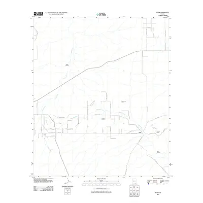 2011 Elgin2011 Print · USGSSoutheastern Arizona's ranching country is centered around Elgin in the early twenty-first century. Genealogists and historians can locate the Fruitland Cemetery or trace landmarks like S X Ranch and the Babocomari River.
 - 2011 Map of Cat Mountain, 2011 Print
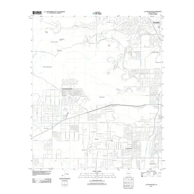 2011 Cat Mountain2011 Print · USGSTucson and its southwestern suburbs meet the rugged desert peaks during a period of significant regional growth. Researchers can trace the development of Drexel Heights and the Santa Cruz Valley alongside landmarks like Tumamoc Hill and Gates Pass.
 - 2011 Map of Comobabi, 2011 Print
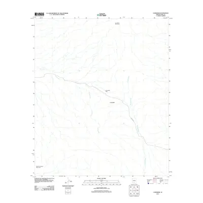 2011 Comobabi2011 Print · USGSThe Schuk Toak District of Pima County is captured here in the early twenty-first century, centered on the desert settlement of Comobabi. Researchers can trace the path of Indian Rte 30 as it navigates the Comobabi Pass between two mountain ranges.
 - 2011 Map of Black Hills, 2011 Print
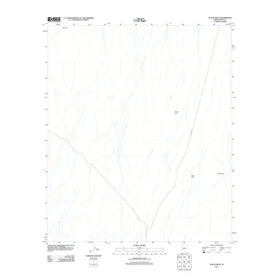 2011 Black Hills2011 Print · USGSThe Schuk Toak District of Pima County is captured here in the early 2010s, showing a desert landscape defined by remote ranching and seasonal washes. Genealogists and local historians can trace the vicinity of San Ignacio Ranch and landmarks like Vaca Hills and Proctor Hill.
 - 2011 Map of Koht Kohl Hill, 2011 Print
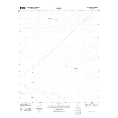 2011 Koht Kohl Hill2011 Print · USGSThe Schuk Toak District of Pima County is captured here in the early twenty-first century, showcasing a desert landscape shaped by seasonal washes and isolated peaks. Researchers can trace local settlements like Skoksonak and Quinlin along the diagonal path of Indian Rte 35.
 - 2011 Map of Brown Mountain, 2011 Print
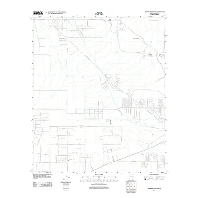 2011 Brown Mountain2011 Print · USGSThe Schuk Toak District and Tucson foothills are shown in this era of suburban desert expansion. Researchers can trace the layout of Old Tucson and Ryan Field, or find local landmarks like Phillips Ranch and King Canyon.
 - 2011 Map of Three Points, 2011 Print
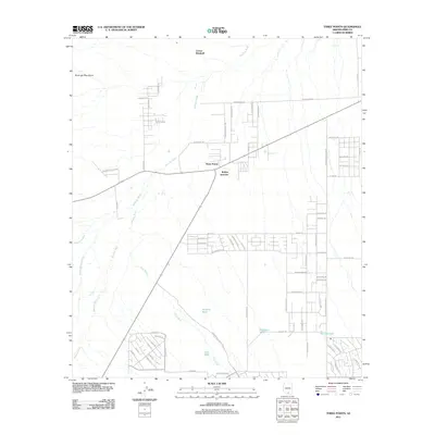 2011 Three Points2011 Print · USGSThe Pima County crossroads at Three Points and Robles Junction are captured here during a period of expanding rural residential growth. Researchers can trace the desert hydrology through Brawley Wash or locate ranching landmarks like Corner Windmill and Sierrita Tank.
 - 2011 Map of Tortolita Mountains, 2011 Print
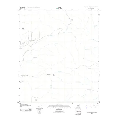 2011 Tortolita Mountains2011 Print · USGSThe Tortolita Mountains and their rugged canyons appear in this early twenty-first-century survey as a landscape of isolated desert ranching. Researchers can trace historic water sources and ranch holdings like Palo Verde Ranch, McKenzie Ranch, and the Riddle Windmill.
 - 2011 Map of Pan Tak, 2011 Print
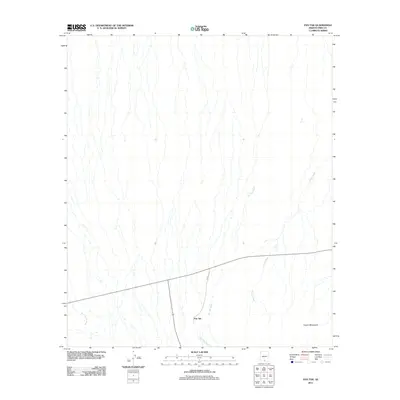 2011 Pan Tak2011 Print · USGSThe Schuk Toak District of Pima County is captured here in the early twenty-first century, showing the settlement of Pan Tak at the foot of the Coyote Mountains. Researchers can trace the paths of desert drainages like Pan Tak Wash and Viopuli Wash alongside modern road routes.
 - 2011 Map of West of Marana, 2011 Print
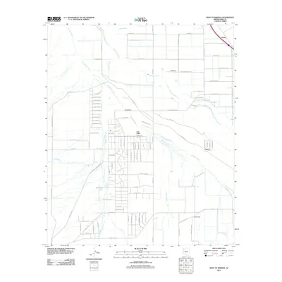 2011 West of Marana2011 Print · USGSThe desert outskirts of Pima County come into focus in the early 2010s as rural residential grids expand toward the Santa Cruz River. Genealogists and local historians can trace the development of Avra Valley and the smaller footprints of Naviska and Nelson.
 - 2011 Map of Haivana Nakya, 2011 Print
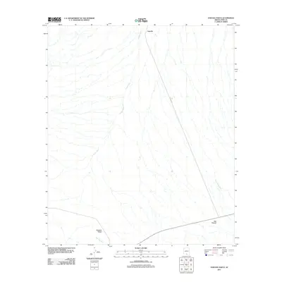 2011 Haivana Nakya2011 Print · USGSThe Schuk Toak District of Pima County is captured here in the early twenty-first century, showing a desert landscape shaped by seasonal watercourses. Researchers can trace the layout of small settlements like Haivana Nakya and San Vicente along the path of Anegan Wash.
 - 2011 Map of Jaynes, 2011 Print
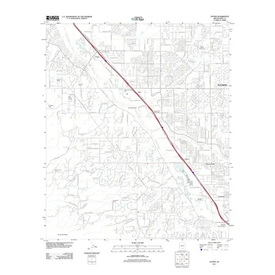 2011 Jaynes2011 Print · USGSThe northwest edge of the Tucson metro area is captured here during a period of rapid suburban and commercial expansion. Genealogists and local historians can trace the evolution of old desert holdings like Sahuaro Ranch and the community of Flowing Wells.
 - 2011 Map of West of Avra, 2011 Print
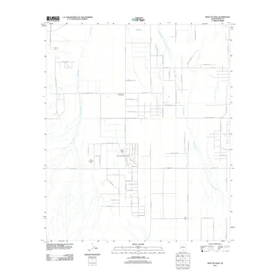 2011 West of Avra2011 Print · USGSPima County’s arid basin is captured here as a landscape of cotton production and desert aviation during the early twenty-first century. Researchers can trace rural developments at Western Avra Cotton Gin or explore local flight history at The Ultralight Strip and Palm Valley Tucson Airport.
 - 2011 Map of Santa Rosa Mountains SE, 2011 Print
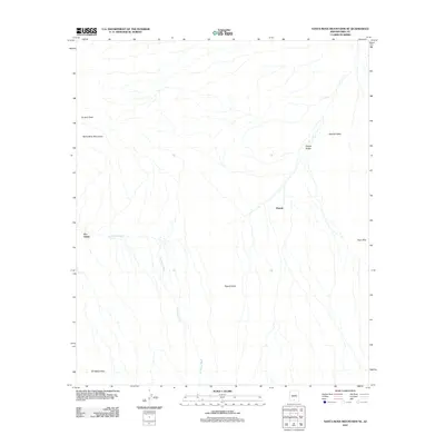 2011 Santa Rosa Mountains SE2011 Print · USGSThe Sif Oidak District in the early twenty-first century is defined by its arid basins and the peaks of the Santa Rosa Mountains. Researchers can trace the path of the Sil Nakya Wash and locate the small settlements of Hoi Oidak and Pipyak in their desert context.
 - 2011 Map of Desert Peak, 2011 Print
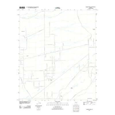 2011 Desert Peak2011 Print · USGSMarana, Arizona, is shown in the early twenty-first century as a desert landscape of seasonal washes and growing road networks. Researchers can trace rural aviation at El Mirador Airport and locate family landholdings like Goodman Ranch or Davis Ranch.
 - 2011 Map of Silver Bell West, 2011 Print
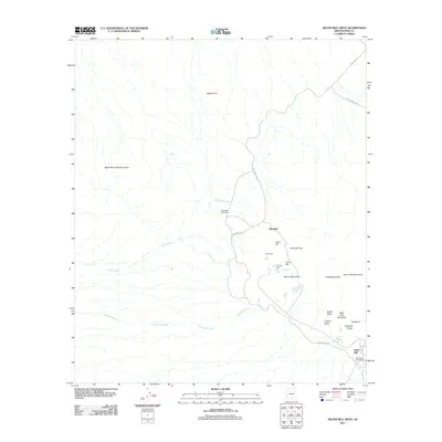 2011 Silver Bell West2011 Print · USGSMining operations in the West Silver Bell Mountains of Pima County are documented here in detail during the early 21st century. Genealogists and industrial historians can locate the Silver Bell Cemetery and trace the legacy of the El Tiro Pit and Kurtz Shaft.
 - 2011 Map of San Pedro, 2011 Print
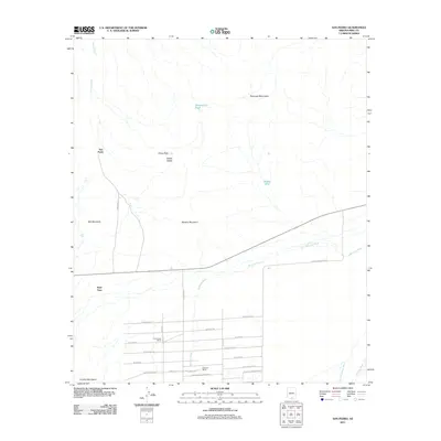 2011 San Pedro2011 Print · USGSSouthern Arizona’s desert landscape is captured here in the early twenty-first century, showing the rural communities west of Tucson. Genealogists and historians can trace property boundaries and desert infrastructure near San Pedro, U-Diamond Ranch, and Nawt Vaya.
 - 2011 Map of San Ignacio Ranch, 2011 Print
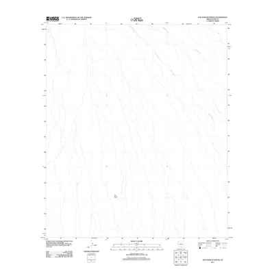 2011 San Ignacio Ranch2011 Print · USGSThe Schuk Toak District of Pima County is captured here in the early twenty-first century, showcasing the persistent ranching heritage of the Arizona desert. Researchers can locate San Ignacio Ranch and trace the paths of seasonal desert drainages like Viopuli Wash and Aguirre Wash.
 - 2011 Map of Friendly Corners, 2011 Print
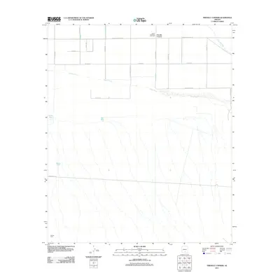 2011 Friendly Corners2011 Print · USGSFriendly Corners and the Pinal County desert are captured here in a period of established irrigation and rural agriculture. Genealogists and researchers can trace local infrastructure through the Arizona State Farm Labor Camp, Old Well Corral, and the Greene Canal.
 - 2011 Map of Chukut Kuk, 2011 Print
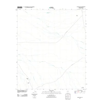 2011 Chukut Kuk2011 Print · USGSThe Pima County desert landscape in the early twenty-first century is defined by its deep basins and seasonal washes. Researchers can trace the path of Vamori Wash through the Sells Valley and locate the remote settlement of Chukut Kuk.
 - 2011 Map of Kupk, 2011 Print
 2011 Kupk2011 Print · USGSThe Pisinemo District comes into focus during the early twenty-first century as a desert landscape shaped by seasonal watercourses. Researchers can locate small communities like Kupk and Chicli-Vo or trace the paths of the Vamori Wash and San Luis Wash.
 - 2011 Map of Papago Farms, 2011 Print
 2011 Papago Farms2011 Print · USGSSouthern Arizona desert life and agricultural development are captured here in the early twenty-first century. Researchers can trace the grid of Papago Farms and the settlement at Stan Shuatuk along the seasonal Chukut Kuk Wash.
 - 2011 Map of Chupan Mountain, 2011 Print
 2011 Chupan Mountain2011 Print · USGSThe Pisinemo District of Pima County comes into focus in this recent survey of the Sonoran desert. Researchers can trace the geographic relationships between the Mesquite Mountains, Chupan Mountain, and the broad floor of Quijotoa Valley.
 - 2011 Map of Pia Oik, 2011 Print
 2011 Pia Oik2011 Print · USGSThe Tohono O'odham desert landscape is documented here in the early 2000s, showing the intersection of traditional settlements and Bureau of Indian Affairs routes. Researchers can trace the drainages of Siovi Shuatak Wash and locate the communities of Pia Oik and Sweetwater.
 - 2011 Map of Gu Oidak, 2011 Print
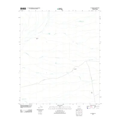 2011 Gu Oidak2011 Print · USGSThe Sonoran Desert landscape of Pima County comes into focus in the early twenty-first century, centered on the settlement of Gu Oidak. Researchers can trace the network of ephemeral water sources like Kuke Chehedagi Tank and the path of Indian Rte 24 through the Gu Oidak Valley.
Showing maps 1-25 of 570
Top cities of Pima County
- Tucson historical maps
- Marana historical maps
- Oro Valley historical maps
- Sahuarita historical maps
- Vail historical maps
- Picture Rocks historical maps
See more
Frequently asked questions
- What are the different types of historical maps available for Pima County?
- What is the oldest map of Pima County?
- Where can I purchase historical maps of Pima County for my home or office?
- Where can I download high-res historical maps of Pima County?
- Are there historical topographic maps available for Pima County?
- Is there historical aerial imagery available for Pima County?
- Where are historical maps of Pima County sourced from?